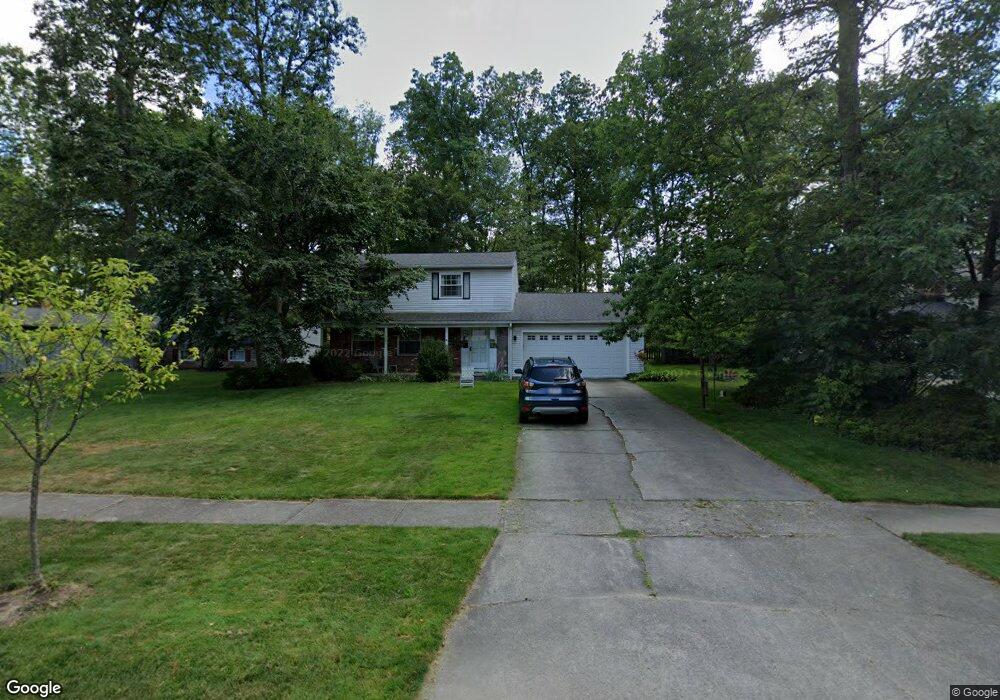
16911 Pheasant Trail Place Strongsville, OH 44136
Estimated Value: $316,146 - $353,000
3
Beds
3
Baths
1,875
Sq Ft
$179/Sq Ft
Est. Value
About This Home
This home is located at 16911 Pheasant Trail Place, Strongsville, OH 44136 and is currently estimated at $336,537, approximately $179 per square foot. 16911 Pheasant Trail Place is a home located in Cuyahoga County with nearby schools including Strongsville High School and Sts Joseph & John Interparochial School.
Ownership History
Date
Name
Owned For
Owner Type
Purchase Details
Closed on
Jun 23, 1981
Sold by
Simpson Joel Kir
Bought by
Sensiba Richard J
Current Estimated Value
Purchase Details
Closed on
Jun 23, 1978
Sold by
Merrill Lynch Relocation
Bought by
Simpson Joel Kir
Purchase Details
Closed on
Jan 1, 1975
Bought by
Weaver John A and Weaver Ann E
Create a Home Valuation Report for This Property
The Home Valuation Report is an in-depth analysis detailing your home's value as well as a comparison with similar homes in the area
Home Values in the Area
Average Home Value in this Area
Purchase History
| Date | Buyer | Sale Price | Title Company |
|---|---|---|---|
| Sensiba Richard J | $89,000 | -- | |
| Simpson Joel Kir | $82,000 | -- | |
| Merrill Lynch Relocation | -- | -- | |
| Weaver John A | -- | -- |
Source: Public Records
Tax History Compared to Growth
Tax History
| Year | Tax Paid | Tax Assessment Tax Assessment Total Assessment is a certain percentage of the fair market value that is determined by local assessors to be the total taxable value of land and additions on the property. | Land | Improvement |
|---|---|---|---|---|
| 2024 | $4,448 | $94,745 | $20,965 | $73,780 |
| 2023 | $4,640 | $74,100 | $19,390 | $54,710 |
| 2022 | $4,606 | $74,100 | $19,390 | $54,710 |
| 2021 | $4,570 | $74,100 | $19,390 | $54,710 |
| 2020 | $4,233 | $60,730 | $15,890 | $44,840 |
| 2019 | $4,109 | $173,500 | $45,400 | $128,100 |
| 2018 | $3,685 | $60,730 | $15,890 | $44,840 |
| 2017 | $3,708 | $55,900 | $12,810 | $43,090 |
| 2016 | $3,678 | $55,900 | $12,810 | $43,090 |
| 2015 | $3,730 | $55,900 | $12,810 | $43,090 |
| 2014 | $3,730 | $55,900 | $12,810 | $43,090 |
Source: Public Records
Map
Nearby Homes
- 16650 Lanier Ave
- 16969 Antler Ln
- 17159 Turkey Meadow Ln
- 17029 Eagles Nest Cir
- 16450 Howe Rd
- 17069 Partridge Dr
- 17682 Drake Rd
- 16486 S Red Rock Dr
- 18162 Fawn Cir
- 17130 Golden Star Dr
- 18294 Drake Rd
- 17934 Cambridge Oval
- 14826 Lenox Dr
- 18630 Shurmer Rd
- 14703 Lenox Dr Unit 103
- 18229 Howe Rd
- 18411 Yorktown Oval
- 19297 Lauren Way
- 16711 Beech Cir
- 14558 Drake Rd
- 16885 Pheasant Trail Place
- 16963 Pheasant Trail Place
- 16851 Pheasant Trail
- 16851 Pheasant Trail Place
- 16878 Lanier Ave
- 16856 Lanier Ave
- 16987 Pheasant Trail Place
- 16898 Lanier Ave
- 16686 Grouse Run Place
- 16672 Grouse Run Place
- 16819 Pheasant Trail Place
- 16914 Pheasant Trail Place
- 16832 Lanier Ave
- 16952 Pheasant Trail
- 16952 Pheasant Trail Place
- 16884 Pheasant Trail Place
- 16976 Pheasant Trail Place
- 16850 Pheasant Trail Place
- 17043 Pheasant Trail Place
- 16692 Grouse Run Place