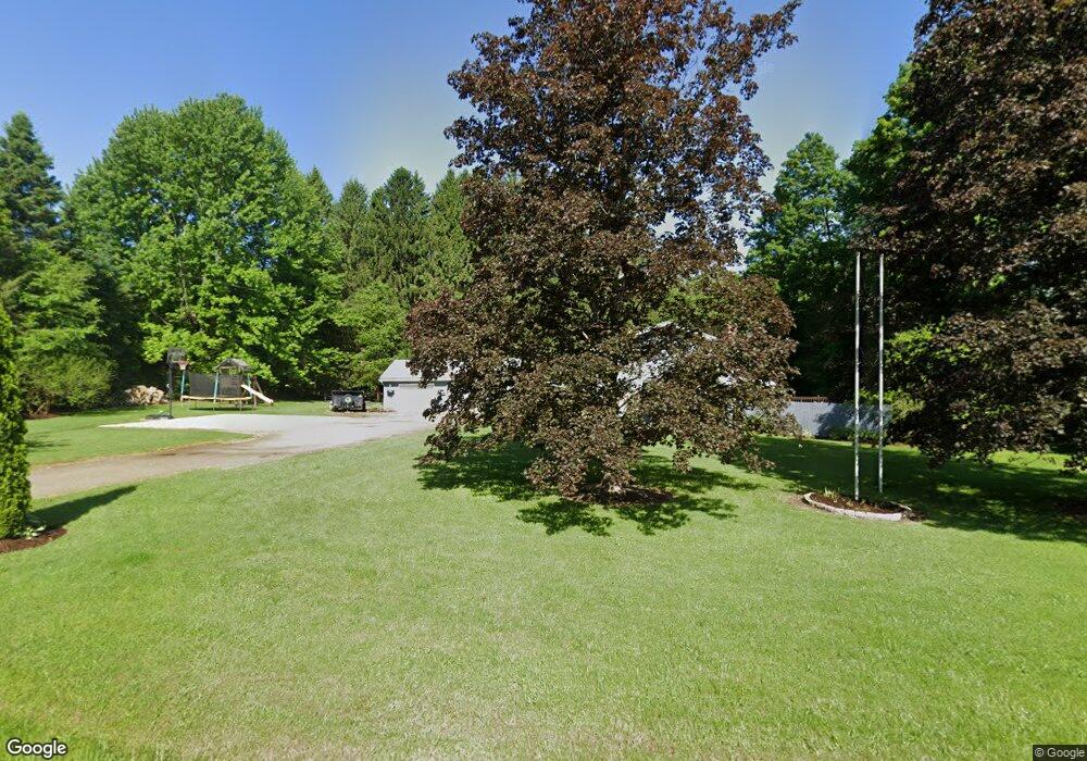
16912 Parker Rd Union City, PA 16438
Estimated Value: $138,000 - $181,000
4
Beds
2
Baths
1,344
Sq Ft
$117/Sq Ft
Est. Value
About This Home
This home is located at 16912 Parker Rd, Union City, PA 16438 and is currently estimated at $157,239, approximately $116 per square foot. 16912 Parker Rd is a home located in Erie County with nearby schools including Union City Elementary School, Union City Middle School, and Union City High School.
Ownership History
Date
Name
Owned For
Owner Type
Purchase Details
Closed on
Sep 16, 2011
Sold by
Erdle Frederick L and Erdle Mary E
Bought by
Mcnulty Adam M and Mcnulty Stephanie M
Current Estimated Value
Home Financials for this Owner
Home Financials are based on the most recent Mortgage that was taken out on this home.
Original Mortgage
$74,073
Outstanding Balance
$50,700
Interest Rate
4.25%
Mortgage Type
FHA
Estimated Equity
$106,539
Create a Home Valuation Report for This Property
The Home Valuation Report is an in-depth analysis detailing your home's value as well as a comparison with similar homes in the area
Home Values in the Area
Average Home Value in this Area
Purchase History
| Date | Buyer | Sale Price | Title Company |
|---|---|---|---|
| Mcnulty Adam M | $76,000 | None Available |
Source: Public Records
Mortgage History
| Date | Status | Borrower | Loan Amount |
|---|---|---|---|
| Open | Mcnulty Adam M | $74,073 |
Source: Public Records
Tax History Compared to Growth
Tax History
| Year | Tax Paid | Tax Assessment Tax Assessment Total Assessment is a certain percentage of the fair market value that is determined by local assessors to be the total taxable value of land and additions on the property. | Land | Improvement |
|---|---|---|---|---|
| 2025 | $1,396 | $66,540 | $22,200 | $44,340 |
| 2024 | $1,363 | $66,540 | $22,200 | $44,340 |
| 2023 | $1,277 | $66,540 | $22,200 | $44,340 |
| 2022 | $1,243 | $66,540 | $22,200 | $44,340 |
| 2021 | $1,262 | $66,540 | $22,200 | $44,340 |
| 2020 | $1,219 | $66,540 | $22,200 | $44,340 |
| 2019 | $1,193 | $66,540 | $22,200 | $44,340 |
| 2018 | $1,182 | $66,540 | $22,200 | $44,340 |
| 2017 | $1,156 | $66,540 | $22,200 | $44,340 |
| 2016 | $1,210 | $66,540 | $22,200 | $44,340 |
| 2015 | $1,193 | $66,540 | $22,200 | $44,340 |
| 2014 | $723 | $66,540 | $22,200 | $44,340 |
Source: Public Records
Map
Nearby Homes
- 139 S Main St
- 23 Center St
- 108 S Main St
- 92 S Main St
- Lot 1 Dobbs Rd
- LOT 4 Danner Dr & Lot 15 Linda Ln
- LOT 3 Danner Dr & Lot 14 Linda Ln
- LOT 1 Danner Dr & Lot 12 Linda Ln
- LOT 2 & 13 Danner Dr & Linda Ln
- 15900 Wattsburg-Union Rd
- 26215 Shreve Ridge Rd
- Lot 614 637 638 Weed Rd
- Lot 614, 637, & 638 Weed Rd
- 35979 Birch Ave
- 24530 Sandburg Dr
- 11111 Nash Hill Rd
- 10500 U S 6
- 11320 Nash Hill Rd
- 36264 Taylor Ave
- 11097 Route 6
- 16958 Parker Rd
- 16906 Parker Rd
- 16941 Parker Rd
- 16883 Parker Rd
- 16795 Route 8
- 17007 Parker Rd
- 16823 Route 8
- 16855 Route 8
- 16782 Route 8
- 16890 Route 8
- 16744 Route 8
- 16723 Route 8
- 16728 Route 8
- 16908 Route 8
- 16930 Pennsylvania 8
- 16930 Route 8
- 16960 Route 8
- 16790 Lincolnville Rd
- 16625 Route 8
- 16611 Route 8