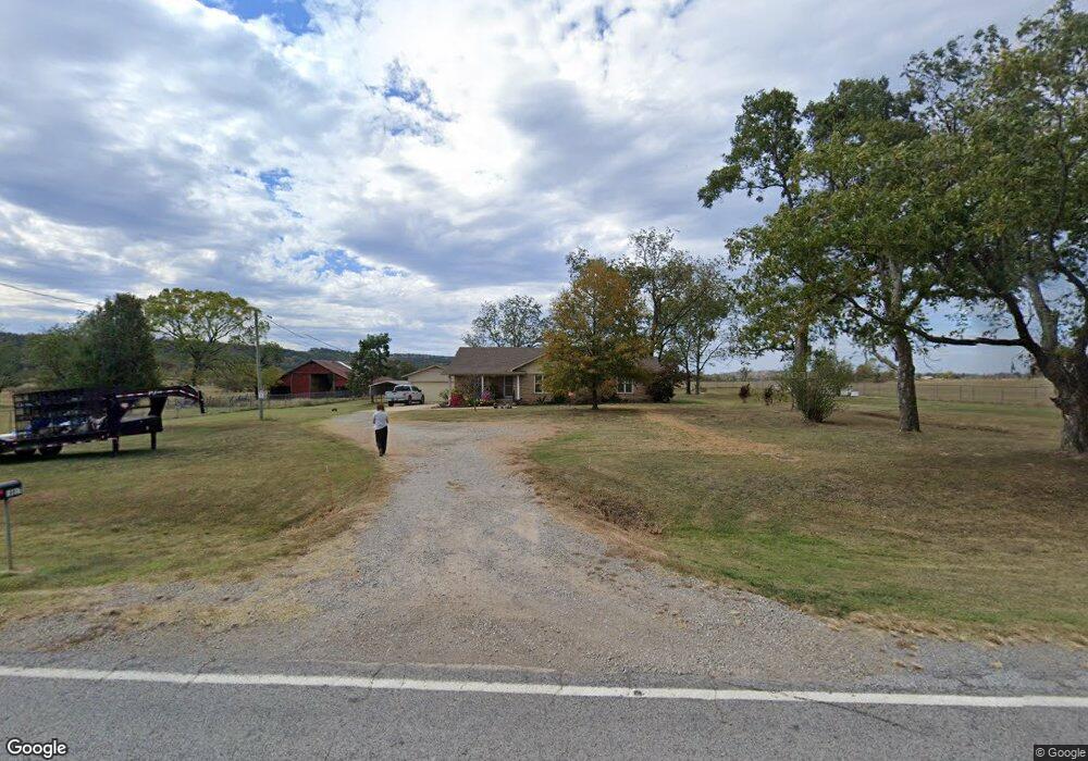
16917 N State Highway 109 Subiaco, AR 72865
Estimated Value: $169,793 - $261,000
--
Bed
1
Bath
1,986
Sq Ft
$113/Sq Ft
Est. Value
About This Home
This home is located at 16917 N State Highway 109, Subiaco, AR 72865 and is currently estimated at $224,698, approximately $113 per square foot. 16917 N State Highway 109 is a home located in Logan County with nearby schools including Scranton Elementary School and Scranton High School.
Ownership History
Date
Name
Owned For
Owner Type
Purchase Details
Closed on
Oct 30, 2008
Bought by
Mcclure Stephen P and Mcclure Marjorie E
Current Estimated Value
Purchase Details
Closed on
May 25, 2007
Bought by
Schwartz Harold/Dorothy Liv Tr
Purchase Details
Closed on
Oct 25, 2005
Bought by
Heirs Bypass Tr
Purchase Details
Closed on
Sep 28, 1998
Bought by
Schwartz Trust
Create a Home Valuation Report for This Property
The Home Valuation Report is an in-depth analysis detailing your home's value as well as a comparison with similar homes in the area
Home Values in the Area
Average Home Value in this Area
Purchase History
| Date | Buyer | Sale Price | Title Company |
|---|---|---|---|
| Mcclure Stephen P | $120,000 | -- | |
| Schwartz Harold/Dorothy Liv Tr | $200,000 | -- | |
| Heirs Bypass Tr | -- | -- | |
| Schwartz Trust | -- | -- |
Source: Public Records
Tax History Compared to Growth
Tax History
| Year | Tax Paid | Tax Assessment Tax Assessment Total Assessment is a certain percentage of the fair market value that is determined by local assessors to be the total taxable value of land and additions on the property. | Land | Improvement |
|---|---|---|---|---|
| 2024 | $599 | $23,950 | $470 | $23,480 |
| 2023 | $1,066 | $23,950 | $470 | $23,480 |
| 2022 | $647 | $23,950 | $470 | $23,480 |
| 2021 | $602 | $23,950 | $470 | $23,480 |
| 2020 | $558 | $23,950 | $470 | $23,480 |
| 2019 | $933 | $19,350 | $300 | $19,050 |
| 2018 | $538 | $19,350 | $300 | $19,050 |
| 2017 | $888 | $19,350 | $300 | $19,050 |
| 2016 | $538 | $19,350 | $300 | $19,050 |
| 2015 | -- | $18,320 | $850 | $17,470 |
| 2014 | -- | $18,320 | $850 | $17,470 |
| 2013 | -- | $18,320 | $850 | $17,470 |
Source: Public Records
Map
Nearby Homes
- 4436 E State Highway 288
- 208 11th St
- 2220 Dublin Rd
- 527 Thompson Bay Rd
- 13 Artesian Well Rd
- 457 Rodeo Arena Rd
- 0000 Dublin Rd
- 000 Dublin Rd
- 10448 E State Highway 22
- 10127 E State Highway 22
- 356 River Port Rd
- 385 Boyd Dr
- 465 Boyd Dr
- 568 Peckerwood Ln
- 1347 Patterson Bluff Rd
- 0 Vacant Land Unit 25046215
- 106 Lakeside Dr
- 114 Lakeside Dr
- 0 Arkansas 22
- na Spring Lake Rd
- 16774 N State Highway 109
- 16680 N State Highway 109
- 17204 N State Highway 109
- 16777 N State Highway 109
- 17316 N State Highway 109
- 16779 N State Highway 109
- 17394 N State Highway 109
- 269 Fox Rd
- 822 Parks Rd
- 822 Parks Rd
- 460 Fox Rd
- 17511 N State Highway 109
- 17522 N State Highway 109
- 890 Parks Rd
- 876 Parks Rd
- 628 Parks Rd
- 898 Parks Rd
- 631 Spicer Rd
- 543 Parks Rd
- 648 Fox Rd