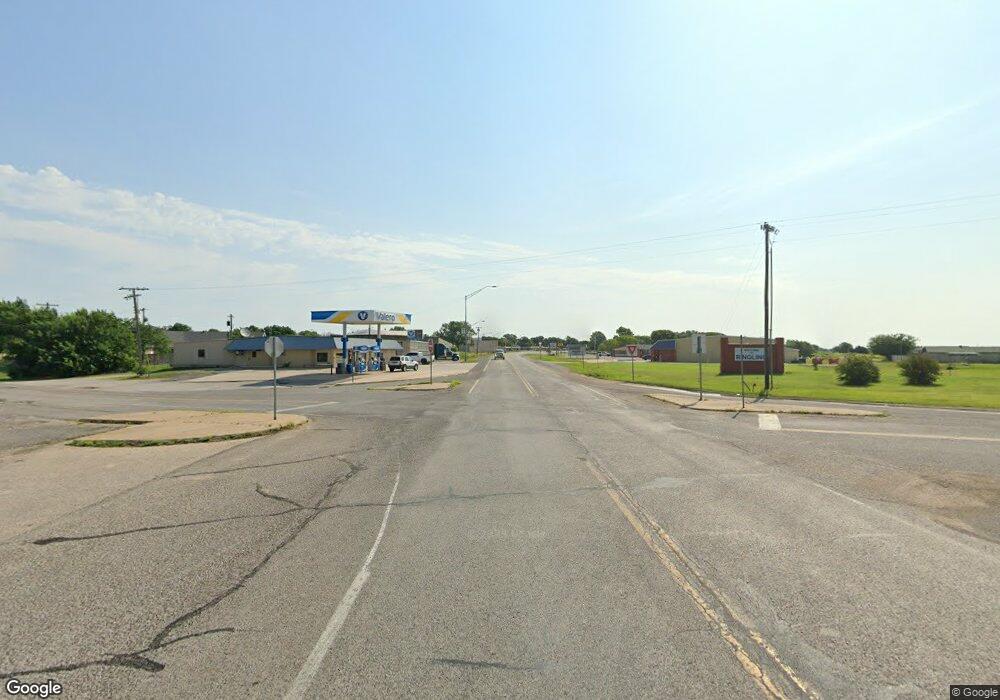
16918 Hwy 70 Lone Grove, OK 73443
Estimated Value: $325,637
--
Bed
2
Baths
3,040
Sq Ft
$107/Sq Ft
Est. Value
About This Home
This home is located at 16918 Hwy 70, Lone Grove, OK 73443 and is currently estimated at $325,637, approximately $107 per square foot. 16918 Hwy 70 is a home located in Carter County with nearby schools including Lone Grove Primary School, Lone Grove Intermediate School, and Lone Grove Middle School.
Ownership History
Date
Name
Owned For
Owner Type
Purchase Details
Closed on
Sep 15, 2025
Sold by
City Of Lone Grove
Bought by
Richardson Kerry S
Current Estimated Value
Purchase Details
Closed on
Mar 29, 2023
Sold by
Kerley Hollis
Bought by
Himani Inc
Purchase Details
Closed on
Mar 28, 2023
Sold by
Wells Steven J and Wells Penelope J
Bought by
Himani Inc
Purchase Details
Closed on
Feb 23, 2004
Sold by
Wells Steven J and Wells Penelo
Bought by
Crawford Max and Crawford Mayla
Create a Home Valuation Report for This Property
The Home Valuation Report is an in-depth analysis detailing your home's value as well as a comparison with similar homes in the area
Home Values in the Area
Average Home Value in this Area
Purchase History
| Date | Buyer | Sale Price | Title Company |
|---|---|---|---|
| Richardson Kerry S | -- | None Listed On Document | |
| Himani Inc | -- | -- | |
| Himani Inc | -- | -- | |
| Himani Inc | $300,000 | Stewart Title | |
| Crawford Max | -- | -- |
Source: Public Records
Tax History Compared to Growth
Tax History
| Year | Tax Paid | Tax Assessment Tax Assessment Total Assessment is a certain percentage of the fair market value that is determined by local assessors to be the total taxable value of land and additions on the property. | Land | Improvement |
|---|---|---|---|---|
| 2024 | $3,778 | $36,000 | $8,154 | $27,846 |
| 2023 | $1,449 | $13,815 | $6,721 | $7,094 |
| 2022 | $1,362 | $13,157 | $6,146 | $7,011 |
| 2021 | $1,304 | $12,530 | $5,598 | $6,932 |
| 2020 | $1,235 | $11,934 | $5,077 | $6,857 |
| 2019 | $1,175 | $11,365 | $6,093 | $5,272 |
| 2018 | $1,130 | $10,824 | $4,077 | $6,747 |
| 2017 | $1,078 | $10,369 | $4,077 | $6,292 |
| 2016 | $1,076 | $10,377 | $4,077 | $6,300 |
| 2015 | $1,217 | $10,581 | $1,427 | $9,154 |
| 2014 | $1,237 | $10,750 | $1,427 | $9,323 |
Source: Public Records
Map
Nearby Homes
- 0 State Highway 70
- 230 Birch St
- 201 Church St
- 0 Evergreen St
- 1320 Evergreen St
- 656 Evergreen St
- 318 Wisteria St
- 0 Conoco Rd Unit 2506021
- 185 Laurel St
- 86 Wisteria St
- 298 Evergreen St
- 17899 Us Highway 70
- 0 Callahan Rd
- 0 Tanglewood Ct Unit 2529002
- 61 Tanglewood Ct
- 29 Callahan Rd
- 4480 Memorial Rd
- 6892 Meridian Rd
- 0 Kelly Ln
- 9663 Myall
- 16918 Us Highway 70
- 34 Broadway St Unit 96
- 16864 Kentucky 70
- 71 Gooseberry St
- 109 Blackberry St
- 99 Gooseberry St
- 205 Gooseberry St
- 104 Broadway St
- 111 Gooseberry St
- 96 Gooseberry St
- 266 Birch St
- 111 Broadway St
- 112 Gooseberry St
- 107 Orchard St
- Lot 17 Galaxy
- Lot 16 Galaxy
- Lot 13 Galaxy
- Lot 15 Galaxy
- Lot 14 Galaxy
- 2204 Newport Rd