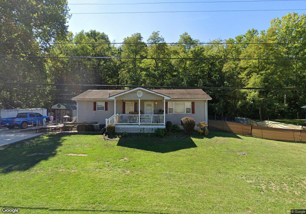
16920 State Route 550 Marietta, OH 45750
Estimated Value: $161,000 - $201,000
3
Beds
1
Bath
1,056
Sq Ft
$172/Sq Ft
Est. Value
About This Home
This home is located at 16920 State Route 550, Marietta, OH 45750 and is currently estimated at $181,862, approximately $172 per square foot. 16920 State Route 550 is a home located in Washington County with nearby schools including Warren High School.
Ownership History
Date
Name
Owned For
Owner Type
Purchase Details
Closed on
May 31, 2024
Sold by
Carson Jeanne and Wilson Kristy
Bought by
Houk Branda and Houk Brenda
Current Estimated Value
Purchase Details
Closed on
Feb 21, 2006
Sold by
Kern Donald E and Kern Donna J
Bought by
Swanson Charles R and Swanson Betty J
Purchase Details
Closed on
Jan 7, 1998
Bought by
Edgell Joanna
Purchase Details
Closed on
Sep 6, 1994
Purchase Details
Closed on
Apr 27, 1988
Bought by
Edwards Daniel P and Edwards Melis
Create a Home Valuation Report for This Property
The Home Valuation Report is an in-depth analysis detailing your home's value as well as a comparison with similar homes in the area
Home Values in the Area
Average Home Value in this Area
Purchase History
| Date | Buyer | Sale Price | Title Company |
|---|---|---|---|
| Houk Branda | -- | None Listed On Document | |
| Swanson Charles R | $90,000 | None Available | |
| Edgell Joanna | -- | -- | |
| -- | $11,300 | -- | |
| Edwards Daniel P | -- | -- |
Source: Public Records
Tax History Compared to Growth
Tax History
| Year | Tax Paid | Tax Assessment Tax Assessment Total Assessment is a certain percentage of the fair market value that is determined by local assessors to be the total taxable value of land and additions on the property. | Land | Improvement |
|---|---|---|---|---|
| 2024 | $1,135 | $39,700 | $8,040 | $31,660 |
| 2023 | $1,135 | $39,700 | $8,040 | $31,660 |
| 2022 | $1,174 | $39,700 | $8,040 | $31,660 |
| 2021 | $814 | $29,290 | $5,460 | $23,830 |
| 2020 | $808 | $29,290 | $5,460 | $23,830 |
| 2019 | $802 | $29,290 | $5,460 | $23,830 |
| 2018 | $708 | $26,320 | $4,750 | $21,570 |
| 2017 | $704 | $26,320 | $4,750 | $21,570 |
| 2016 | $1,340 | $26,320 | $4,750 | $21,570 |
| 2015 | $542 | $23,750 | $4,890 | $18,860 |
| 2014 | $1,222 | $23,750 | $4,890 | $18,860 |
| 2013 | $501 | $23,750 | $4,890 | $18,860 |
Source: Public Records
Map
Nearby Homes
- 2021 Robinson Hill Rd
- 254 Riggenbach Hill Rd
- 65 High Point Dr
- 203 57th St
- 0 River Rd Unit Lot WP001
- 302 57th St
- 411 58th St
- 53 Central Dr
- 407 56th St
- 5607 Grand Central Ave
- 5505 6th Ave
- 375 Belavista Dr
- 20645 Ohio 676
- 188 Greenbrier Ave
- 604 51st St
- 116 Pineview Dr
- 100 Pineview Dr
- 1200 55th St
- 0 Orange Dr
- 0 Fisher Ridge Rd Tract 8
- 16920 Ohio 550
- 16890 State Route 550
- 16950 State Route 550
- 16970 Ohio 550
- 16970 State Route 550
- 16860 State Route 550
- 16690 State Route 550
- 16840 State Route 550
- 17010 State Route 550
- 17020 State Route 550
- 17043 State Route 550
- 17043 Ohio 550
- 17040 State Route 550
- 16770 Oh 550
- 16770 State Route 550
- 17068 State Route 550
- 32 Warren Heights Dr
- 101 Warren Heights Dr
- 16750 State Route 550
- 17047 Warren Heights Dr