16925 W 780 Rd Tahlequah, OK 74464
Estimated Value: $373,000 - $672,074
4
Beds
2
Baths
5,238
Sq Ft
$94/Sq Ft
Est. Value
About This Home
This home is located at 16925 W 780 Rd, Tahlequah, OK 74464 and is currently estimated at $494,019, approximately $94 per square foot. 16925 W 780 Rd is a home located in Cherokee County with nearby schools including Heritage Elementary School, Tahlequah Middle School, and Tahlequah High School.
Ownership History
Date
Name
Owned For
Owner Type
Purchase Details
Closed on
Nov 14, 2007
Sold by
Demoss Rick and Demoss Kim
Bought by
Grant Kelly and Grant Jan
Current Estimated Value
Home Financials for this Owner
Home Financials are based on the most recent Mortgage that was taken out on this home.
Original Mortgage
$180,000
Outstanding Balance
$113,370
Interest Rate
6.38%
Mortgage Type
New Conventional
Estimated Equity
$380,649
Purchase Details
Closed on
Jan 20, 2000
Sold by
James and Brenda Gabbard
Bought by
Rick and Kim Demoss
Create a Home Valuation Report for This Property
The Home Valuation Report is an in-depth analysis detailing your home's value as well as a comparison with similar homes in the area
Home Values in the Area
Average Home Value in this Area
Purchase History
| Date | Buyer | Sale Price | Title Company |
|---|---|---|---|
| Grant Kelly | $225,000 | Scott Title Escrow Company I | |
| Rick | $120,000 | -- |
Source: Public Records
Mortgage History
| Date | Status | Borrower | Loan Amount |
|---|---|---|---|
| Open | Grant Kelly | $180,000 |
Source: Public Records
Tax History Compared to Growth
Tax History
| Year | Tax Paid | Tax Assessment Tax Assessment Total Assessment is a certain percentage of the fair market value that is determined by local assessors to be the total taxable value of land and additions on the property. | Land | Improvement |
|---|---|---|---|---|
| 2025 | $1,633 | $18,784 | $206 | $18,578 |
| 2024 | $1,633 | $18,237 | $200 | $18,037 |
| 2023 | $1,633 | $17,706 | $184 | $17,522 |
| 2022 | $1,502 | $17,190 | $184 | $17,006 |
| 2021 | $1,554 | $16,690 | $184 | $16,506 |
| 2020 | $1,536 | $16,204 | $184 | $16,020 |
| 2019 | $1,478 | $15,732 | $184 | $15,548 |
| 2018 | $1,452 | $15,273 | $184 | $15,089 |
| 2017 | $1,407 | $14,829 | $184 | $14,645 |
| 2016 | $1,374 | $14,397 | $184 | $14,213 |
| 2015 | $1,316 | $13,977 | $184 | $13,793 |
| 2014 | $1,316 | $13,977 | $184 | $13,793 |
Source: Public Records
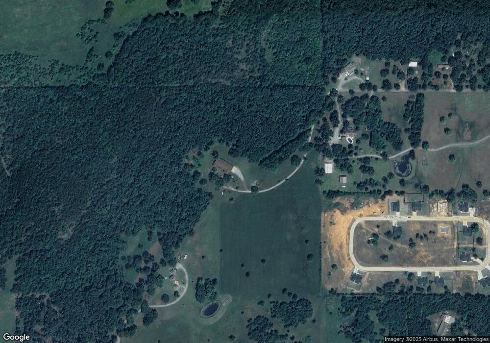
Map
Nearby Homes
- 16605 W Sierra Cir
- 16840 W Sierra Cir
- 21060 S 496 Rd
- 16809 W 790 Rd
- 1871 Stickross Mountain Rd
- 21098 S 495 Rd
- 21039 S Highway View Dr
- 21149 S Highway View Dr
- 562 W Willis Rd
- 828 Ridgeview Dr
- 811 Winsor Place
- 761 Winsor Place
- 777 Winsor Place
- 810 Winsor Place
- 831 Winsor Place
- 770 Winsor Place
- 791 Winsor Place
- 792 Winsor Place
- 824 Winsor Place
- 825 Ridgeview Dr
- 16902 W 780 Rd
- 16802 W 780 Rd
- 20496 S 494 Rd
- 16934 W 780 Rd
- 20435 Stick Ross Mountain Rd
- 20435 Stickross Mountain
- 16970 W 780 Rd
- 20435 Stickross Mountain Rd
- 18880 W Sierra Cir
- 20397 Stick Ross Mountain Rd
- 20472 S 494 Rd
- 20515 Stick Ross Mountain Rd
- 20515 Stickross Mountain Rd
- 20332 Stick Ross Mountain Rd
- 20497 S Timber Trail
- 20278 Stick Ross Mountain Rd
- 20374 Stick Ross Mountain Rd
- 20286 Stick Ross Mountain Rd
- 20521 S Timber Trail