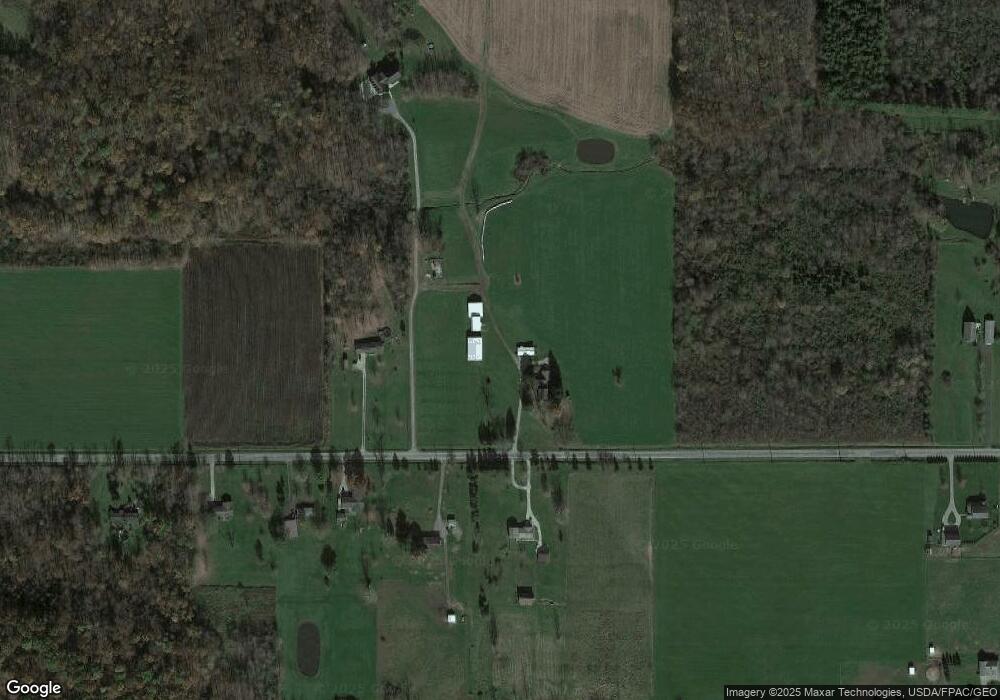
16928 Huntley Rd Huntsburg, OH 44046
Estimated Value: $583,000
3
Beds
3
Baths
2,180
Sq Ft
$267/Sq Ft
Est. Value
About This Home
This home is located at 16928 Huntley Rd, Huntsburg, OH 44046 and is currently estimated at $583,000, approximately $267 per square foot. 16928 Huntley Rd is a home located in Geauga County with nearby schools including Jordak Elementary School, Cardinal Middle School, and Cardinal High School.
Ownership History
Date
Name
Owned For
Owner Type
Purchase Details
Closed on
Mar 19, 2004
Sold by
Baker Dale R and Baker Barbara R
Bought by
Baker Kyle W
Current Estimated Value
Purchase Details
Closed on
Jan 14, 2000
Sold by
Betker John K
Bought by
Baker Dale R and Baker Barbara R
Home Financials for this Owner
Home Financials are based on the most recent Mortgage that was taken out on this home.
Original Mortgage
$132,000
Interest Rate
8.08%
Mortgage Type
Purchase Money Mortgage
Purchase Details
Closed on
Jan 1, 1990
Bought by
Baker Dale R
Create a Home Valuation Report for This Property
The Home Valuation Report is an in-depth analysis detailing your home's value as well as a comparison with similar homes in the area
Home Values in the Area
Average Home Value in this Area
Purchase History
| Date | Buyer | Sale Price | Title Company |
|---|---|---|---|
| Baker Kyle W | -- | -- | |
| Baker Dale R | $83,000 | Midland Title Security Inc | |
| Baker Dale R | -- | -- |
Source: Public Records
Mortgage History
| Date | Status | Borrower | Loan Amount |
|---|---|---|---|
| Previous Owner | Baker Dale R | $132,000 |
Source: Public Records
Tax History Compared to Growth
Tax History
| Year | Tax Paid | Tax Assessment Tax Assessment Total Assessment is a certain percentage of the fair market value that is determined by local assessors to be the total taxable value of land and additions on the property. | Land | Improvement |
|---|---|---|---|---|
| 2024 | $4,684 | $163,830 | $71,290 | $92,540 |
| 2023 | $4,684 | $163,840 | $71,300 | $92,540 |
| 2022 | $3,417 | $124,010 | $59,400 | $64,610 |
| 2021 | $3,197 | $124,010 | $59,400 | $64,610 |
| 2020 | $3,305 | $124,010 | $59,400 | $64,610 |
| 2019 | $3,532 | $114,630 | $59,400 | $55,230 |
| 2018 | $3,531 | $114,630 | $59,400 | $55,230 |
| 2017 | $3,532 | $114,630 | $59,400 | $55,230 |
| 2016 | $3,031 | $96,990 | $55,790 | $41,200 |
| 2015 | $2,874 | $96,990 | $55,790 | $41,200 |
| 2014 | $2,874 | $96,990 | $55,790 | $41,200 |
| 2013 | $2,493 | $96,990 | $55,790 | $41,200 |
Source: Public Records
Map
Nearby Homes
- 12175 Hunt Rd
- 12342 Madison Rd
- 16270 Mayfield Rd
- 16080 Chardon Windsor Rd
- 11470 Clay St
- VL Clay St
- 10714 Plank Rd
- 15575 Stillwell Rd
- 13105 Madison Rd
- 10525 Clay St
- 6563 Hyde Rd
- 15720 Us Highway 6
- 14686 Mayfield Rd
- 5834 U S 322
- 9769 Clay St
- 13137 Old State Rd
- 5723 Stoneville Rd
- 11976 Old State Rd
- 13689 Old State Rd
- 9368 Madison Rd
- 16873 Huntley Rd
- 16929 Huntley Rd
- 16899 Huntley Rd
- 16888 Huntley Rd
- 16821 Huntley Rd
- 16799 Huntley Rd
- 17050 Huntley Rd
- 17055 Huntley Rd
- 11850 Hunt Rd
- 11830 Hunt Rd
- SL 67 Hunt Rd
- 12185 Hunt Rd
- 11960 Hunt Rd
- 11901 Hunt Rd
- 11745 Hunt Rd
- 11965 Hunt Rd
- 12026 Hunt Rd
- 17185 Huntley Rd
- 11671 Hunt Rd
- 11995 Hunt Rd
