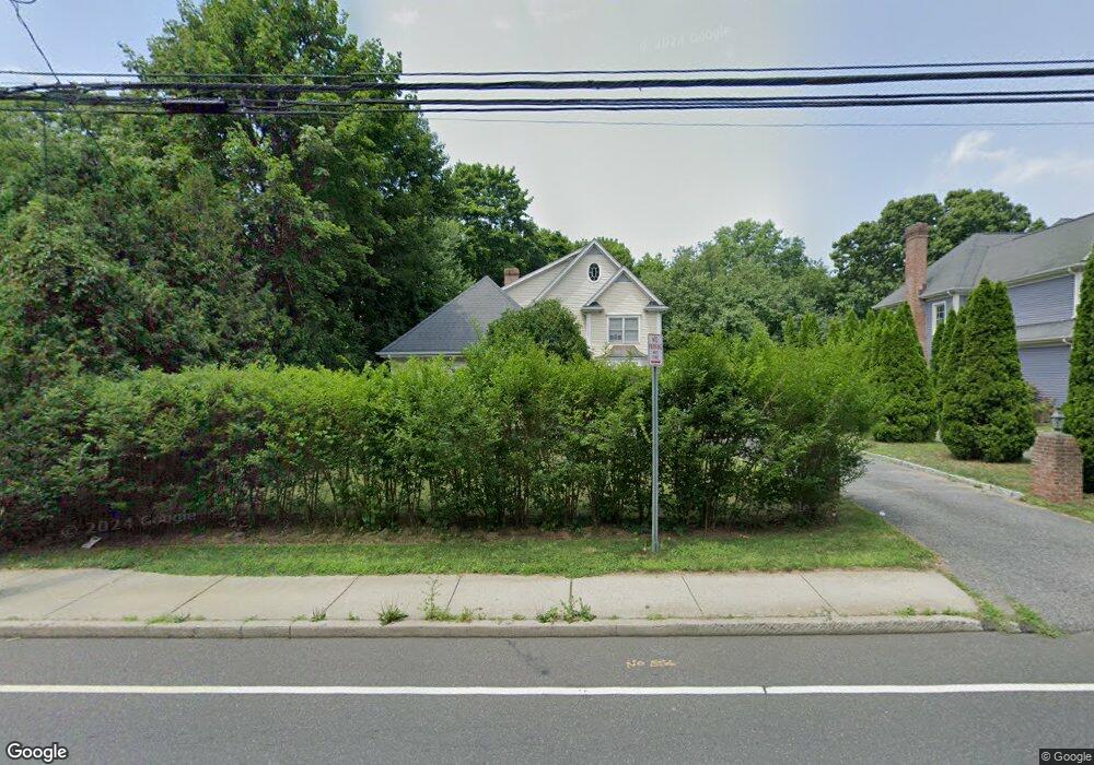
1693 Post Rd Darien, CT 06820
Estimated Value: $1,898,000 - $2,233,000
4
Beds
3
Baths
3,468
Sq Ft
$606/Sq Ft
Est. Value
About This Home
This home is located at 1693 Post Rd, Darien, CT 06820 and is currently estimated at $2,100,845, approximately $605 per square foot. 1693 Post Rd is a home located in Fairfield County with nearby schools including Hindley Elementary School, Middlesex Middle School, and Darien High School.
Ownership History
Date
Name
Owned For
Owner Type
Purchase Details
Closed on
Apr 20, 2004
Sold by
Munson Properties Llc
Bought by
Yu Hui Lan
Current Estimated Value
Home Financials for this Owner
Home Financials are based on the most recent Mortgage that was taken out on this home.
Original Mortgage
$744,000
Interest Rate
4.75%
Purchase Details
Closed on
Aug 6, 2001
Sold by
Dedda Luca F Est
Bought by
Munson Prop Llc
Create a Home Valuation Report for This Property
The Home Valuation Report is an in-depth analysis detailing your home's value as well as a comparison with similar homes in the area
Home Values in the Area
Average Home Value in this Area
Purchase History
| Date | Buyer | Sale Price | Title Company |
|---|---|---|---|
| Yu Hui Lan | $930,000 | -- | |
| Munson Prop Llc | $175,000 | -- |
Source: Public Records
Mortgage History
| Date | Status | Borrower | Loan Amount |
|---|---|---|---|
| Closed | Munson Prop Llc | $280,000 | |
| Closed | Munson Prop Llc | $480,000 | |
| Closed | Munson Prop Llc | $744,000 |
Source: Public Records
Tax History
| Year | Tax Paid | Tax Assessment Tax Assessment Total Assessment is a certain percentage of the fair market value that is determined by local assessors to be the total taxable value of land and additions on the property. | Land | Improvement |
|---|---|---|---|---|
| 2025 | $18,291 | $1,181,600 | $444,220 | $737,380 |
| 2024 | $17,358 | $1,181,600 | $444,220 | $737,380 |
| 2023 | $16,661 | $946,120 | $317,310 | $628,810 |
| 2022 | $16,302 | $946,120 | $317,310 | $628,810 |
| 2021 | $15,933 | $946,120 | $317,310 | $628,810 |
| 2020 | $5,138 | $946,120 | $317,310 | $628,810 |
| 2019 | $15,583 | $946,120 | $317,310 | $628,810 |
| 2018 | $11,172 | $908,880 | $297,220 | $611,660 |
| 2017 | $5,090 | $908,880 | $297,220 | $611,660 |
| 2016 | $14,333 | $908,880 | $297,220 | $611,660 |
| 2015 | $13,951 | $908,880 | $297,220 | $611,660 |
| 2014 | $13,642 | $908,880 | $297,220 | $611,660 |
Source: Public Records
Map
Nearby Homes
- 32 Relihan Rd
- 18 Pasture Ln
- 3 Salt Box Ln E
- 77 Maple St
- 20 Outlook Dr
- 23 Beach Dr
- 66 Stanton Rd
- 12 Walmsley Rd
- 20 Locust Hill Rd
- 166 Hollow Tree Ridge Rd
- 5 Shields Ln
- 167 Hollow Tree Ridge Rd
- 10 Stony Brook Rd
- 2 Settlers Trail Unit 2
- 18 Winding Ln
- 223 Middlesex Rd
- 15 Charles St
- 3 Revere Rd
- 25 Lakeside Ave
- 10 Cross Rd
- 1695 Post Rd
- 1689 Post Rd
- 1707 Boston Post Rd
- 1707 Post Rd
- 31 Crimmins Rd
- 1691 Post Rd
- 27 Crimmins Rd
- 1687 Boston Post Rd
- 1687 Post Rd
- 25 Renshaw Rd
- 1 Clubhouse Cir
- 23 Crimmins Rd
- 1685 Post Rd
- 1741 Post Rd
- 1741 Boston Post Rd
- 2 Clubhouse Cir
- 1685 Boston Post Rd
- 1714 Boston Post Rd
- 19 Renshaw Rd
- 1714 Post Rd
Your Personal Tour Guide
Ask me questions while you tour the home.