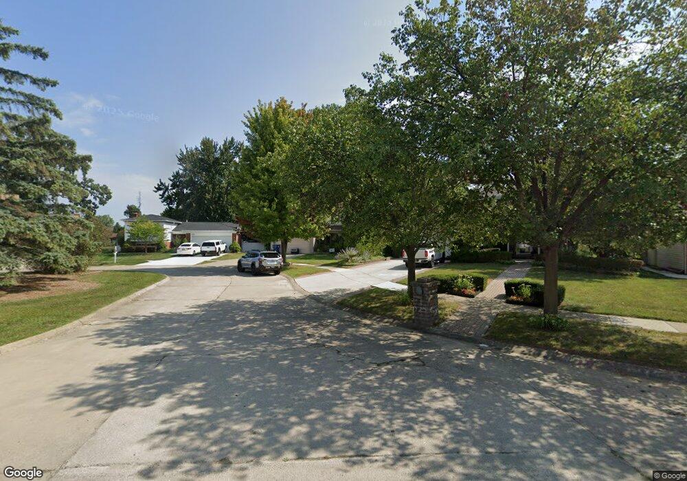
1693 Walnut Ridge Cir Canton, MI 48187
Estimated Value: $363,220 - $392,000
--
Bed
2
Baths
1,737
Sq Ft
$218/Sq Ft
Est. Value
About This Home
This home is located at 1693 Walnut Ridge Cir, Canton, MI 48187 and is currently estimated at $377,805, approximately $217 per square foot. 1693 Walnut Ridge Cir is a home located in Wayne County with nearby schools including Canton High School, Discovery Middle School, and Salem High School.
Ownership History
Date
Name
Owned For
Owner Type
Purchase Details
Closed on
Dec 11, 2007
Sold by
Rbs Citizens Na
Bought by
Pearson Nelson
Current Estimated Value
Purchase Details
Closed on
Nov 22, 2006
Sold by
Tillie Michael R and Tilli Jill
Bought by
Charter One Bank Na
Purchase Details
Closed on
Sep 27, 2006
Sold by
Tilli Michael R and Tilli Jill
Bought by
Tilli Jill
Purchase Details
Closed on
Mar 10, 2003
Sold by
Fraser Donald B and Fraser Janet
Bought by
Tilli Michael R
Purchase Details
Closed on
May 26, 1994
Sold by
Petrullo Robert A
Bought by
Fraser Donald B and Fraser Janet
Home Financials for this Owner
Home Financials are based on the most recent Mortgage that was taken out on this home.
Original Mortgage
$76,000
Interest Rate
8.66%
Mortgage Type
New Conventional
Create a Home Valuation Report for This Property
The Home Valuation Report is an in-depth analysis detailing your home's value as well as a comparison with similar homes in the area
Home Values in the Area
Average Home Value in this Area
Purchase History
| Date | Buyer | Sale Price | Title Company |
|---|---|---|---|
| Pearson Nelson | -- | Multiple | |
| Charter One Bank Na | $196,480 | None Available | |
| Tilli Jill | -- | None Available | |
| Tilli Michael R | $228,000 | First American Title Ins Co | |
| Fraser Donald B | $126,000 | -- |
Source: Public Records
Mortgage History
| Date | Status | Borrower | Loan Amount |
|---|---|---|---|
| Previous Owner | Fraser Donald B | $76,000 |
Source: Public Records
Tax History Compared to Growth
Tax History
| Year | Tax Paid | Tax Assessment Tax Assessment Total Assessment is a certain percentage of the fair market value that is determined by local assessors to be the total taxable value of land and additions on the property. | Land | Improvement |
|---|---|---|---|---|
| 2025 | $1,736 | $158,200 | $0 | $0 |
| 2024 | $1,736 | $146,700 | $0 | $0 |
| 2023 | $1,655 | $140,800 | $0 | $0 |
| 2022 | $3,666 | $120,900 | $0 | $0 |
| 2021 | $4,626 | $115,600 | $0 | $0 |
| 2020 | $4,156 | $115,200 | $0 | $0 |
| 2019 | $3,446 | $105,500 | $0 | $0 |
| 2018 | $1,407 | $104,240 | $0 | $0 |
| 2017 | $3,546 | $98,800 | $0 | $0 |
| 2016 | $3,136 | $98,300 | $0 | $0 |
| 2015 | $7,730 | $90,790 | $0 | $0 |
| 2013 | $7,489 | $82,110 | $0 | $0 |
| 2010 | -- | $77,970 | $39,965 | $38,005 |
Source: Public Records
Map
Nearby Homes
- 41715 Bedford Dr
- 41708 Bedford Dr
- 41512 Bedford Dr
- 829 Glenulline Dr
- 42075 Gloria Dr
- 42479 Redfern St
- 572 Shana St
- 42473 Lilley Pointe Dr Unit 39
- 42481 Lilley Pointe Dr Unit 33
- 42540 Lilley Pointe Dr
- 41878 Ravenwood St
- 42771 Lilley Pointe Dr Unit 154
- 42789 Lilley Pointe Dr Unit 146
- 1494 Ranier Blvd
- 41490 Hanford Rd
- 43051 Fernwood St
- 5887 Northford
- 0 Ford Rd Unit 20240020273
- 7125 N Lilley Rd
- 1322 Saltz Ct
- 1701 Walnut Ridge Cir
- 1685 Walnut Ridge Cir
- 1707 Walnut Ridge Cir
- 1677 Walnut Ridge Cir
- 41772 Glade Rd Unit 41
- 41844 Glade Rd
- 41844 Glade Rd Unit 46
- 41808 Glade Rd Unit 44
- 1669 Walnut Ridge Cir
- 1713 Walnut Ridge Cir
- 42011 Addison Ave
- 41796 Glade Rd Unit 43
- 42010 Fairview Dr
- 1661 Walnut Ridge Cir
- 41856 Glade Rd
- 1710 Walnut Ridge Cir
- 1719 Walnut Ridge Cir
- 41868 Glade Rd
- 41832 Glade Rd
- 1680 Walnut Ridge Cir