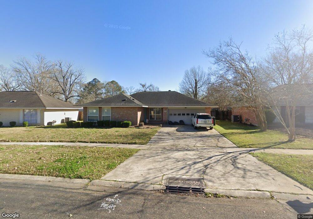
16932 Dahlgren Ave Baton Rouge, LA 70817
Shenandoah NeighborhoodEstimated Value: $236,527 - $273,000
--
Bed
--
Bath
2,028
Sq Ft
$125/Sq Ft
Est. Value
About This Home
This home is located at 16932 Dahlgren Ave, Baton Rouge, LA 70817 and is currently estimated at $254,132, approximately $125 per square foot. 16932 Dahlgren Ave is a home located in East Baton Rouge Parish with nearby schools including Shenandoah Elementary School, Woodlawn Middle School, and Woodlawn High School.
Ownership History
Date
Name
Owned For
Owner Type
Purchase Details
Closed on
Nov 13, 2017
Sold by
Zeringue Rieken John Richard and Zeringue Rieken Pamela
Bought by
Mcdonald Jackson Ronnie Gilbert and Mcdonald Jackson Darbi
Current Estimated Value
Home Financials for this Owner
Home Financials are based on the most recent Mortgage that was taken out on this home.
Original Mortgage
$175,000
Outstanding Balance
$146,564
Interest Rate
3.83%
Mortgage Type
New Conventional
Estimated Equity
$107,568
Create a Home Valuation Report for This Property
The Home Valuation Report is an in-depth analysis detailing your home's value as well as a comparison with similar homes in the area
Home Values in the Area
Average Home Value in this Area
Purchase History
| Date | Buyer | Sale Price | Title Company |
|---|---|---|---|
| Mcdonald Jackson Ronnie Gilbert | $175,000 | Delta Title Corporation |
Source: Public Records
Mortgage History
| Date | Status | Borrower | Loan Amount |
|---|---|---|---|
| Open | Mcdonald Jackson Ronnie Gilbert | $175,000 |
Source: Public Records
Tax History Compared to Growth
Tax History
| Year | Tax Paid | Tax Assessment Tax Assessment Total Assessment is a certain percentage of the fair market value that is determined by local assessors to be the total taxable value of land and additions on the property. | Land | Improvement |
|---|---|---|---|---|
| 2024 | $1,571 | $20,280 | $2,000 | $18,280 |
| 2023 | $1,571 | $20,280 | $2,000 | $18,280 |
| 2022 | $2,382 | $20,280 | $2,000 | $18,280 |
| 2021 | $2,337 | $20,280 | $2,000 | $18,280 |
| 2020 | $2,367 | $20,280 | $2,000 | $18,280 |
| 2019 | $2,137 | $17,500 | $2,000 | $15,500 |
| 2018 | $2,111 | $17,500 | $2,000 | $15,500 |
| 2017 | $2,105 | $17,450 | $2,000 | $15,450 |
| 2016 | $1,192 | $17,450 | $2,000 | $15,450 |
| 2015 | $801 | $13,950 | $2,000 | $11,950 |
| 2014 | $786 | $13,950 | $2,000 | $11,950 |
| 2013 | -- | $13,950 | $2,000 | $11,950 |
Source: Public Records
Map
Nearby Homes
- 5821 Fort Sumpter Dr
- 5534 Round Forrest Dr
- 17845 Coffee Rd
- 16825 Chadsford Ave
- 16849 Mill Grove Ln
- 16756 Merrimac Ave
- 6374 Muir St
- 16067 Chantilly Ave
- 6335 Antioch Blvd
- 16039 Haynes Bluff Ave
- 6814 Garden Hill Dr
- 6813 Garden Hill Dr
- 6819 Garden Hill Dr
- 16255 White Rose Dr
- 16025 Parkside Ct
- 6831 Garden Hill Dr
- 6246 Petersburg Dr
- 6905 Dianthus Dr
- 16211 White Rose Dr
- 6905 Garden Hill Dr
- 16922 Dahlgren Ave
- 16942 Dahlgren Ave
- 16941 General Forrest Ave
- 16952 Dahlgren Ave
- 16912 Dahlgren Ave
- 16951 General Forrest Ave
- 16931 General Forrest Ave
- 17017 General Forrest Ave
- 16931 Dahlgren Ave
- 17027 General Forrest Ave
- 16941 Dahlgren Ave
- 16840 Dahlgren Ave
- 16921 Dahlgren Ave
- 16921 General Forrest Ave
- 16911 Dahlgren Ave
- 16830 Dahlgren Ave
- 5727 Decatur Dr
- 5707 Decatur Dr
- 5737 Decatur Dr
- 5737 Decatur Dr