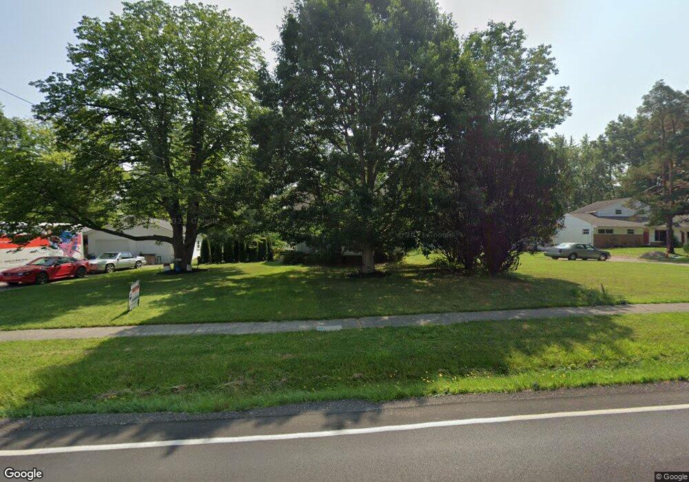
16933 Howe Rd Strongsville, OH 44136
Estimated Value: $132,807 - $281,000
2
Beds
1
Bath
702
Sq Ft
$253/Sq Ft
Est. Value
About This Home
This home is located at 16933 Howe Rd, Strongsville, OH 44136 and is currently estimated at $177,952, approximately $253 per square foot. 16933 Howe Rd is a home located in Cuyahoga County with nearby schools including Strongsville High School and Sts Joseph & John Interparochial School.
Ownership History
Date
Name
Owned For
Owner Type
Purchase Details
Closed on
Dec 12, 2022
Sold by
Denise A Jarvis Family Trust
Bought by
Terry Betts Llc
Current Estimated Value
Purchase Details
Closed on
Dec 6, 2021
Sold by
Jarvis Denise A
Bought by
Denise A Jarvis Family Trust
Purchase Details
Closed on
May 30, 2018
Sold by
Warren Marjoprie A
Bought by
Jarvis Denise
Purchase Details
Closed on
May 19, 2016
Sold by
Jarvis Denise
Bought by
Warren Marjorie A
Purchase Details
Closed on
Jan 3, 1984
Sold by
Pidgeon Edward and Pidgeon Marjorie
Bought by
Pidgeon Marjorie
Purchase Details
Closed on
Jan 1, 1975
Bought by
Pidgeon Edward and Pidgeon Marjorie
Create a Home Valuation Report for This Property
The Home Valuation Report is an in-depth analysis detailing your home's value as well as a comparison with similar homes in the area
Home Values in the Area
Average Home Value in this Area
Purchase History
| Date | Buyer | Sale Price | Title Company |
|---|---|---|---|
| Terry Betts Llc | $80,000 | Guardian Title | |
| Denise A Jarvis Family Trust | -- | Myers Richard A | |
| Jarvis Denise | -- | None Available | |
| Warren Marjorie A | -- | Attorney | |
| Pidgeon Marjorie | -- | -- | |
| Pidgeon Edward | -- | -- |
Source: Public Records
Tax History Compared to Growth
Tax History
| Year | Tax Paid | Tax Assessment Tax Assessment Total Assessment is a certain percentage of the fair market value that is determined by local assessors to be the total taxable value of land and additions on the property. | Land | Improvement |
|---|---|---|---|---|
| 2024 | $2,860 | $59,500 | $19,110 | $40,390 |
| 2023 | $2,479 | $39,590 | $18,200 | $21,390 |
| 2022 | $2,515 | $39,585 | $18,200 | $21,385 |
| 2021 | $2,497 | $39,590 | $18,200 | $21,390 |
| 2020 | $2,313 | $32,450 | $14,910 | $17,540 |
| 2019 | $2,247 | $92,700 | $42,600 | $50,100 |
| 2018 | $996 | $32,450 | $14,910 | $17,540 |
| 2017 | $1,874 | $28,250 | $13,480 | $14,770 |
| 2016 | $1,859 | $28,250 | $13,480 | $14,770 |
| 2015 | $1,249 | $28,250 | $13,480 | $14,770 |
| 2014 | $1,294 | $28,250 | $13,480 | $14,770 |
Source: Public Records
Map
Nearby Homes
- 16650 Lanier Ave
- 17130 Golden Star Dr
- 17159 Turkey Meadow Ln
- 18229 Howe Rd
- 16969 Antler Ln
- 14558 Drake Rd
- 17682 Drake Rd
- 17029 Eagles Nest Cir
- 14132 Walking Stick Way
- 17069 Partridge Dr
- 14826 Lenox Dr
- 0 Shurmer Rd Unit 5108190
- 14703 Lenox Dr Unit 103
- 18294 Drake Rd
- 16711 Beech Cir
- 18987 Laurell Cir
- 14985 Camden Cir
- 18162 Fawn Cir
- 0 Mill Hollow Ln Unit 5069608
- 18411 Yorktown Oval