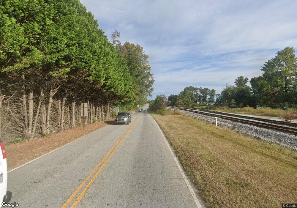
1694 Stn Mtn Lithoni Rd Lithonia, GA 30058
Estimated Value: $340,000 - $416,509
3
Beds
3
Baths
2,183
Sq Ft
$166/Sq Ft
Est. Value
About This Home
This home is located at 1694 Stn Mtn Lithoni Rd, Lithonia, GA 30058 and is currently estimated at $362,877, approximately $166 per square foot. 1694 Stn Mtn Lithoni Rd is a home located in DeKalb County with nearby schools including Shadow Rock Elementary School, Redan Middle School, and Redan High School.
Ownership History
Date
Name
Owned For
Owner Type
Purchase Details
Closed on
Feb 26, 1998
Sold by
Stn Mtn Baptist New Work Foundation Inc
Bought by
Moore Gregory and Moore Elayne D
Current Estimated Value
Home Financials for this Owner
Home Financials are based on the most recent Mortgage that was taken out on this home.
Original Mortgage
$152,000
Interest Rate
7.03%
Mortgage Type
New Conventional
Create a Home Valuation Report for This Property
The Home Valuation Report is an in-depth analysis detailing your home's value as well as a comparison with similar homes in the area
Home Values in the Area
Average Home Value in this Area
Purchase History
| Date | Buyer | Sale Price | Title Company |
|---|---|---|---|
| Moore Gregory | $151,800 | -- |
Source: Public Records
Mortgage History
| Date | Status | Borrower | Loan Amount |
|---|---|---|---|
| Previous Owner | Moore Gregory | $152,000 |
Source: Public Records
Tax History Compared to Growth
Tax History
| Year | Tax Paid | Tax Assessment Tax Assessment Total Assessment is a certain percentage of the fair market value that is determined by local assessors to be the total taxable value of land and additions on the property. | Land | Improvement |
|---|---|---|---|---|
| 2025 | $4,314 | $156,400 | $54,080 | $102,320 |
| 2024 | $4,404 | $155,480 | $54,080 | $101,400 |
| 2023 | $4,404 | $152,920 | $33,600 | $119,320 |
| 2022 | $3,041 | $98,400 | $33,456 | $64,944 |
| 2021 | $3,041 | $98,400 | $33,456 | $64,944 |
| 2020 | $2,569 | $98,400 | $33,600 | $64,800 |
| 2019 | $2,541 | $77,720 | $22,800 | $54,920 |
| 2018 | $2,078 | $68,920 | $22,800 | $46,120 |
| 2017 | $2,331 | $68,360 | $14,480 | $53,880 |
| 2016 | $2,140 | $64,520 | $13,720 | $50,800 |
| 2014 | $1,700 | $52,000 | $10,920 | $41,080 |
Source: Public Records
Map
Nearby Homes
- 1417 Doe Valley Dr
- 6453 Shadow Rock Dr
- 1670 Duren Fields Way
- 5902 Valley Green Rd
- 6274 Booker Ln
- 5934 Valley Green Rd
- 5948 Valley Green Rd
- 1667 Wellborn Rd
- 5934 S Deshon Ct
- 5743 Tunbridge Wells Rd
- 6024 S Deshon Ct
- 6019 Paul Rd
- 1397 Bentley Woods Trail
- 1760 Waterton Ln
- 1629 Phillips Rd
- 6060 Waterton Dr
- 1437 Stoneleigh Hill Rd
- 5975 Arbor Links Rd
- 1684 Stn Mtn Lithoni Rd
- 1478 Doe Valley Dr Unit 2.0
- 1478 Doe Valley Dr
- 1460 Doe Valley Dr
- 1456 Duren Farms Dr
- 6189 Redan Rd
- 6189 Redan Rd Unit OVLK
- 6189 Redan Rd Unit 6189
- 1722 Stn Mtn Lithoni Rd
- 1444 Doe Valley Dr
- 1465 Duren Farms Dr
- 1466 Duren Farms Dr
- 6173 Redan Rd
- 6173 Redan Roads
- 6244 Redan Rd
- 6244 Redan Rd Unit OVLK
- 6183 Redan Rd
- 1426 Doe Valley Dr
- 1473 Duren Farms Dr
- 6193 Redan Rd
