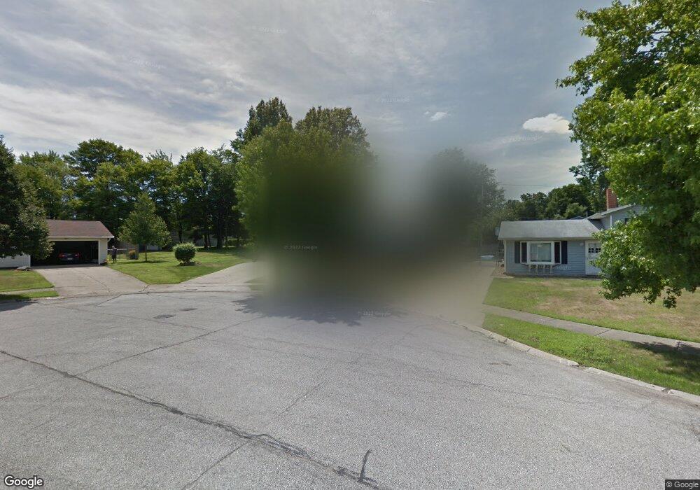
16943 Cambridge Blvd Brookpark, OH 44142
Estimated Value: $250,068 - $275,000
4
Beds
1
Bath
1,806
Sq Ft
$147/Sq Ft
Est. Value
About This Home
This home is located at 16943 Cambridge Blvd, Brookpark, OH 44142 and is currently estimated at $265,767, approximately $147 per square foot. 16943 Cambridge Blvd is a home located in Cuyahoga County with nearby schools including Berea-Midpark Middle School, Berea-Midpark High School, and The Academy of St. Bartholomew.
Ownership History
Date
Name
Owned For
Owner Type
Purchase Details
Closed on
Dec 5, 2002
Sold by
Wicks Dale N and Wicks Amy M
Bought by
Carney Robert A and Carney Ann M
Current Estimated Value
Home Financials for this Owner
Home Financials are based on the most recent Mortgage that was taken out on this home.
Original Mortgage
$78,900
Outstanding Balance
$34,232
Interest Rate
6.38%
Estimated Equity
$231,535
Purchase Details
Closed on
Jul 12, 2000
Sold by
Vedda Thomas G and Vedda Mary A
Bought by
Wicks Dale N
Home Financials for this Owner
Home Financials are based on the most recent Mortgage that was taken out on this home.
Original Mortgage
$135,500
Interest Rate
8.55%
Purchase Details
Closed on
Apr 16, 1991
Sold by
Placko Michael J
Bought by
Vedda Thomas G
Purchase Details
Closed on
Mar 2, 1978
Bought by
Placko Michael J
Purchase Details
Closed on
Jan 1, 1975
Bought by
Lipman Paul Tr
Create a Home Valuation Report for This Property
The Home Valuation Report is an in-depth analysis detailing your home's value as well as a comparison with similar homes in the area
Home Values in the Area
Average Home Value in this Area
Purchase History
| Date | Buyer | Sale Price | Title Company |
|---|---|---|---|
| Carney Robert A | $148,900 | American Title & Trust | |
| Wicks Dale N | $147,500 | -- | |
| Vedda Thomas G | $95,000 | -- | |
| Placko Michael J | $4,000 | -- | |
| Lipman Paul Tr | -- | -- |
Source: Public Records
Mortgage History
| Date | Status | Borrower | Loan Amount |
|---|---|---|---|
| Open | Carney Robert A | $78,900 | |
| Previous Owner | Wicks Dale N | $135,500 |
Source: Public Records
Tax History Compared to Growth
Tax History
| Year | Tax Paid | Tax Assessment Tax Assessment Total Assessment is a certain percentage of the fair market value that is determined by local assessors to be the total taxable value of land and additions on the property. | Land | Improvement |
|---|---|---|---|---|
| 2024 | $3,494 | $69,265 | $8,400 | $60,865 |
| 2023 | $3,561 | $58,460 | $7,530 | $50,930 |
| 2022 | $3,536 | $58,450 | $7,530 | $50,930 |
| 2021 | $3,515 | $58,450 | $7,530 | $50,930 |
| 2020 | $3,171 | $46,410 | $5,990 | $40,430 |
| 2019 | $3,076 | $132,600 | $17,100 | $115,500 |
| 2018 | $3,063 | $46,410 | $5,990 | $40,430 |
| 2017 | $3,136 | $43,890 | $10,990 | $32,900 |
| 2016 | $3,110 | $43,890 | $10,990 | $32,900 |
| 2015 | $3,073 | $43,890 | $10,990 | $32,900 |
| 2014 | $3,073 | $46,210 | $11,590 | $34,620 |
Source: Public Records
Map
Nearby Homes
- 6366 Sandhurst Dr
- 6728 Benedict Dr
- 6740 Benedict Dr
- 6755 Benedict Dr
- 16259 Emerald Point Unit 16259
- 16310 Richard Dr
- 6748 Benedict Dr
- 6720 Benedict Dr
- 6744 Benedict Dr
- 6724 Benedict Dr
- 6470 Sandfield Dr
- 16051 Holland Rd
- 18009 Kalvin Dr
- 6710 Woodruff Ct
- 6736 Columbine Ct
- 15800 Holland Rd
- 6363 Lockhaven Dr
- 15665 Holland Rd
- 16761 Orchard Grove Dr Unit 6808A
- 15446 Sheldon Rd
- 16963 Cambridge Blvd
- 16983 Cambridge Blvd
- 16923 Cambridge Blvd
- 16942 Sandhurst Dr
- 16962 Sandhurst Dr
- 16924 Cambridge Blvd
- 16922 Sandhurst Dr
- 17003 Cambridge Blvd
- 16982 Sandhurst Dr
- 16902 Sandhurst Dr
- 16964 Cambridge Blvd
- 16944 Cambridge Blvd
- 16984 Cambridge Blvd
- 17002 Sandhurst Dr
- 17023 Cambridge Blvd
- 17004 Cambridge Blvd
- 17022 Sandhurst Dr
- 17043 Cambridge Blvd
- 17024 Cambridge Blvd
- 17042 Sandhurst Dr
