1695 Deerpath Rd Franktown, CO 80116
Estimated Value: $763,882 - $884,000
3
Beds
2
Baths
3,467
Sq Ft
$236/Sq Ft
Est. Value
About This Home
This home is located at 1695 Deerpath Rd, Franktown, CO 80116 and is currently estimated at $817,471, approximately $235 per square foot. 1695 Deerpath Rd is a home located in Douglas County with nearby schools including Franktown Elementary School, Sagewood Middle School, and Ponderosa High School.
Ownership History
Date
Name
Owned For
Owner Type
Purchase Details
Closed on
Oct 7, 2016
Sold by
Phares Emily T and Phares Emily
Bought by
Harper Joshua M and Harper Stephanie A
Current Estimated Value
Home Financials for this Owner
Home Financials are based on the most recent Mortgage that was taken out on this home.
Original Mortgage
$320,000
Outstanding Balance
$254,214
Interest Rate
3.43%
Mortgage Type
New Conventional
Estimated Equity
$563,257
Purchase Details
Closed on
May 10, 1996
Sold by
Long Emily T
Bought by
Phares Emily T
Purchase Details
Closed on
Feb 15, 1996
Sold by
Long Jeffrey E
Bought by
Long Emily T
Purchase Details
Closed on
Jan 31, 1996
Sold by
Long Jeffrey E
Bought by
Long Emily T
Create a Home Valuation Report for This Property
The Home Valuation Report is an in-depth analysis detailing your home's value as well as a comparison with similar homes in the area
Purchase History
| Date | Buyer | Sale Price | Title Company |
|---|---|---|---|
| Harper Joshua M | $450,000 | None Available | |
| Phares Emily T | -- | -- | |
| Long Emily T | -- | -- | |
| Long Emily T | -- | -- |
Source: Public Records
Mortgage History
| Date | Status | Borrower | Loan Amount |
|---|---|---|---|
| Open | Harper Joshua M | $320,000 |
Source: Public Records
Tax History
| Year | Tax Paid | Tax Assessment Tax Assessment Total Assessment is a certain percentage of the fair market value that is determined by local assessors to be the total taxable value of land and additions on the property. | Land | Improvement |
|---|---|---|---|---|
| 2025 | $4,151 | $42,110 | $22,190 | $19,920 |
| 2024 | $4,151 | $51,840 | $28,710 | $23,130 |
| 2023 | $4,197 | $51,840 | $28,710 | $23,130 |
| 2022 | $3,223 | $38,500 | $18,250 | $20,250 |
| 2021 | $3,341 | $38,500 | $18,250 | $20,250 |
| 2020 | $3,080 | $36,320 | $16,430 | $19,890 |
| 2019 | $3,094 | $36,320 | $16,430 | $19,890 |
| 2018 | $2,714 | $31,300 | $12,750 | $18,550 |
| 2017 | $2,527 | $31,300 | $12,750 | $18,550 |
| 2016 | $2,255 | $27,390 | $9,430 | $17,960 |
| 2015 | $1,153 | $27,390 | $9,430 | $17,960 |
| 2014 | $2,237 | $24,820 | $9,150 | $15,670 |
Source: Public Records
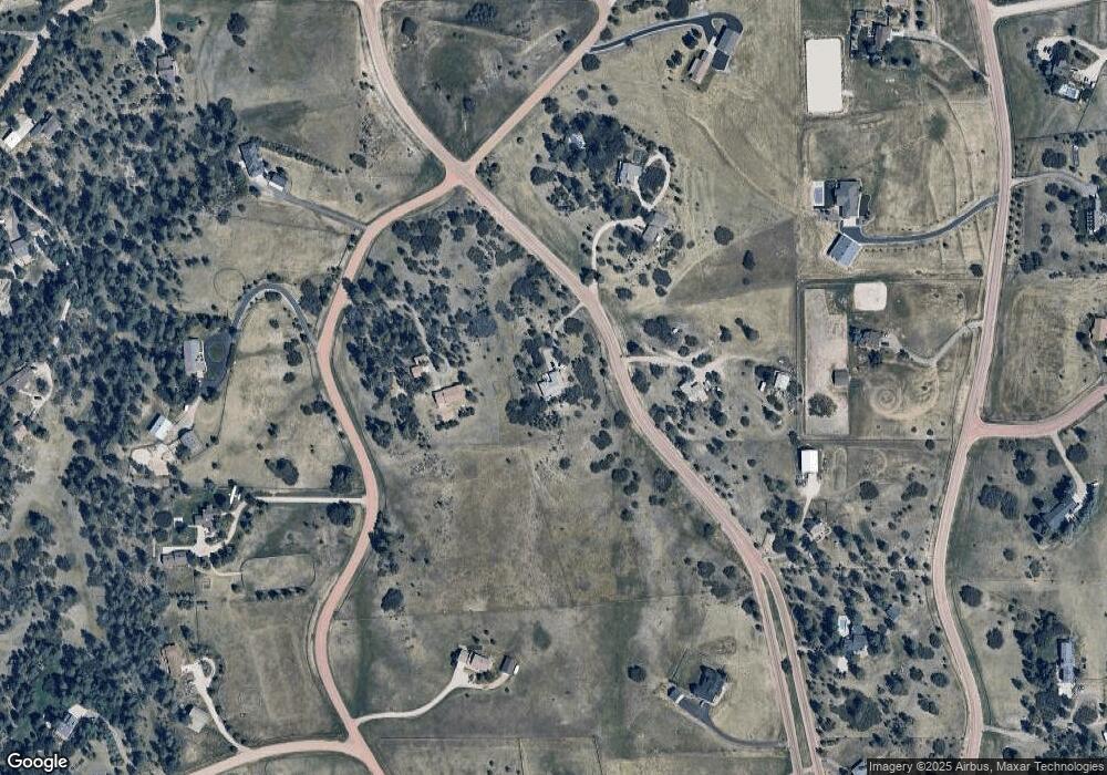
Map
Nearby Homes
- 1579 Deerpath Rd
- 2218 Deerpath Rd
- 2130 Frontier Ln
- 8788 E Tanglewood Rd
- 9162 Warriors Mark Dr
- 9212 Tanglewood Rd
- 75 Evening Hunt Rd
- 11011 Sunset Oaks
- 11008 Sunset Oaks Place
- 11004 Sunset Oaks Place
- 2717 Fox View Trail
- 11250 Running Kit Place
- 2705 Fox View Trail
- 11491 Evening Hunt Rd
- 2379 Fox View Trail
- 2741 Morning Run Ct
- 2937 Hidden Den Ct
- 2622 Fox View Trail
- 3125 Red Kit Rd
- 9141 Red Primrose St
- 1658 Columbine Dr
- 1630 Deerpath Rd
- 1536 Columbine Dr
- 1706 Deerpath Rd
- 1564 Deerpath Rd
- 1442 Columbine Dr
- 0 Deerpath Rd
- 1813 Deerpath Trail
- 1493 Deerpath Rd
- 1848 Columbine Dr
- 1885 Deerpath Trail
- 1669 Columbine Dr
- 1527 Columbine Dr
- 1721 Columbine Dr
- 1494 Deerpath Rd
- 1494 Deeepath Rd
- 1376 Columbine Dr
- 1906 Columbine Dr
- 1461 Columbine Dr
- 1415 Deerpath Rd
Your Personal Tour Guide
Ask me questions while you tour the home.