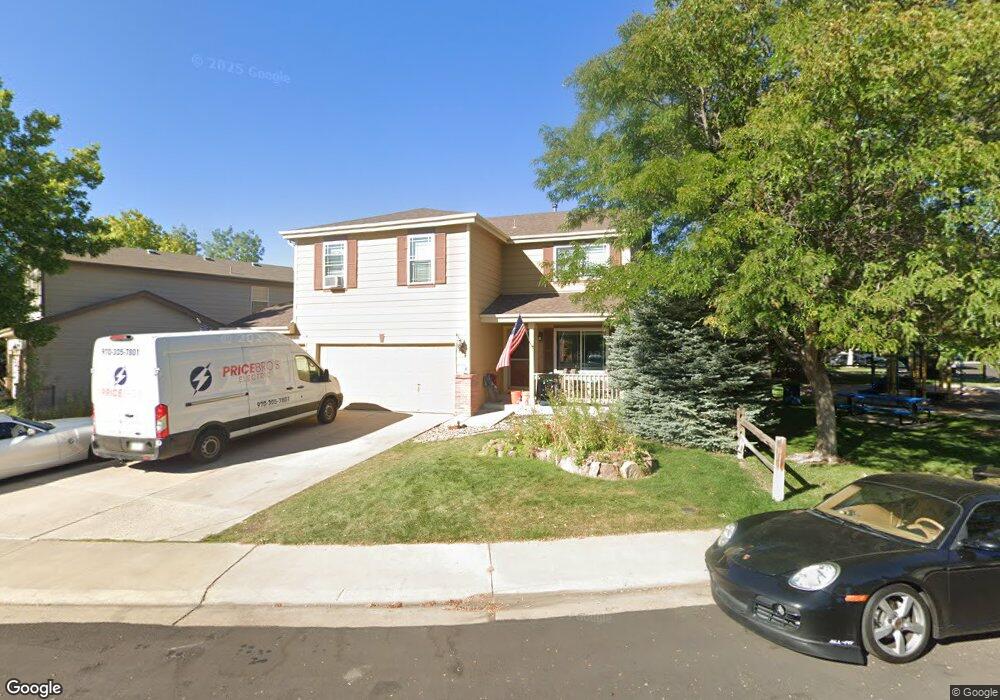
1695 E 131st Cir Thornton, CO 80241
Hunters Glen NeighborhoodEstimated Value: $576,515 - $622,000
4
Beds
3
Baths
2,900
Sq Ft
$208/Sq Ft
Est. Value
About This Home
This home is located at 1695 E 131st Cir, Thornton, CO 80241 and is currently estimated at $602,379, approximately $207 per square foot. 1695 E 131st Cir is a home located in Adams County with nearby schools including Hunters Glen Elementary School, Century Middle School, and Mountain Range High School.
Ownership History
Date
Name
Owned For
Owner Type
Purchase Details
Closed on
Jul 31, 2019
Sold by
Hpa Us1 Llc
Bought by
Hpa Ii Borrower 2019 1 Llc
Current Estimated Value
Purchase Details
Closed on
Feb 19, 2019
Sold by
Gitautis Richard J and Gitautis Kimberly A
Bought by
Hpa Us1 Llc
Purchase Details
Closed on
Aug 31, 1998
Sold by
Kdb Homes Inc
Bought by
Gitautis Richard J and Gitautis Kimberly A
Home Financials for this Owner
Home Financials are based on the most recent Mortgage that was taken out on this home.
Original Mortgage
$166,450
Interest Rate
6.94%
Create a Home Valuation Report for This Property
The Home Valuation Report is an in-depth analysis detailing your home's value as well as a comparison with similar homes in the area
Home Values in the Area
Average Home Value in this Area
Purchase History
| Date | Buyer | Sale Price | Title Company |
|---|---|---|---|
| Hpa Ii Borrower 2019 1 Llc | -- | None Available | |
| Hpa Us1 Llc | $427,636 | Stewart Title | |
| Gitautis Richard J | $184,993 | -- |
Source: Public Records
Mortgage History
| Date | Status | Borrower | Loan Amount |
|---|---|---|---|
| Previous Owner | Gitautis Richard J | $166,450 |
Source: Public Records
Tax History
| Year | Tax Paid | Tax Assessment Tax Assessment Total Assessment is a certain percentage of the fair market value that is determined by local assessors to be the total taxable value of land and additions on the property. | Land | Improvement |
|---|---|---|---|---|
| 2025 | $3,956 | $39,240 | $8,500 | $30,740 |
| 2024 | $3,956 | $36,060 | $7,810 | $28,250 |
| 2023 | $3,916 | $41,940 | $7,100 | $34,840 |
| 2022 | $3,249 | $29,490 | $7,300 | $22,190 |
| 2021 | $3,357 | $29,490 | $7,300 | $22,190 |
| 2020 | $3,207 | $28,750 | $7,510 | $21,240 |
| 2019 | $3,214 | $28,750 | $7,510 | $21,240 |
| 2018 | $2,958 | $25,710 | $7,490 | $18,220 |
| 2017 | $2,690 | $25,710 | $7,490 | $18,220 |
| 2016 | $2,380 | $22,150 | $5,170 | $16,980 |
| 2015 | $2,377 | $22,150 | $5,170 | $16,980 |
| 2014 | $2,106 | $18,250 | $3,580 | $14,670 |
Source: Public Records
Map
Nearby Homes
- 1672 E 131st Ct
- 7 Sandpiper Cir
- 1162 E 130th Ave Unit B
- 1174 E 130th Dr
- 2066 E 129th Ave
- 12905 Lafayette St Unit H
- 12885 Vine St
- 58 Blue Heron Dr
- 13508 Vine St
- 2275 E 129th Ave
- 1960 E 135th Place
- 2297 E 128th Ave
- 13262 Pearl Cir
- 2746 E 132nd Place
- 13550 Washington St Unit 7C
- 2942 E 135th Place
- 0 128th & Washington St
- 2973 E 133rd Ln
- 491 E 133rd Way
- 12560 Josephine St
- 1699 E 131st Cir
- 13103 Vine Ct
- 1698 E 131st Cir
- 13097 Race Ct
- 13113 Vine Ct
- 1692 E 131st Cir
- 13098 Race Ct
- 13102 Vine Ct
- 13310 Franklin St
- 13318 Franklin St
- 13087 Race Ct
- 13123 Vine Ct
- 13088 Race Ct
- 13324 Franklin St
- 1686 E 131st Cir
- 13132 Vine Ct
- 13301 Franklin St
- 13326 Franklin St
- 1678 E 131st Ct
- 13077 Race Ct
Your Personal Tour Guide
Ask me questions while you tour the home.