1695 Sanctuary Cir Unit 27 Howell, MI 48855
Estimated Value: $366,514 - $423,000
3
Beds
3
Baths
2,336
Sq Ft
$166/Sq Ft
Est. Value
About This Home
This home is located at 1695 Sanctuary Cir Unit 27, Howell, MI 48855 and is currently estimated at $386,629, approximately $165 per square foot. 1695 Sanctuary Cir Unit 27 is a home located in Livingston County with nearby schools including Ruahmah J. Hutchings Elementary, Parker Middle School, and Howell High School.
Ownership History
Date
Name
Owned For
Owner Type
Purchase Details
Closed on
Apr 12, 2013
Sold by
Weinstein Paul and Weinstein Belgica
Bought by
Streicher Mark
Current Estimated Value
Home Financials for this Owner
Home Financials are based on the most recent Mortgage that was taken out on this home.
Original Mortgage
$140,000
Outstanding Balance
$99,223
Interest Rate
3.56%
Estimated Equity
$287,406
Create a Home Valuation Report for This Property
The Home Valuation Report is an in-depth analysis detailing your home's value as well as a comparison with similar homes in the area
Home Values in the Area
Average Home Value in this Area
Purchase History
| Date | Buyer | Sale Price | Title Company |
|---|---|---|---|
| Streicher Mark | $180,000 | -- |
Source: Public Records
Mortgage History
| Date | Status | Borrower | Loan Amount |
|---|---|---|---|
| Open | Streicher Mark | $140,000 |
Source: Public Records
Tax History Compared to Growth
Tax History
| Year | Tax Paid | Tax Assessment Tax Assessment Total Assessment is a certain percentage of the fair market value that is determined by local assessors to be the total taxable value of land and additions on the property. | Land | Improvement |
|---|---|---|---|---|
| 2025 | $1,936 | $187,000 | $0 | $0 |
| 2024 | $1,881 | $175,500 | $0 | $0 |
| 2023 | $1,797 | $165,700 | $0 | $0 |
| 2022 | $826 | $136,400 | $0 | $0 |
| 2021 | $2,489 | $142,000 | $0 | $0 |
| 2020 | $2,518 | $136,400 | $0 | $0 |
| 2019 | $2,482 | $121,500 | $0 | $0 |
| 2018 | $2,451 | $113,800 | $0 | $0 |
| 2017 | $2,419 | $113,400 | $0 | $0 |
| 2016 | $2,406 | $110,000 | $0 | $0 |
| 2014 | $2,921 | $97,400 | $0 | $0 |
| 2012 | $2,921 | $104,800 | $0 | $0 |
Source: Public Records
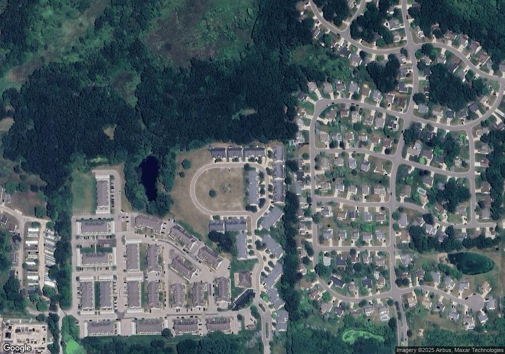
Map
Nearby Homes
- 2511 Kerria Dr Unit 42
- 2495 Moore Place
- 1570 Princewood Blvd
- 1400 Oakcrest Rd
- 1633 Frech Ln
- VACANT LOT Thompson Shore Dr
- 304 Victoria Park Dr Unit 45
- 3040 Bogues View Dr
- 2500 Fisher Rd
- 1773 Welland St
- Howden A Plan at Howden Meadows
- Howden B Plan at Howden Meadows
- 559 Cannonade Loop
- 475 Cannonade Loop
- 2653 Ravine Side N
- 2424 Fisher Rd
- 386 Dorchester Dr
- 571 Cannonade Loop
- 523 Cannonade Loop
- 583 Cannonade Loop
- 1695 Sanctuary Cir
- 1661 Sanctuary Cir
- 1661 Sanctuary Cir Unit 26
- 1655 Sanctuary Cir
- 1715 Sanctuary Cir
- 1647 Sanctuary Cir
- 1723 Sanctuary Cir
- 1710 Sanctuary Cir
- 1704 Sanctuary Cir
- 1704 Sanctuary Cir Unit 36
- 1639 Sanctuary Cir
- 1674 Sanctuary Cir
- 1698 Sanctuary Cir
- 1698 Sanctuary Cir Unit 35
- 1680 Sanctuary Cir
- 1716 Sanctuary Cir
- 1656 Sanctuary Cir
- 1829 Sanctuary Cir
- 1727 Sanctuary Cir
- 1650 Sanctuary Cir