1695 W Shore Dr Martinsville, IN 46151
Estimated Value: $403,000 - $474,000
3
Beds
3
Baths
3,096
Sq Ft
$139/Sq Ft
Est. Value
About This Home
This home is located at 1695 W Shore Dr, Martinsville, IN 46151 and is currently estimated at $431,426, approximately $139 per square foot. 1695 W Shore Dr is a home located in Morgan County with nearby schools including Martinsville High School.
Ownership History
Date
Name
Owned For
Owner Type
Purchase Details
Closed on
Aug 14, 2020
Sold by
Earle Charles C and Earle Rebecca L
Bought by
Ford Michael and Ford Kimberly
Current Estimated Value
Home Financials for this Owner
Home Financials are based on the most recent Mortgage that was taken out on this home.
Original Mortgage
$285,000
Outstanding Balance
$252,815
Interest Rate
3%
Mortgage Type
New Conventional
Estimated Equity
$178,611
Create a Home Valuation Report for This Property
The Home Valuation Report is an in-depth analysis detailing your home's value as well as a comparison with similar homes in the area
Home Values in the Area
Average Home Value in this Area
Purchase History
| Date | Buyer | Sale Price | Title Company |
|---|---|---|---|
| Ford Michael | -- | Chicago Title Company Llc |
Source: Public Records
Mortgage History
| Date | Status | Borrower | Loan Amount |
|---|---|---|---|
| Open | Ford Michael | $285,000 |
Source: Public Records
Tax History Compared to Growth
Tax History
| Year | Tax Paid | Tax Assessment Tax Assessment Total Assessment is a certain percentage of the fair market value that is determined by local assessors to be the total taxable value of land and additions on the property. | Land | Improvement |
|---|---|---|---|---|
| 2024 | $2,526 | $385,000 | $70,000 | $315,000 |
| 2023 | $2,901 | $373,000 | $58,000 | $315,000 |
| 2022 | $2,457 | $309,200 | $30,800 | $278,400 |
| 2021 | $1,106 | $269,200 | $30,800 | $238,400 |
| 2020 | $1,741 | $227,500 | $30,800 | $196,700 |
| 2019 | $1,853 | $228,200 | $30,800 | $197,400 |
| 2018 | $1,853 | $228,200 | $30,800 | $197,400 |
| 2017 | $904 | $230,700 | $30,800 | $199,900 |
| 2016 | $1,972 | $228,600 | $30,800 | $197,800 |
| 2014 | $671 | $211,800 | $30,800 | $181,000 |
| 2013 | $671 | $211,800 | $30,800 | $181,000 |
Source: Public Records
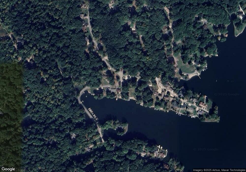
Map
Nearby Homes
- 0 E White Oak Unit MBR22050248
- 880 Riverview Dr
- 1128 S Thomas Dr
- Ashton Plan at Hanna Farms - Arbor Series
- Aspen II Plan at Hanna Farms - Arbor Series
- Cooper Plan at Hanna Farms - Arbor Series
- Walnut Plan at Hanna Farms - Arbor Series
- Chestnut Plan at Hanna Farms - Arbor Series
- Norway Plan at Hanna Farms - Arbor Series
- Bradford Plan at Hanna Farms - Arbor Series
- Spruce Plan at Hanna Farms - Arbor Series
- Empress Plan at Hanna Farms - Arbor Series
- Palmetto Plan at Hanna Farms - Arbor Series
- 2200 Norwich Place
- 2770 State Road 67 N
- 0 Rose St
- 1715 Orchard Hills Rd
- 2975 Grizzly Ln
- 329 N Park Ave
- 316 N Henry St
- 1675 W Shore Dr
- 1205 Locust Dr
- 1655 W Shore Dr
- 1165 Locust Dr
- 71 W Shore Dr
- 0 W Shore Dr
- 1640 W Shore Dr
- Lot 71 W Shore Dr
- 1170 Locust Dr
- 1155 Locust Dr
- 1625 W Shore Dr
- 1145 Locust Dr
- 1750 W Shore Dr
- 1070 Locust Dr
- LOT 74 Locust Dr
- L 127 Locust Dr
- 1135 Locust Dr
- 1160 Locust Dr
- 1555 W Shore Dr
- 1735 W Shore Dr