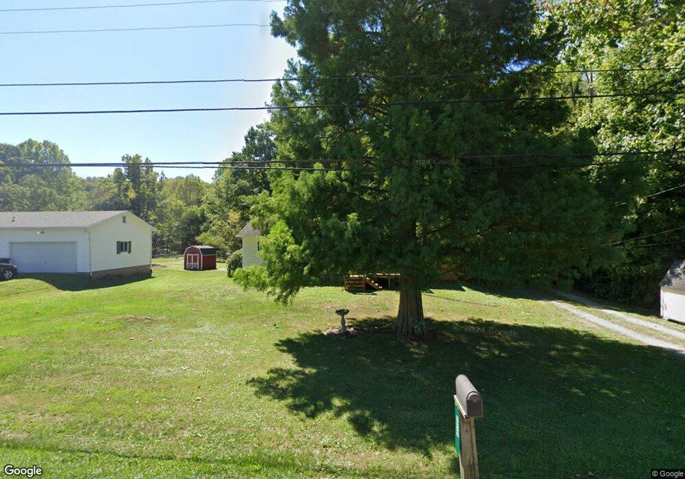
16950 State Route 550 Marietta, OH 45750
Estimated Value: $150,000 - $204,000
3
Beds
1
Bath
1,056
Sq Ft
$166/Sq Ft
Est. Value
About This Home
This home is located at 16950 State Route 550, Marietta, OH 45750 and is currently estimated at $175,616, approximately $166 per square foot. 16950 State Route 550 is a home with nearby schools including Warren High School.
Ownership History
Date
Name
Owned For
Owner Type
Purchase Details
Closed on
Aug 28, 2018
Sold by
Thompson Michael A and Thompson Beth E
Bought by
Thompson Allen J and Thompson Levi M
Current Estimated Value
Purchase Details
Closed on
May 30, 2008
Sold by
Brandt Charles E and Brandt Melanie A
Bought by
Thompson Michael A and Thompson Beth E
Home Financials for this Owner
Home Financials are based on the most recent Mortgage that was taken out on this home.
Original Mortgage
$87,310
Interest Rate
5.93%
Mortgage Type
FHA
Purchase Details
Closed on
Dec 31, 2003
Bought by
Brandt Charles E and Brandt Melan
Purchase Details
Closed on
Nov 8, 1999
Bought by
Lee Kathie L and Brandy Me
Purchase Details
Closed on
May 28, 1999
Bought by
Lee Kathie L
Create a Home Valuation Report for This Property
The Home Valuation Report is an in-depth analysis detailing your home's value as well as a comparison with similar homes in the area
Home Values in the Area
Average Home Value in this Area
Purchase History
| Date | Buyer | Sale Price | Title Company |
|---|---|---|---|
| Thompson Allen J | -- | None Available | |
| Thompson Michael A | $88,000 | Attorney | |
| Brandt Charles E | $32,500 | -- | |
| Lee Kathie L | $10,200 | -- | |
| Lee Kathie L | -- | -- |
Source: Public Records
Mortgage History
| Date | Status | Borrower | Loan Amount |
|---|---|---|---|
| Previous Owner | Thompson Michael A | $87,310 |
Source: Public Records
Tax History Compared to Growth
Tax History
| Year | Tax Paid | Tax Assessment Tax Assessment Total Assessment is a certain percentage of the fair market value that is determined by local assessors to be the total taxable value of land and additions on the property. | Land | Improvement |
|---|---|---|---|---|
| 2024 | $1,687 | $44,550 | $8,340 | $36,210 |
| 2023 | $1,687 | $44,550 | $8,340 | $36,210 |
| 2022 | $1,684 | $44,550 | $8,340 | $36,210 |
| 2021 | $1,231 | $31,130 | $5,920 | $25,210 |
| 2020 | $1,224 | $31,130 | $5,920 | $25,210 |
| 2019 | $1,213 | $31,130 | $5,920 | $25,210 |
| 2018 | $1,128 | $28,070 | $5,150 | $22,920 |
| 2017 | $1,122 | $28,070 | $5,150 | $22,920 |
| 2016 | $1,429 | $28,070 | $5,150 | $22,920 |
| 2015 | $931 | $25,900 | $4,890 | $21,010 |
| 2014 | $1,333 | $25,900 | $4,890 | $21,010 |
| 2013 | $891 | $25,900 | $4,890 | $21,010 |
Source: Public Records
Map
Nearby Homes
- 2021 Robinson Hill Rd
- 254 Riggenbach Hill Rd
- 65 High Point Dr
- 0 River Rd Unit Lot WP001
- 203 57th St
- 302 57th St
- 411 58th St
- 53 Central Dr
- 407 56th St
- 5607 Grand Central Ave
- 5505 6th Ave
- 375 Belavista Dr
- 20645 Ohio 676
- 188 Greenbrier Ave
- 604 51st St
- 0 Orange Dr
- 100 Pineview Dr
- 116 Pineview Dr
- 1200 55th St
- 505 Harbor Point
- 16970 Ohio 550
- 16970 State Route 550
- 16920 Ohio 550
- 16920 State Route 550
- 16690 State Route 550
- 17010 State Route 550
- 16890 State Route 550
- 17020 State Route 550
- 17043 State Route 550
- 16860 State Route 550
- 17043 Ohio 550
- 17040 State Route 550
- 16840 State Route 550
- 17068 State Route 550
- 32 Warren Heights Dr
- 101 Warren Heights Dr
- 17047 Warren Heights Dr
- 100 Warren Heights Dr
- 16770 Oh 550
- 16770 State Route 550