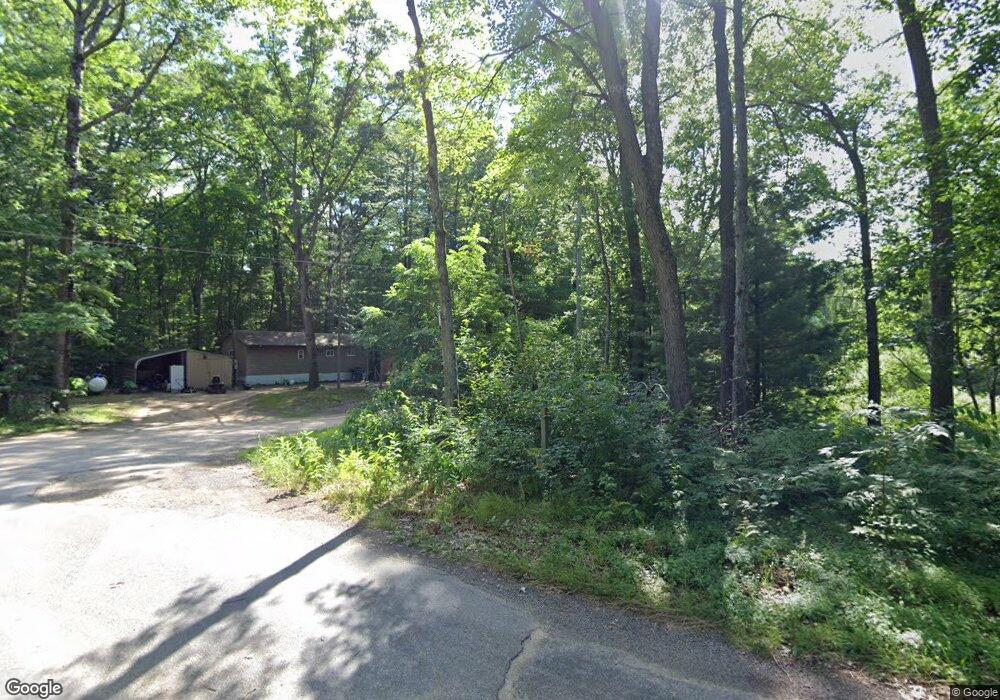
16959 2nd Wellston, MI 49689
Estimated Value: $109,618 - $178,000
--
Bed
--
Bath
--
Sq Ft
0.38
Acres
About This Home
This home is located at 16959 2nd, Wellston, MI 49689 and is currently estimated at $145,655. 16959 2nd is a home located in Manistee County with nearby schools including Kaleva Norma Dickson Elementary School, Brethren Middle School, and Brethren Middle/High School.
Ownership History
Date
Name
Owned For
Owner Type
Purchase Details
Closed on
Apr 1, 2002
Current Estimated Value
Create a Home Valuation Report for This Property
The Home Valuation Report is an in-depth analysis detailing your home's value as well as a comparison with similar homes in the area
Home Values in the Area
Average Home Value in this Area
Purchase History
| Date | Buyer | Sale Price | Title Company |
|---|---|---|---|
| -- | $23,000 | -- |
Source: Public Records
Tax History Compared to Growth
Tax History
| Year | Tax Paid | Tax Assessment Tax Assessment Total Assessment is a certain percentage of the fair market value that is determined by local assessors to be the total taxable value of land and additions on the property. | Land | Improvement |
|---|---|---|---|---|
| 2025 | $654 | $49,500 | $0 | $0 |
| 2024 | $157 | $43,700 | $0 | $0 |
| 2023 | $150 | $30,600 | $0 | $0 |
| 2022 | $643 | $14,800 | $14,800 | $0 |
| 2021 | $621 | $11,900 | $11,900 | $0 |
| 2020 | $624 | $12,100 | $12,100 | $0 |
| 2019 | $618 | $11,900 | $11,900 | $0 |
| 2018 | $655 | $12,800 | $12,800 | $0 |
| 2017 | $643 | $12,800 | $12,800 | $0 |
| 2016 | $142 | $12,700 | $12,700 | $0 |
| 2015 | -- | $12,300 | $12,300 | $0 |
| 2014 | -- | $12,000 | $0 | $0 |
Source: Public Records
Map
Nearby Homes
- 1686 Oak St
- 17111 Gene St
- 16920 6th St
- 17016 6th St
- 0 Main St
- 17068 7th St
- 0 8th St Unit 25023279
- 17124 8th St
- Lots 1-9 Cranberry St
- V/L Spring St
- 17423 Spring St
- 0 St
- 0 M-55 Unit 1930598
- 0 M-55 Unit 1921082
- 259 S Baker Rd
- 1186 S Baker Rd
- 16253 Caberfae Hwy
- 16039 Steinberg Rd
- 17741 Caberfae Hwy
- 17851 Caberfae Hwy