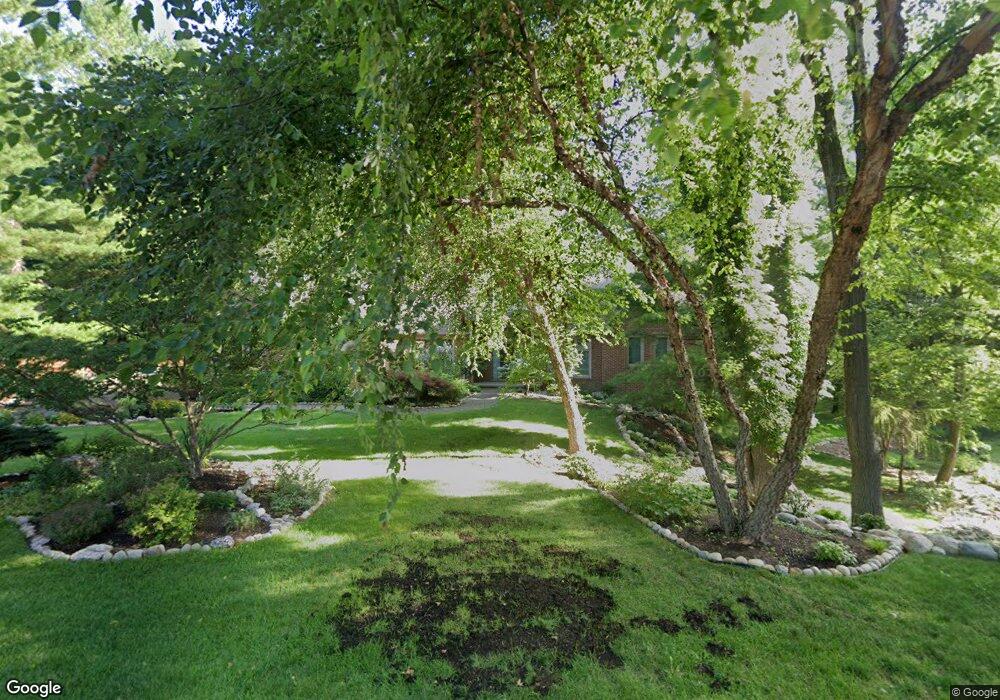
1696 Deer Path Trail Oxford, MI 48371
Estimated Value: $562,765 - $731,000
3
Beds
3
Baths
2,436
Sq Ft
$272/Sq Ft
Est. Value
About This Home
This home is located at 1696 Deer Path Trail, Oxford, MI 48371 and is currently estimated at $662,441, approximately $271 per square foot. 1696 Deer Path Trail is a home located in Oakland County with nearby schools including Paint Creek Elementary School, Scripps Middle School, and Lake Orion Community High School.
Ownership History
Date
Name
Owned For
Owner Type
Purchase Details
Closed on
Aug 29, 2002
Sold by
Boyle Michael J
Bought by
Dubs Ronald F
Current Estimated Value
Home Financials for this Owner
Home Financials are based on the most recent Mortgage that was taken out on this home.
Original Mortgage
$145,000
Outstanding Balance
$61,234
Interest Rate
6.39%
Estimated Equity
$601,207
Purchase Details
Closed on
Oct 18, 2000
Sold by
Vackaro Construction
Bought by
Vackaro Dan
Purchase Details
Closed on
Oct 18, 1999
Sold by
Vackaro Dan
Bought by
Boyle Michael J
Create a Home Valuation Report for This Property
The Home Valuation Report is an in-depth analysis detailing your home's value as well as a comparison with similar homes in the area
Home Values in the Area
Average Home Value in this Area
Purchase History
| Date | Buyer | Sale Price | Title Company |
|---|---|---|---|
| Dubs Ronald F | $395,000 | -- | |
| Vackaro Dan | -- | -- | |
| Boyle Michael J | $319,000 | -- |
Source: Public Records
Mortgage History
| Date | Status | Borrower | Loan Amount |
|---|---|---|---|
| Open | Dubs Ronald F | $145,000 |
Source: Public Records
Tax History Compared to Growth
Tax History
| Year | Tax Paid | Tax Assessment Tax Assessment Total Assessment is a certain percentage of the fair market value that is determined by local assessors to be the total taxable value of land and additions on the property. | Land | Improvement |
|---|---|---|---|---|
| 2024 | $4,459 | $243,300 | $0 | $0 |
| 2023 | $4,253 | $224,230 | $0 | $0 |
| 2022 | $6,300 | $200,580 | $0 | $0 |
| 2021 | $6,026 | $194,370 | $0 | $0 |
| 2020 | $3,894 | $193,440 | $0 | $0 |
| 2019 | $5,632 | $198,200 | $0 | $0 |
| 2018 | $5,526 | $205,960 | $0 | $0 |
| 2017 | $5,427 | $205,670 | $0 | $0 |
| 2016 | $5,416 | $204,330 | $0 | $0 |
| 2015 | -- | $199,690 | $0 | $0 |
| 2014 | -- | $195,900 | $0 | $0 |
| 2011 | -- | $148,130 | $0 | $0 |
Source: Public Records
Map
Nearby Homes
- 1562 Eagle Trail
- 573 Nakomis Trail
- 1126 Watersmeet Dr
- 1035 Nakomis Trail
- 1667 Royal Birkdale Dr
- 1060 Tinley Blvd
- 1151 Abseguami Trail
- 1612 Royal Birkdale Dr Unit 77
- 1320 W Drahner Rd
- 1910 Royal Birkdale Dr
- 1156 Seneca Rd
- 1200 Iroquois Trail
- 1181 Iroquois Trail
- 1039 Yale Dr
- 1245 Woodbriar Dr
- 383 W Drahner Rd
- 460 Lake Manitou Trail
- 730 Indianwood Rd
- 1209 Quail Ridge Dr
- 1772 Berwick Ln
- 1644 Wood Trail
- 1704 Deer Path Trail
- 1672 Deer Path Trail
- 1697 Deer Path Trail
- 1624 Wood Trail
- 1668 Wood Trail
- 1725 Deer Path Trail
- 1500 Eagle Trail
- 1673 Deer Path Trail
- 1690 Wood Trail
- 1604 Wood Trail
- 1620 Deer Path Trail
- 1669 Wood Trail
- 1501 Eagle Trail
- 1574 Deer Path Trail
- 1530 Eagle Trail
- 1597 Wood Trail
- 1515 Eagle Trail
- 1779 Deer Path Trail
- 1750 Deer Path Trail