Estimated Value: $54,000 - $125,000
4
Beds
2
Baths
1,280
Sq Ft
$81/Sq Ft
Est. Value
About This Home
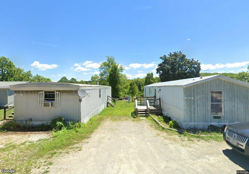
This home is located at 16964 N State Hwy 21, Cadet, MO 63630 and is currently estimated at $103,356, approximately $80 per square foot. 16964 N State Hwy 21 is a home located in Washington County with nearby schools including Kingston Primary School, Kingston Elementary School, and Kingston Middle School.
Ownership History
Date
Name
Owned For
Owner Type
Purchase Details
Closed on
May 12, 2010
Sold by
Blair Glenda and Blair Wayne
Bought by
West Dwayne and West Julie
Current Estimated Value
Home Financials for this Owner
Home Financials are based on the most recent Mortgage that was taken out on this home.
Original Mortgage
$97,300
Interest Rate
5%
Create a Home Valuation Report for This Property
The Home Valuation Report is an in-depth analysis detailing your home's value as well as a comparison with similar homes in the area
Home Values in the Area
Average Home Value in this Area
Purchase History
| Date | Buyer | Sale Price | Title Company |
|---|---|---|---|
| West Dwayne | -- | -- |
Source: Public Records
Mortgage History
| Date | Status | Borrower | Loan Amount |
|---|---|---|---|
| Closed | West Dwayne | $97,300 |
Source: Public Records
Tax History Compared to Growth
Tax History
| Year | Tax Paid | Tax Assessment Tax Assessment Total Assessment is a certain percentage of the fair market value that is determined by local assessors to be the total taxable value of land and additions on the property. | Land | Improvement |
|---|---|---|---|---|
| 2024 | $537 | $9,870 | $2,360 | $7,510 |
| 2023 | $534 | $9,870 | $2,360 | $7,510 |
| 2022 | $534 | $9,870 | $2,360 | $7,510 |
| 2021 | $537 | $9,870 | $2,360 | $7,510 |
| 2020 | $446 | $9,870 | $2,360 | $7,510 |
| 2019 | $538 | $9,870 | $2,360 | $7,510 |
| 2018 | $540 | $9,880 | $0 | $0 |
| 2017 | $538 | $9,880 | $2,370 | $7,510 |
| 2016 | $531 | $9,880 | $2,370 | $7,510 |
| 2014 | -- | $9,860 | $0 | $0 |
| 2013 | -- | $9,860 | $0 | $0 |
| 2012 | -- | $9,860 | $0 | $0 |
Source: Public Records
Map
Nearby Homes
- 10262 Cannon Mines Rd
- 0 Cyclone Rd
- 10324 Vine Rd
- 10330 Bottom Diggins Rd
- Tract 1 Dusty Rd
- 0 Foxtrot Rd
- 10270 Skyline Dr
- 10021 Bugle Rd
- 130 Acres Hwy E
- 10686 Peppersville Rd
- 30 Acres Hwy E
- (125.87 Ac) Tract A-1 Clear Creek Rd
- 13085 E State Hwy E
- 20 Acres Hwy E
- 50 Acres Hwy E
- Lot 1 Wicket Rd
- 0 State Highway F Unit MIS25069736
- 2 Rita Rd
- 40 AC Roderick Rd
- 10248 Keyes Branch Rd
- 16964 N State Highway 21
- 17000 Missouri 21
- 16964 Missouri 21
- 16830 N State Highway 21
- 9 Villmer Off of Rd
- 3 Villmer
- 1 Villmer
- 2 Villmer
- 10056 Villmer Rd
- 10190 Jl Boyer Rd
- 10370 Settles Rd
- 16603 N State Highway 21
- 16665 N State Highway 21
- 10035 Settles Rd
- 17389 N State Highway 21
- 10713 Villmer Rd
- 10759 Mystic Rd
- 10538 Settles Rd
- 10069 Buchanan Ln
- 0 Pat Daly Rd Unit 18070214