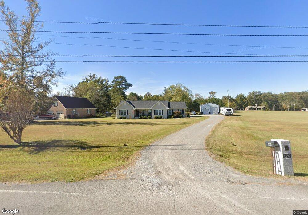
1697 Byrd Rd Hartselle, AL 35640
Estimated Value: $252,000 - $357,000
3
Beds
2
Baths
2,032
Sq Ft
$149/Sq Ft
Est. Value
About This Home
This home is located at 1697 Byrd Rd, Hartselle, AL 35640 and is currently estimated at $302,696, approximately $148 per square foot. 1697 Byrd Rd is a home located in Morgan County with nearby schools including Falkville Elementary School, Falkville High School, and Bethel Baptist School.
Ownership History
Date
Name
Owned For
Owner Type
Purchase Details
Closed on
Jan 25, 2024
Sold by
Jetton Jimmy Ray and Jetton Jimmie Ray
Bought by
Ludwig Samantha Jetton and Jetton Tracy Jean
Current Estimated Value
Create a Home Valuation Report for This Property
The Home Valuation Report is an in-depth analysis detailing your home's value as well as a comparison with similar homes in the area
Home Values in the Area
Average Home Value in this Area
Purchase History
| Date | Buyer | Sale Price | Title Company |
|---|---|---|---|
| Ludwig Samantha Jetton | $111,500 | None Listed On Document | |
| Ludwig Samantha Jetton | $111,500 | None Listed On Document |
Source: Public Records
Tax History Compared to Growth
Tax History
| Year | Tax Paid | Tax Assessment Tax Assessment Total Assessment is a certain percentage of the fair market value that is determined by local assessors to be the total taxable value of land and additions on the property. | Land | Improvement |
|---|---|---|---|---|
| 2024 | $823 | $22,660 | $3,950 | $18,710 |
| 2023 | $795 | $22,660 | $3,950 | $18,710 |
| 2022 | $795 | $22,660 | $3,950 | $18,710 |
| 2021 | $644 | $18,660 | $3,040 | $15,620 |
| 2020 | $611 | $32,480 | $3,040 | $29,440 |
| 2019 | $611 | $17,760 | $0 | $0 |
| 2015 | $553 | $16,220 | $0 | $0 |
| 2014 | $553 | $16,220 | $0 | $0 |
| 2013 | -- | $15,680 | $0 | $0 |
Source: Public Records
Map
Nearby Homes
- 1698 Parker Rd SE
- 1902 Laney Dr
- 1901 Josie Dr
- 1264 Parker Rd SE
- 1804 Woodbreeze Cir
- 909 Ronnie Dr SE
- 902 Ronnie Dr SE
- 815 Ronnie Dr SE
- 1901 Rae Ct SE
- 907 Ronnie Dr SE
- 905 Ronnie Dr
- 901 Ronnie Dr SE
- 829 Ronnie Dr SE
- The Rockford B Plan at Cain Park
- The Camilla A Plan at Cain Park - The Retreat at Cain Park
- The Camilla D Plan at Cain Park - The Retreat at Cain Park
- The Camilla C Plan at Cain Park - The Retreat at Cain Park
- The Rockford Plan at Cain Park
- The Madison A Plan at Cain Park
- The Montgomery Plan at Cain Park