1697 Mimosa Point Rd Rockford, AL 35136
Estimated Value: $571,000 - $745,000
--
Bed
--
Bath
3,028
Sq Ft
$216/Sq Ft
Est. Value
About This Home
This home is located at 1697 Mimosa Point Rd, Rockford, AL 35136 and is currently estimated at $653,667, approximately $215 per square foot. 1697 Mimosa Point Rd is a home with nearby schools including Central Elementary School and Central High School.
Ownership History
Date
Name
Owned For
Owner Type
Purchase Details
Closed on
Sep 30, 2020
Sold by
Vinson Tobin N and Vinson Jamie R
Bought by
Nolin Denver Hugh and Nolin Susan G
Current Estimated Value
Home Financials for this Owner
Home Financials are based on the most recent Mortgage that was taken out on this home.
Original Mortgage
$387,000
Outstanding Balance
$344,216
Interest Rate
2.9%
Mortgage Type
New Conventional
Estimated Equity
$309,451
Create a Home Valuation Report for This Property
The Home Valuation Report is an in-depth analysis detailing your home's value as well as a comparison with similar homes in the area
Home Values in the Area
Average Home Value in this Area
Purchase History
| Date | Buyer | Sale Price | Title Company |
|---|---|---|---|
| Nolin Denver Hugh | $430,000 | None Available |
Source: Public Records
Mortgage History
| Date | Status | Borrower | Loan Amount |
|---|---|---|---|
| Open | Nolin Denver Hugh | $387,000 |
Source: Public Records
Tax History Compared to Growth
Tax History
| Year | Tax Paid | Tax Assessment Tax Assessment Total Assessment is a certain percentage of the fair market value that is determined by local assessors to be the total taxable value of land and additions on the property. | Land | Improvement |
|---|---|---|---|---|
| 2024 | $1,185 | $44,440 | $0 | $0 |
| 2023 | $990 | $88,880 | $40,000 | $48,880 |
| 2022 | $990 | $73,880 | $25,000 | $48,880 |
| 2021 | $922 | $33,180 | $0 | $0 |
| 2020 | $837 | $33,180 | $0 | $0 |
| 2019 | $837 | $33,180 | $12,500 | $20,680 |
| 2018 | $838 | $33,220 | $12,500 | $20,720 |
| 2017 | $804 | $31,920 | $12,500 | $19,420 |
| 2016 | $804 | $31,920 | $12,500 | $19,420 |
| 2015 | $804 | $31,920 | $12,500 | $19,420 |
| 2014 | $804 | $31,920 | $12,500 | $19,420 |
| 2013 | $804 | $31,920 | $12,500 | $19,420 |
Source: Public Records
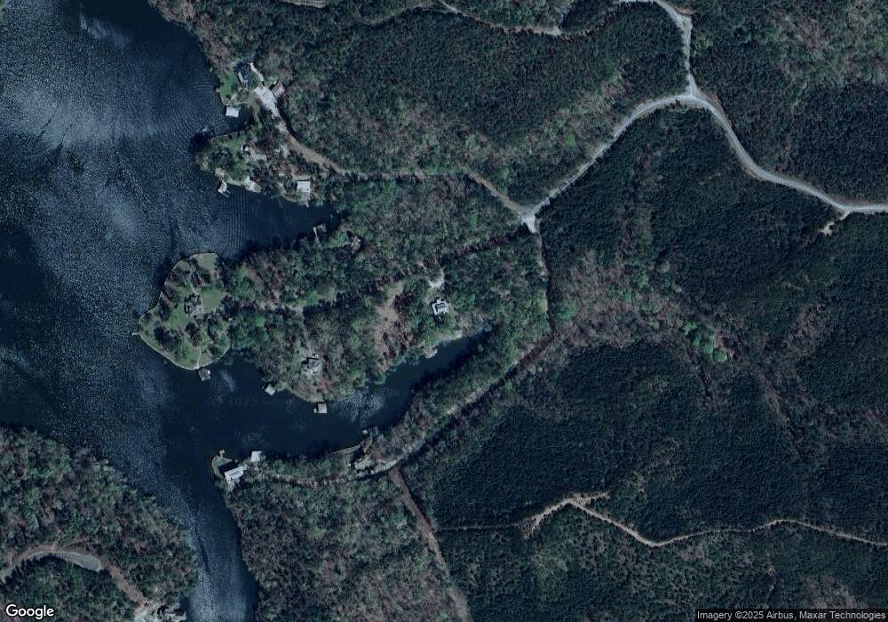
Map
Nearby Homes
- 368 Preserve Shores Dr
- Lot 1 Preserve Dr Unit 1
- 1830 Mimosa Point Rd
- 1733 Mimosa Point Rd Unit 8
- 0 Preserve Rd Unit Lot 12 572183
- 0 Preserve Rd Unit Lot 11 572179
- 0 Preserve Rd Unit Lot 10 572177
- 0 Preserve Rd Unit Lot 9 572176
- 0 Preserve Rd Unit Lot 8 572174
- 0 Preserve Rd Unit Lot 7 572173
- 0 Preserve Rd Unit Lot 5 572172
- 0 Preserve Rd Unit Lot 4 572167
- 0 Preserve Rd Unit Lot 3 572164
- 0 Preserve Rd Unit Lot 2 572162
- 0 Preserve Rd Unit Lot 1 572157
- 0 Preserve Rd Unit Lot 13 572185
- 0 Preserve Rd Unit Lot 13 21411998
- 0 Preserve Rd Unit Lot 12 21411996
- 0 Preserve Rd Unit Lot 11 21411995
- 0 Preserve Rd Unit Lot 10 21411994
- 28 Meagan Dr
- 1118 Preserve Dr
- 569 Herron Ln
- 424 Turkey Run Dr
- 1010 Big Y Cove Loop
- 451 Daybreak Curve
- 62 Hidden Point
- 523 Herron Ln
- 1108 Preserve Dr Unit 7
- 397 Lakeview Rd
- 927 Preserve Dr
- 2163 Eagle Mountain Rd
- 1110 Preserve Dr
- 256 Big Y Cove Loop
- 1100 Preserve Dr
- 1090 Preserve Dr
- 324 Mimosa Cove Ln
- 1776 Mimosa Point Rd
- 1799 Mimosa Point Rd
- 1812 Mimosa Point Rd