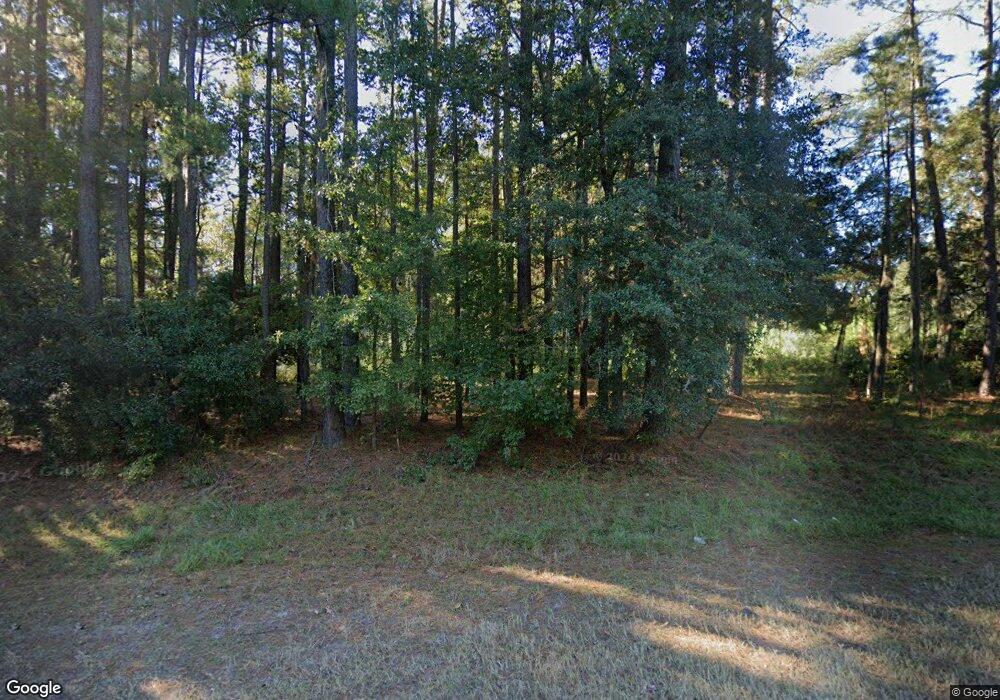
16973 Us Highway 17 Townsend, GA 31331
Estimated Value: $102,771 - $365,000
--
Bed
--
Bath
1,792
Sq Ft
$136/Sq Ft
Est. Value
About This Home
This home is located at 16973 Us Highway 17, Townsend, GA 31331 and is currently estimated at $243,193, approximately $135 per square foot. 16973 Us Highway 17 is a home with nearby schools including Todd Grant Elementary School, McIntosh County Middle School, and McIntosh County Academy.
Ownership History
Date
Name
Owned For
Owner Type
Purchase Details
Closed on
Dec 8, 2005
Sold by
Dean John W
Bought by
Townsend Susan J and Nettles James R
Current Estimated Value
Home Financials for this Owner
Home Financials are based on the most recent Mortgage that was taken out on this home.
Original Mortgage
$106,034
Outstanding Balance
$59,327
Interest Rate
6.29%
Mortgage Type
New Conventional
Estimated Equity
$183,866
Purchase Details
Closed on
Sep 22, 1998
Sold by
Dean Jw Wb and Dean Jw Mary
Bought by
Dean John W
Create a Home Valuation Report for This Property
The Home Valuation Report is an in-depth analysis detailing your home's value as well as a comparison with similar homes in the area
Home Values in the Area
Average Home Value in this Area
Purchase History
| Date | Buyer | Sale Price | Title Company |
|---|---|---|---|
| Townsend Susan J | $130,000 | -- | |
| Dean John W | -- | -- |
Source: Public Records
Mortgage History
| Date | Status | Borrower | Loan Amount |
|---|---|---|---|
| Open | Townsend Susan J | $106,034 | |
| Closed | Townsend Susan J | $26,000 |
Source: Public Records
Tax History Compared to Growth
Tax History
| Year | Tax Paid | Tax Assessment Tax Assessment Total Assessment is a certain percentage of the fair market value that is determined by local assessors to be the total taxable value of land and additions on the property. | Land | Improvement |
|---|---|---|---|---|
| 2024 | $545 | $19,656 | $16,160 | $3,496 |
| 2023 | $506 | $18,176 | $14,680 | $3,496 |
| 2022 | $486 | $17,456 | $13,960 | $3,496 |
| 2021 | $486 | $17,460 | $13,960 | $3,500 |
| 2020 | $499 | $17,704 | $13,960 | $3,744 |
| 2019 | $486 | $18,280 | $13,960 | $4,320 |
| 2018 | $486 | $18,280 | $13,960 | $4,320 |
| 2017 | $545 | $18,200 | $13,960 | $4,240 |
| 2016 | $636 | $18,200 | $13,960 | $4,240 |
| 2015 | $408 | $10,494 | $6,442 | $4,052 |
| 2014 | $1,465 | $58,965 | $12,044 | $46,921 |
Source: Public Records
Map
Nearby Homes
- LOT 734 Village Green Dr NE
- LOT 25 Baker Island Way
- LOT 27 Baker Island Way
- LOT 26 Baker Island Way
- LOT 24 River View Ct
- LOT 6 Retreat Ln
- Lot 2 Retreat Ln
- LOT 1 Retreat Ln NE
- 0 16 01ac Tract 4 Unit 1657485
- 0 16 01ac Tract 4 Unit 10628461
- 1167 Breeze Way Ave NE
- 1118 Charlton Chase NE
- 1181 Charlton Chase NE
- 1340 Pelican Ln SE
- lot #26 Eagle
- lot #29 Eagle Neck Airstrip Rd
- lot #30 Barnstorm Rd
- 1119 Hanover Ln
- 1138 Hanover Ln
- 0 Shellman Bluff Rd NE Unit 22152157
- 16944 Us Highway 17
- 16992 Us Highway 17
- 16960 Us Highway 17
- 16977 Us Highway 17
- 17024 Us Highway 17
- 1098 Quail Haven Rd NE
- 1078 Quail Haven Rd NE
- 1258 Quail Haven Rd NE
- 1222 Fair Hope Rd NE
- 1042 Woodstork Way NE
- 1149 Quail Haven Rd NE
- 5 acres Pine Harbor Rd NE
- 3180 Pine Harbor Rd
- 0 Shellman Bluff (Parcel C) Rd
- 0 Shellman Bluff (Parcel B) Rd
- 0 Shellman Bluff (Parcel A) Rd
- 1032 Shellman Bluff Rd NE
- 1179 Pine Harbor Rd NE
- 1201 Pine Harbor Rd NE
- 1368 Woodstork Way NE
