1698 Sanctuary Cir Unit 35 Howell, MI 48855
Estimated Value: $385,299 - $470,000
4
Beds
4
Baths
2,289
Sq Ft
$187/Sq Ft
Est. Value
About This Home
This home is located at 1698 Sanctuary Cir Unit 35, Howell, MI 48855 and is currently estimated at $427,825, approximately $186 per square foot. 1698 Sanctuary Cir Unit 35 is a home located in Livingston County with nearby schools including Ruahmah J. Hutchings Elementary, Parker Middle School, and Howell High School.
Ownership History
Date
Name
Owned For
Owner Type
Purchase Details
Closed on
Jul 6, 2017
Sold by
Kelley Robert H and Kelley Marilyn M
Bought by
Kelley Robert H and Kelley Marilyn M
Current Estimated Value
Purchase Details
Closed on
Sep 30, 2014
Sold by
Perry Michael and Perry Heather
Bought by
Kelley Robefrt H and Kelley Marilyn M
Purchase Details
Closed on
Dec 21, 2011
Sold by
Federal Home Loan Mortgage Corporation
Bought by
Perry Michael
Purchase Details
Closed on
Dec 17, 2011
Sold by
Perry Michele M
Bought by
Perry Michael
Purchase Details
Closed on
Nov 17, 2010
Sold by
Andersen James Craig and Andersen Joan C
Bought by
Federal Home Loan Mortgage Corporation
Create a Home Valuation Report for This Property
The Home Valuation Report is an in-depth analysis detailing your home's value as well as a comparison with similar homes in the area
Home Values in the Area
Average Home Value in this Area
Purchase History
| Date | Buyer | Sale Price | Title Company |
|---|---|---|---|
| Kelley Robert H | -- | None Available | |
| Kelley Robefrt H | $216,000 | -- | |
| Perry Michael | $171,000 | -- | |
| Perry Michael | -- | -- | |
| Federal Home Loan Mortgage Corporation | $221,193 | -- |
Source: Public Records
Tax History Compared to Growth
Tax History
| Year | Tax Paid | Tax Assessment Tax Assessment Total Assessment is a certain percentage of the fair market value that is determined by local assessors to be the total taxable value of land and additions on the property. | Land | Improvement |
|---|---|---|---|---|
| 2025 | $2,145 | $199,100 | $0 | $0 |
| 2024 | $2,083 | $186,900 | $0 | $0 |
| 2023 | $1,990 | $176,800 | $0 | $0 |
| 2022 | $915 | $145,300 | $0 | $0 |
| 2021 | $2,757 | $151,500 | $0 | $0 |
| 2020 | $2,788 | $145,300 | $0 | $0 |
| 2019 | $2,749 | $129,400 | $0 | $0 |
| 2018 | $2,715 | $123,200 | $0 | $0 |
| 2017 | $2,679 | $123,000 | $0 | $0 |
| 2016 | $2,665 | $119,500 | $0 | $0 |
| 2014 | $4,802 | $106,200 | $0 | $0 |
| 2012 | $4,802 | $114,400 | $0 | $0 |
Source: Public Records
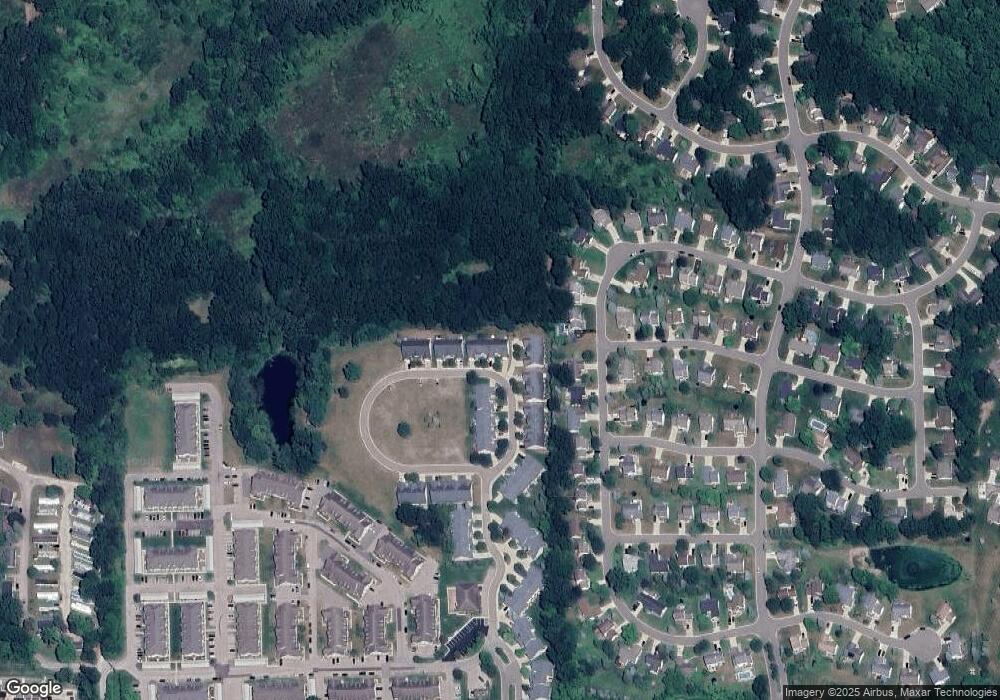
Map
Nearby Homes
- 2511 Kerria Dr Unit 42
- 1570 Princewood Blvd
- 1400 Oakcrest Rd
- 1633 Frech Ln
- VACANT LOT Thompson Shore Dr
- 3040 Bogues View Dr
- 304 Victoria Park Dr Unit 45
- 2500 Fisher Rd
- 1773 Welland St
- 559 Cannonade Loop
- 475 Cannonade Loop
- Howden A Plan at Howden Meadows
- Howden B Plan at Howden Meadows
- 571 Cannonade Loop
- 523 Cannonade Loop
- 583 Cannonade Loop
- The Austin Plan at Broadmoor
- The Charlotte Plan at Broadmoor
- The Harrison Plan at Broadmoor
- The Bloomington Plan at Broadmoor
- 1698 Sanctuary Cir
- 1704 Sanctuary Cir
- 1704 Sanctuary Cir Unit 36
- 1710 Sanctuary Cir
- 225 Madison Sanctuary Cir
- 1692 Sanctuary Cir
- 1686 Sanctuary Cir
- 1680 Sanctuary Cir
- 1716 Sanctuary Cir
- 1695 Sanctuary Cir Unit 27
- 1695 Sanctuary Cir
- 1674 Sanctuary Cir
- 1722 Sanctuary Cir
- 1661 Sanctuary Cir
- 1661 Sanctuary Cir Unit 26
- 1715 Sanctuary Cir
- 1655 Sanctuary Cir
- 1723 Sanctuary Cir
- 1656 Sanctuary Cir
- 2391 Hickory Circle Dr Unit 79