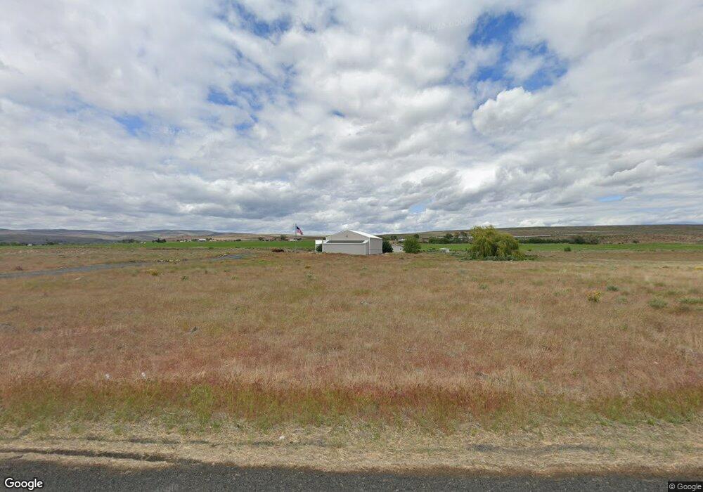
1698 State Highway 28 E Soap Lake, WA 98851
Estimated Value: $362,000 - $703,000
3
Beds
2
Baths
1,672
Sq Ft
$290/Sq Ft
Est. Value
About This Home
This home is located at 1698 State Highway 28 E, Soap Lake, WA 98851 and is currently estimated at $484,667, approximately $289 per square foot. 1698 State Highway 28 E is a home located in Grant County with nearby schools including Soap Lake Elementary School, Soap Lake Middle/High School, and RISE Academy.
Ownership History
Date
Name
Owned For
Owner Type
Purchase Details
Closed on
May 5, 2016
Sold by
Taylor Marie A and Matkin Robert W
Bought by
Matkin Robert W
Current Estimated Value
Home Financials for this Owner
Home Financials are based on the most recent Mortgage that was taken out on this home.
Original Mortgage
$126,000
Outstanding Balance
$100,468
Interest Rate
3.71%
Mortgage Type
New Conventional
Estimated Equity
$384,199
Purchase Details
Closed on
Jan 8, 2016
Sold by
Matkin Jeanne D
Bought by
Matkin Robert W
Purchase Details
Closed on
May 18, 2005
Sold by
Smith Lois J
Bought by
Matkin Robert W and Matkin Jeanne D
Create a Home Valuation Report for This Property
The Home Valuation Report is an in-depth analysis detailing your home's value as well as a comparison with similar homes in the area
Home Values in the Area
Average Home Value in this Area
Purchase History
| Date | Buyer | Sale Price | Title Company |
|---|---|---|---|
| Matkin Robert W | -- | Frontier Title & Escrow | |
| Matkin Robert W | -- | Frontier Title & Escrow | |
| Matkin Robert W | $132,000 | Chicago Title Ins Co |
Source: Public Records
Mortgage History
| Date | Status | Borrower | Loan Amount |
|---|---|---|---|
| Open | Matkin Robert W | $126,000 |
Source: Public Records
Tax History Compared to Growth
Tax History
| Year | Tax Paid | Tax Assessment Tax Assessment Total Assessment is a certain percentage of the fair market value that is determined by local assessors to be the total taxable value of land and additions on the property. | Land | Improvement |
|---|---|---|---|---|
| 2024 | $3,472 | $366,969 | $81,650 | $285,319 |
| 2023 | $2,835 | $254,355 | $36,800 | $217,555 |
| 2022 | $2,498 | $254,355 | $36,800 | $217,555 |
| 2021 | $2,268 | $254,355 | $36,800 | $217,555 |
| 2020 | $1,950 | $222,320 | $36,800 | $185,520 |
| 2019 | $1,779 | $180,755 | $36,800 | $143,955 |
| 2018 | $2,458 | $197,830 | $50,000 | $147,830 |
| 2017 | $2,347 | $188,125 | $42,500 | $145,625 |
| 2016 | $954 | $73,540 | $50,000 | $23,540 |
| 2013 | -- | $166,955 | $50,000 | $116,955 |
Source: Public Records
Map
Nearby Homes
- 0 Thomas Dr NE
- 19627 Road A NE
- 2866 Road 20 NE
- 0 NNA Division 4 Rd NE
- 1569 Rd 3rd Ave NE
- 215 Elder St N
- 1569 Road 19 NE
- 19014 A 5
- 0 Washington 17
- 1176 Washington 28
- 453 5th Ave SE
- 242 5th Ave SE
- 21190 NE Division 4 Rd
- 21058 State Highway 17 N
- 315 Buttercup St S
- 323 Buttercup St S
- 134 4th Ave SE
- 0 Parcel 161930000 Unit NWM2364296
- 115 4th Ave SE
- 715 Buttercup St S
- 1608 State Highway 28 E
- 1608 E Hwy 28
- 1608 Washington 28
- 0 Road 19 3 NE Unit 328509
- 1536 State Highway 28 E
- 1536 Washington 28
- 1476 Thomas Dr NE
- 1481 Thomas Rd NE
- 2015 Washington 28
- 1361 Thomas Dr NE
- 2015 State Highway 28 E
- 1350 Thomas Dr NE
- 1304 Thomas Rd NE
- 2020 Road 20 NE
- 2020 NE 20
- 1290 State Highway 28 E
- 1956 Road 20 NE
- 19957 Road A.8 NE
- 1253 Thomas Rd NE
- 1220 Thomas Dr NE