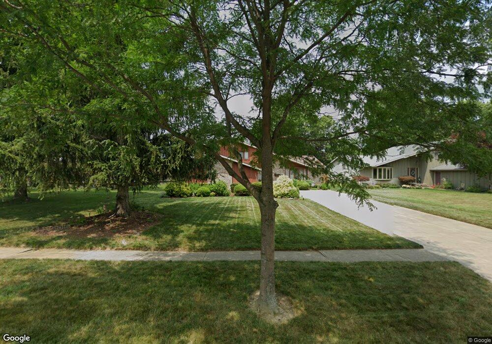
16983 Deer Path Dr Strongsville, OH 44136
Estimated Value: $354,000 - $421,000
4
Beds
3
Baths
2,660
Sq Ft
$143/Sq Ft
Est. Value
About This Home
This home is located at 16983 Deer Path Dr, Strongsville, OH 44136 and is currently estimated at $379,938, approximately $142 per square foot. 16983 Deer Path Dr is a home located in Cuyahoga County with nearby schools including Strongsville High School and Sts Joseph & John Interparochial School.
Ownership History
Date
Name
Owned For
Owner Type
Purchase Details
Closed on
Oct 15, 2002
Sold by
Maclellan Thomas E and Maclellan Rita M
Bought by
Maclellan Thomas E and Maclellan Rita M
Current Estimated Value
Purchase Details
Closed on
Jul 6, 1977
Bought by
Maclellan Thomas E
Purchase Details
Closed on
May 21, 1976
Bought by
M G Quality Homes Inc
Purchase Details
Closed on
Jan 1, 1976
Bought by
Erie Shores Dev Co Inc
Create a Home Valuation Report for This Property
The Home Valuation Report is an in-depth analysis detailing your home's value as well as a comparison with similar homes in the area
Home Values in the Area
Average Home Value in this Area
Purchase History
| Date | Buyer | Sale Price | Title Company |
|---|---|---|---|
| Maclellan Thomas E | -- | -- | |
| Maclellan Thomas E | $72,100 | -- | |
| M G Quality Homes Inc | -- | -- | |
| Erie Shores Dev Co Inc | -- | -- |
Source: Public Records
Tax History Compared to Growth
Tax History
| Year | Tax Paid | Tax Assessment Tax Assessment Total Assessment is a certain percentage of the fair market value that is determined by local assessors to be the total taxable value of land and additions on the property. | Land | Improvement |
|---|---|---|---|---|
| 2024 | $4,233 | $99,960 | $22,330 | $77,630 |
| 2023 | $3,971 | $72,590 | $18,830 | $53,760 |
| 2022 | $3,968 | $72,590 | $18,830 | $53,760 |
| 2021 | $3,937 | $72,590 | $18,830 | $53,760 |
| 2020 | $3,538 | $59,500 | $15,440 | $44,070 |
| 2019 | $3,435 | $170,000 | $44,100 | $125,900 |
| 2018 | $3,117 | $59,500 | $15,440 | $44,070 |
| 2017 | $3,158 | $56,360 | $12,430 | $43,930 |
| 2016 | $3,133 | $56,360 | $12,430 | $43,930 |
| 2015 | $3,177 | $56,360 | $12,430 | $43,930 |
| 2014 | $3,177 | $56,360 | $12,430 | $43,930 |
Source: Public Records
Map
Nearby Homes
- 17024 Bear Creek Ln
- 17069 Partridge Dr
- 17682 Drake Rd
- 18162 Fawn Cir
- 18294 Drake Rd
- 17159 Turkey Meadow Ln
- 16650 Lanier Ave
- 17934 Cambridge Oval
- 19311 Bradford Ct
- 18411 Yorktown Oval
- 18630 Shurmer Rd
- 19297 Lauren Way
- 17259 Woodshire Dr
- 16486 S Red Rock Dr
- 16450 Howe Rd
- 17130 Golden Star Dr
- 15639 Indianhead Ln
- 20393 Wildwood Ln
- 19513 Lunn Rd
- 18848 Pearl Rd
- 16985 Deer Path Dr
- 16981 Deer Path Dr
- 16987 Deer Path Dr
- 16979 Deer Path Dr
- 16036 Squirrel Hollow Ln
- 16038 Squirrel Hollow Ln
- 16034 Squirrel Hollow Ln
- 16972 Deer Path Dr
- 16989 Deer Path Dr
- 16977 Deer Path Dr
- 16974 Deer Path Dr
- 16040 Squirrel Hollow Ln
- 16976 Deer Path Dr
- 16032 Squirrel Hollow Ln
- 16978 Deer Path Dr
- 16991 Deer Path Dr
- 16970 Bear Creek Ln
- 16975 Deer Path Dr
- 16042 Squirrel Hollow Ln
- 16963 Bear Creek Ln