Estimated Value: $189,986 - $327,000
3
Beds
1
Bath
1,620
Sq Ft
$151/Sq Ft
Est. Value
About This Home
This home is located at 16985 E 507 Rd, Jay, OK 74346 and is currently estimated at $244,497, approximately $150 per square foot. 16985 E 507 Rd is a home located in Delaware County with nearby schools including Colcord Elementary School and Colcord High School.
Ownership History
Date
Name
Owned For
Owner Type
Purchase Details
Closed on
May 28, 2021
Sold by
Eubanks Brian L
Bought by
Davis Kyle Wayne and Davis Cheyene Rochelle
Current Estimated Value
Home Financials for this Owner
Home Financials are based on the most recent Mortgage that was taken out on this home.
Original Mortgage
$20,000
Outstanding Balance
$11,723
Interest Rate
2.27%
Mortgage Type
New Conventional
Estimated Equity
$232,774
Purchase Details
Closed on
Feb 17, 2017
Sold by
Potter Christopher C and Potter Candice
Bought by
Eubanks Brian L
Home Financials for this Owner
Home Financials are based on the most recent Mortgage that was taken out on this home.
Original Mortgage
$88,040
Interest Rate
4.2%
Mortgage Type
New Conventional
Create a Home Valuation Report for This Property
The Home Valuation Report is an in-depth analysis detailing your home's value as well as a comparison with similar homes in the area
Purchase History
| Date | Buyer | Sale Price | Title Company |
|---|---|---|---|
| Davis Kyle Wayne | $140,000 | First American Title Ins Co | |
| Eubanks Brian L | $81,500 | Grand River Abstract & Title |
Source: Public Records
Mortgage History
| Date | Status | Borrower | Loan Amount |
|---|---|---|---|
| Open | Davis Kyle Wayne | $20,000 | |
| Open | Davis Kyle Wayne | $127,696 | |
| Previous Owner | Eubanks Brian L | $88,040 |
Source: Public Records
Tax History Compared to Growth
Tax History
| Year | Tax Paid | Tax Assessment Tax Assessment Total Assessment is a certain percentage of the fair market value that is determined by local assessors to be the total taxable value of land and additions on the property. | Land | Improvement |
|---|---|---|---|---|
| 2025 | $1,561 | $17,379 | $1,827 | $15,552 |
| 2024 | $1,455 | $16,100 | $1,150 | $14,950 |
| 2023 | $1,455 | $16,100 | $1,150 | $14,950 |
| 2022 | $1,458 | $16,100 | $1,150 | $14,950 |
| 2021 | $852 | $9,303 | $1,150 | $8,153 |
| 2020 | $849 | $9,290 | $1,150 | $8,140 |
| 2019 | $845 | $9,303 | $1,150 | $8,153 |
Source: Public Records
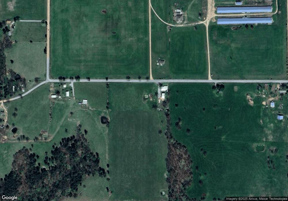
Map
Nearby Homes
- 0 0642 Unit 2533082
- TBD 0642 Rd
- S 655 Rd
- 0 S 655 Rd Unit 1330142
- . S 655 Rd
- 191 W Senior St
- 887 N Colcord Keithly Rd
- 168 E Doughty St
- 180 E Doughty St
- 19037 County Road 502
- 48751 County Road 642
- 0 S 680 Rd Unit 2526332
- 0000 E 495 Rd
- 000 E 495 Rd
- 20125 County Road 500
- TBD Hwy 59
- 0 S 630 Rd
- TBD S 630 Rd
- 52721 S 630 Rd
- 000 E 49 5 Rd
- 17239 E 507 Rd
- 17041 County Rd 504 A
- 17041 County Rd 504 B
- 50631 County Road 642
- 50927 County Road 627
- 50904 County Road 627
- 50904 Cr 627
- 0 W Madill Rd Unit 437016
- 0 W Madill Rd Unit 710827
- TBD W Madill Rd
- 50892 County Road 627
- 1423 N Colcord Ave
- 251 Row Rd
- 236 W Madill Rd
- 674 W Swicegood Rd
- 2071 N Colcord Ave
- 168 W Madill Rd
- 0 Box (Cherry St)
- Rt ---
- Rt. Box