Estimated Value: $108,442 - $239,000
3
Beds
2
Baths
1,359
Sq Ft
$113/Sq Ft
Est. Value
About This Home
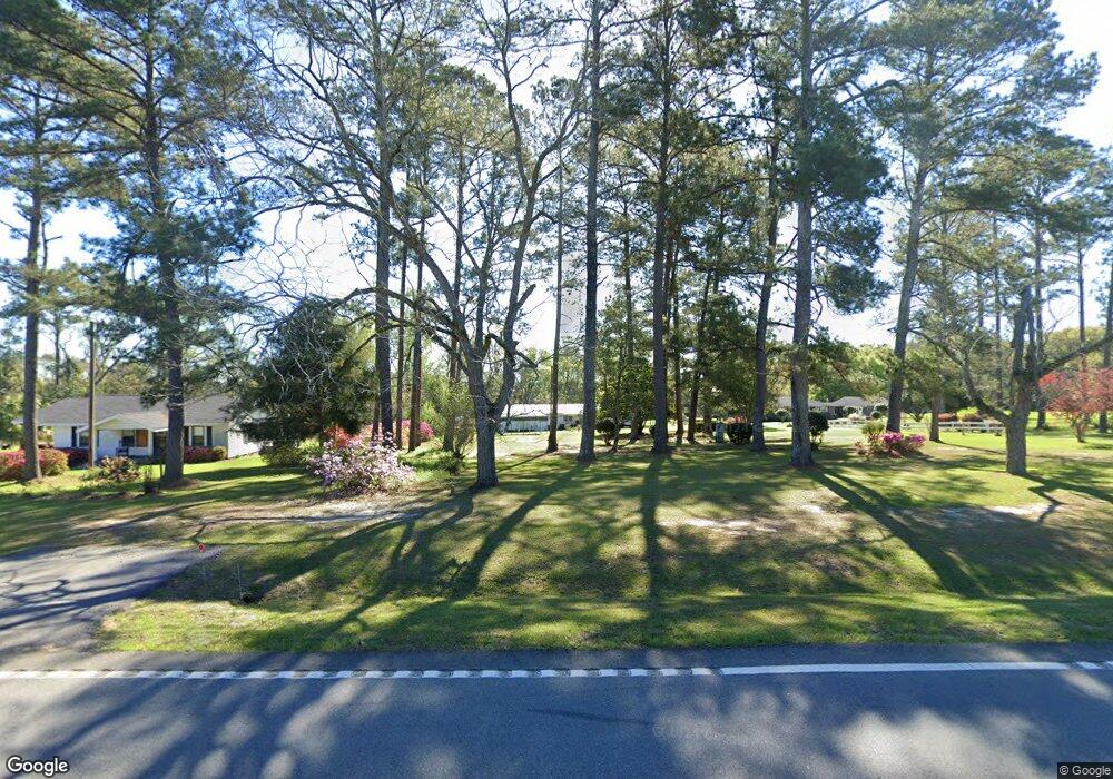
This home is located at 1699 Ga Highway 111 S, Cairo, GA 39828 and is currently estimated at $153,111, approximately $112 per square foot. 1699 Ga Highway 111 S is a home located in Grady County with nearby schools including Cairo High School.
Ownership History
Date
Name
Owned For
Owner Type
Purchase Details
Closed on
Apr 25, 2005
Sold by
Dixon Lenoria F
Bought by
Jones John L and Jones Minnie
Current Estimated Value
Home Financials for this Owner
Home Financials are based on the most recent Mortgage that was taken out on this home.
Original Mortgage
$68,000
Interest Rate
5.98%
Mortgage Type
New Conventional
Purchase Details
Closed on
Feb 5, 1999
Sold by
Cook Lois W
Bought by
Dixon Lenoria F
Purchase Details
Closed on
Apr 27, 1984
Bought by
Cook Lois W
Create a Home Valuation Report for This Property
The Home Valuation Report is an in-depth analysis detailing your home's value as well as a comparison with similar homes in the area
Home Values in the Area
Average Home Value in this Area
Purchase History
| Date | Buyer | Sale Price | Title Company |
|---|---|---|---|
| Jones John L | $78,000 | -- | |
| Dixon Lenoria F | $43,000 | -- | |
| Cook Lois W | -- | -- |
Source: Public Records
Mortgage History
| Date | Status | Borrower | Loan Amount |
|---|---|---|---|
| Closed | Jones John L | $68,000 |
Source: Public Records
Tax History Compared to Growth
Tax History
| Year | Tax Paid | Tax Assessment Tax Assessment Total Assessment is a certain percentage of the fair market value that is determined by local assessors to be the total taxable value of land and additions on the property. | Land | Improvement |
|---|---|---|---|---|
| 2024 | $1,097 | $37,650 | $4,600 | $33,050 |
| 2023 | $799 | $27,947 | $3,456 | $24,491 |
| 2022 | $799 | $27,947 | $3,456 | $24,491 |
| 2021 | $801 | $27,947 | $3,456 | $24,491 |
| 2020 | $804 | $27,947 | $3,456 | $24,491 |
| 2019 | $804 | $27,947 | $3,456 | $24,491 |
| 2018 | $755 | $27,947 | $3,456 | $24,491 |
| 2017 | $718 | $27,947 | $3,456 | $24,491 |
| 2016 | $635 | $24,784 | $3,456 | $21,328 |
| 2015 | $627 | $24,784 | $3,456 | $21,328 |
| 2014 | $628 | $24,784 | $3,456 | $21,328 |
| 2013 | -- | $23,958 | $4,050 | $19,908 |
Source: Public Records
Map
Nearby Homes
- 490 13th St SW
- 786 Madison Ln
- 1385 Martin Luther King Junior Ave
- 425 8th St SW
- 109 Oriac Ave SW
- 320 8th St SW
- 117 Pine Cir SW
- 7501 111 S
- 112 Pine Cir SW
- 000 1st Ave SW
- 460 2nd St SW
- 720 1st St SW
- 117 6th St SW
- 130 17th Ave SE
- 1193 S Broad St
- 75 14th Ave SE
- 27 6th Ave SW
- 000 Hwy 111 South 20 59 Acres
- 40 5th Ave SW
- 270 Muggridge Ln
- 1707 Ga Highway 111 S
- 1687 Ga Highway 111 S
- 1663 Ga Highway 111 S
- 1748 Ga Highway 111 S
- 1788 Ga Highway 111 S
- 1804 Ga Highway 111 S
- 1823 Ga Highway 111 S
- 1838 Ga Highway 111 S
- 1854 Ga Highway 111 S
- 1870 Ga Highway 111 S
- 1886 Ga Highway 111 S
- 1880 Ga Highway 111 S
- 1924 Ga Highway 111 S
- 288 Wight Rd
- 1940 Ga Highway 111 S
- 306 Wight Rd
- 238 Perrys Rd
- 227 Perrys Rd
- 338 Wight Rd
- 408 Wight Rd