1699 Queensbury Cir Unit 5092 Hoffman Estates, IL 60169
South Hoffman Estates NeighborhoodEstimated Value: $254,377 - $273,000
3
Beds
2
Baths
1,100
Sq Ft
$240/Sq Ft
Est. Value
About This Home
This home is located at 1699 Queensbury Cir Unit 5092, Hoffman Estates, IL 60169 and is currently estimated at $264,344, approximately $240 per square foot. 1699 Queensbury Cir Unit 5092 is a home located in Cook County with nearby schools including John Muir Literacy Academy, Dwight D Eisenhower Junior High School, and Hoffman Estates High School.
Ownership History
Date
Name
Owned For
Owner Type
Purchase Details
Closed on
Nov 1, 2023
Sold by
Adkins Jerry and Adkins Susan
Bought by
Kumar Praveen and Kumar Prasanna
Current Estimated Value
Home Financials for this Owner
Home Financials are based on the most recent Mortgage that was taken out on this home.
Original Mortgage
$168,750
Outstanding Balance
$165,845
Interest Rate
7.57%
Mortgage Type
New Conventional
Estimated Equity
$98,499
Create a Home Valuation Report for This Property
The Home Valuation Report is an in-depth analysis detailing your home's value as well as a comparison with similar homes in the area
Home Values in the Area
Average Home Value in this Area
Purchase History
| Date | Buyer | Sale Price | Title Company |
|---|---|---|---|
| Kumar Praveen | $225,000 | None Listed On Document |
Source: Public Records
Mortgage History
| Date | Status | Borrower | Loan Amount |
|---|---|---|---|
| Open | Kumar Praveen | $168,750 |
Source: Public Records
Tax History Compared to Growth
Tax History
| Year | Tax Paid | Tax Assessment Tax Assessment Total Assessment is a certain percentage of the fair market value that is determined by local assessors to be the total taxable value of land and additions on the property. | Land | Improvement |
|---|---|---|---|---|
| 2024 | $3,702 | $15,382 | $3,929 | $11,453 |
| 2023 | $3,552 | $15,382 | $3,929 | $11,453 |
| 2022 | $3,552 | $15,382 | $3,929 | $11,453 |
| 2021 | $2,904 | $11,998 | $6,188 | $5,810 |
| 2020 | $2,911 | $11,998 | $6,188 | $5,810 |
| 2019 | $2,919 | $13,398 | $6,188 | $7,210 |
| 2018 | $1,469 | $7,940 | $5,402 | $2,538 |
| 2017 | $1,462 | $7,940 | $5,402 | $2,538 |
| 2016 | $1,622 | $7,940 | $5,402 | $2,538 |
| 2015 | $1,164 | $6,249 | $4,714 | $1,535 |
| 2014 | $1,161 | $6,249 | $4,714 | $1,535 |
| 2013 | $1,113 | $6,249 | $4,714 | $1,535 |
Source: Public Records
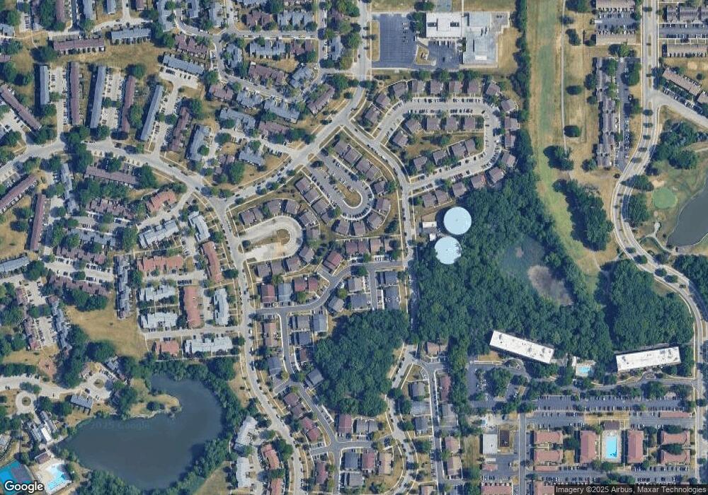
Map
Nearby Homes
- 1685 Cornell Dr
- 1808 Fayette Walk Unit H
- 1672 Cornell Dr
- 1763 Bristol Walk Unit 1763
- 1475 Rebecca Dr Unit 217
- 1840 Huntington Blvd Unit 415
- 1840 Huntington Blvd Unit 412
- 1375 Rebecca Dr Unit 318
- 1800 Huntington Blvd Unit AE615
- 1862 Stockton Dr Unit 3283
- 1704 Fayette Walk Unit B
- 1886 Stockton Dr Unit 3253
- 1956 Georgetown Ln Unit 4
- 1925 Georgetown Ln Unit 4
- 1854 Huntington Blvd Unit C
- 2230 Stratham Place
- 1738 Ardwick Dr
- 1415 N Oakmont Rd
- 1698 Pebble Beach Dr
- 1940 Kenilworth Cir Unit D
- 1699 Queensbury Cir Unit 5902
- 1701 Queensbury Cir Unit 5903
- 1697 Queensbury Cir Unit 5901
- 1703 Queensbury Cir Unit 5904
- 1691 Queensbury Cir Unit 5892
- 1689 Queensbury Cir Unit 5891
- 1693 Queensbury Cir Unit 5893
- 1695 Queensbury Cir Unit 5894
- 1705 Queensbury Cir Unit 5911
- 1705 Queensbury Cir Unit 5773
- 1711 Queensbury Cir Unit 5914
- 1683 Queensbury Cir Unit 5882
- 1681 Queensbury Cir
- 1682 Queensbury Cir Unit 5871
- 1700 Queensbury Cir Unit 5862
- 1700 Queensbury Cir Unit 1700
- 1688 Queensbury Cir Unit 5874
- 1702 Queensbury Cir Unit 5863
- 1685 Queensbury Cir Unit 5883
- 1704 Queensbury Cir Unit 5864