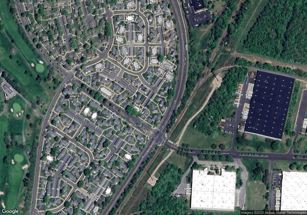
169A Portland Ln Monroe Township, NJ 08831
Estimated Value: $256,000 - $331,000
2
Beds
2
Baths
1,256
Sq Ft
$231/Sq Ft
Est. Value
About This Home
This home is located at 169A Portland Ln, Monroe Township, NJ 08831 and is currently estimated at $290,042, approximately $230 per square foot. 169A Portland Ln is a home located in Middlesex County with nearby schools including Oak Tree Elementary School, Monroe Township Middle School, and Monroe Township High School.
Ownership History
Date
Name
Owned For
Owner Type
Purchase Details
Closed on
Oct 18, 2022
Sold by
Simonitis Thomas
Bought by
Baier Allison K
Current Estimated Value
Purchase Details
Closed on
Oct 6, 2017
Sold by
Volkman Irne
Bought by
Simontis Thomas and Simontis Amry
Purchase Details
Closed on
Feb 25, 1999
Sold by
Molnar Barbara
Bought by
Dunham Katherine
Create a Home Valuation Report for This Property
The Home Valuation Report is an in-depth analysis detailing your home's value as well as a comparison with similar homes in the area
Home Values in the Area
Average Home Value in this Area
Purchase History
| Date | Buyer | Sale Price | Title Company |
|---|---|---|---|
| Baier Allison K | $235,000 | -- | |
| Baier Allison K | $235,000 | None Listed On Document | |
| Simontis Thomas | $140,000 | Two Rivers Title Co Llc | |
| Dunham Katherine | $92,000 | -- |
Source: Public Records
Tax History Compared to Growth
Tax History
| Year | Tax Paid | Tax Assessment Tax Assessment Total Assessment is a certain percentage of the fair market value that is determined by local assessors to be the total taxable value of land and additions on the property. | Land | Improvement |
|---|---|---|---|---|
| 2025 | $2,004 | $69,300 | $22,000 | $47,300 |
| 2024 | $1,935 | $69,300 | $22,000 | $47,300 |
| 2023 | $1,935 | $69,300 | $22,000 | $47,300 |
| 2022 | $1,900 | $69,300 | $22,000 | $47,300 |
| 2021 | $1,892 | $69,300 | $22,000 | $47,300 |
| 2020 | $1,892 | $69,300 | $22,000 | $47,300 |
| 2019 | $1,848 | $69,300 | $22,000 | $47,300 |
| 2018 | $1,828 | $69,300 | $22,000 | $47,300 |
| 2017 | $1,800 | $69,300 | $22,000 | $47,300 |
| 2016 | $1,772 | $69,300 | $22,000 | $47,300 |
| 2015 | $1,728 | $69,300 | $22,000 | $47,300 |
| 2014 | $1,667 | $69,300 | $22,000 | $47,300 |
Source: Public Records
Map
Nearby Homes
- 176A Rossmoor Dr Unit C
- 176A Rossmoor Dr
- 179 Rossmoor Dr Unit H
- 197N Mayflower Way Unit B
- 379 Old Nassau Rd Unit B
- 158B Pelham Ln Unit B
- 335 Old Nassau Rd
- 117 Old Nassau Rd Unit C
- 137 Plymouth Ln
- 120 Rossmoor Dr Unit N
- 236 Marblehead Ln Unit B
- 214 Mayflower Way Unit A
- 219 Manchester Ln Unit N
- 220N Manchester Ln Unit C
- 138 Plymouth Ln Unit A
- 239 Mayflower Way Unit A
- 98 Glenwood Ln Unit N
- 95 Gloucester Way Unit O
- 103 Gloucester Way
- 251A Mystic Ln Unit D
- 169C Portland Ln
- 169C Portland Ln Unit 169C
- 169C Portland Ln
- 168C Portland Ln Unit C
- 171C Rossmoor Dr
- 168B Portland Ln Unit B
- 168N Portland Ln
- 170B Rossmoor Dr
- 168A Portland Ln
- 170A Rossmoor Dr
- 174 Portland Ln Unit 174A
- 171A Rossmoor Dr
- 170C Rossmoor Dr
- 170N Rossmoor Dr
- 172A Rossmoor Dr
- 173A Prescott Ln
- 167N Portland Ln
- 172C Rossmoor Dr
- 174C Portland Ln
- 173C Prescott Ln
