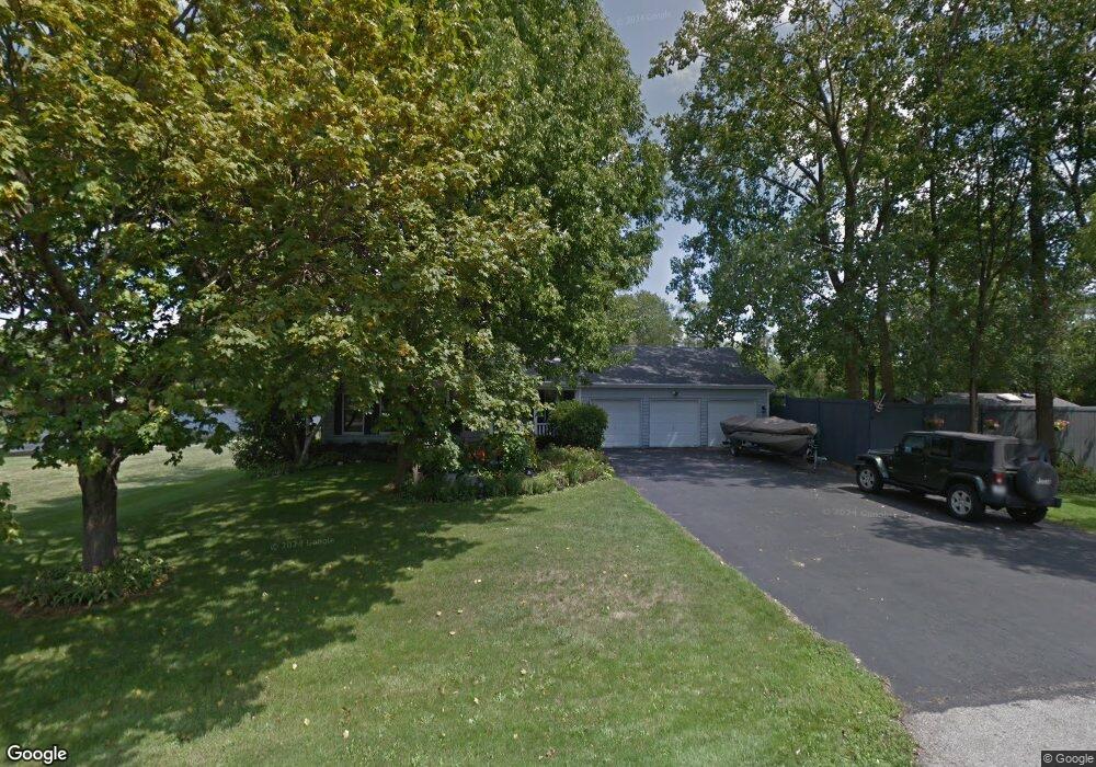
16N525 Richmond Rd Dundee, IL 60118
Estimated Value: $482,000 - $570,000
4
Beds
3
Baths
2,468
Sq Ft
$211/Sq Ft
Est. Value
About This Home
This home is located at 16N525 Richmond Rd, Dundee, IL 60118 and is currently estimated at $521,480, approximately $211 per square foot. 16N525 Richmond Rd is a home located in Kane County with nearby schools including Liberty Elementary School, Dundee Middle School, and Harry D Jacobs High School.
Ownership History
Date
Name
Owned For
Owner Type
Purchase Details
Closed on
Jun 4, 2004
Sold by
Laporte Jay R and Laporte Donna
Bought by
Keith Jon W and Keith Karen E
Current Estimated Value
Home Financials for this Owner
Home Financials are based on the most recent Mortgage that was taken out on this home.
Original Mortgage
$180,000
Outstanding Balance
$35,042
Interest Rate
2.62%
Mortgage Type
Purchase Money Mortgage
Estimated Equity
$486,438
Create a Home Valuation Report for This Property
The Home Valuation Report is an in-depth analysis detailing your home's value as well as a comparison with similar homes in the area
Home Values in the Area
Average Home Value in this Area
Purchase History
| Date | Buyer | Sale Price | Title Company |
|---|---|---|---|
| Keith Jon W | $330,000 | Chicago Title Insurance Comp |
Source: Public Records
Mortgage History
| Date | Status | Borrower | Loan Amount |
|---|---|---|---|
| Open | Keith Jon W | $180,000 |
Source: Public Records
Tax History Compared to Growth
Tax History
| Year | Tax Paid | Tax Assessment Tax Assessment Total Assessment is a certain percentage of the fair market value that is determined by local assessors to be the total taxable value of land and additions on the property. | Land | Improvement |
|---|---|---|---|---|
| 2024 | $10,710 | $164,566 | $44,007 | $120,559 |
| 2023 | $10,234 | $148,071 | $39,596 | $108,475 |
| 2022 | $8,843 | $124,086 | $32,273 | $91,813 |
| 2021 | $8,585 | $117,162 | $30,472 | $86,690 |
| 2020 | $8,425 | $114,528 | $29,787 | $84,741 |
| 2019 | $8,200 | $108,722 | $28,277 | $80,445 |
| 2018 | $9,454 | $120,022 | $52,355 | $67,667 |
| 2017 | $9,073 | $112,275 | $48,976 | $63,299 |
| 2016 | $9,325 | $108,710 | $47,421 | $61,289 |
| 2015 | -- | $101,865 | $44,435 | $57,430 |
| 2014 | -- | $99,052 | $43,208 | $55,844 |
| 2013 | -- | $102,084 | $44,531 | $57,553 |
Source: Public Records
Map
Nearby Homes
- 2622 Chesire Ct
- 2622 Wessex Dr
- 506 Stevens Ct
- 1601 Higgins Rd
- 616 Joy Ln Unit 15
- 105 Harvest Ln
- 225 Settlers Place
- Chatham Plan at Harvest View
- 231 Settlers Place
- Amherst Plan at Harvest View
- Chelsea Plan at Harvest View
- 205 Settlers Place
- 201 Settlers Place
- 203 Settlers Place
- 1149 Gail Ln
- 233 Settlers Place
- 239 Settlers Place
- 235 Settlers Place
- 237 Settlers Place
- 103 Harvest Ln
- 36W651 Richmond Rd
- 36W630 Richmond Rd
- 36W659 Richmond Rd
- 16N585 Sumter Dr
- 36W691 Richmond Rd
- 16N625 Merriweather Ln
- 16N560 Sumter Dr
- 16N594 Oaks Ln
- 36W721 Richmond Rd
- 16N630 Oaks Ln
- 16N655 Merriweather Ln
- 36W739 Richmond Rd
- 36W730 Richmond Rd
- 16N673 Merriweather Ln
- 16N650 Oaks Ln
- 2953 Exeter Ct
- 16N590 Sumter Dr
- 16N670 Merriweather Ln
- 2949 Exeter Ct
- 16N664 Sumter Dr