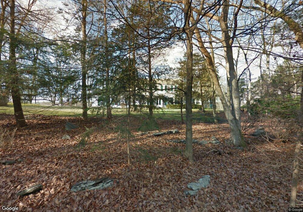
17 12 O Clock Rd Weston, CT 06883
Estimated Value: $1,180,000 - $1,624,000
3
Beds
3
Baths
2,525
Sq Ft
$526/Sq Ft
Est. Value
About This Home
This home is located at 17 12 O Clock Rd, Weston, CT 06883 and is currently estimated at $1,328,225, approximately $526 per square foot. 17 12 O Clock Rd is a home located in Fairfield County with nearby schools including Hurlbutt Elementary School, Weston Intermediate School, and Weston Middle School.
Ownership History
Date
Name
Owned For
Owner Type
Purchase Details
Closed on
Apr 4, 1997
Sold by
Bonser May
Bought by
Peake Andrew and Peake Kuei Ying
Current Estimated Value
Home Financials for this Owner
Home Financials are based on the most recent Mortgage that was taken out on this home.
Original Mortgage
$300,000
Outstanding Balance
$37,470
Interest Rate
7.5%
Mortgage Type
Unknown
Estimated Equity
$1,290,755
Create a Home Valuation Report for This Property
The Home Valuation Report is an in-depth analysis detailing your home's value as well as a comparison with similar homes in the area
Home Values in the Area
Average Home Value in this Area
Purchase History
| Date | Buyer | Sale Price | Title Company |
|---|---|---|---|
| Peake Andrew | $515,000 | -- |
Source: Public Records
Mortgage History
| Date | Status | Borrower | Loan Amount |
|---|---|---|---|
| Open | Peake Andrew | $300,000 |
Source: Public Records
Tax History Compared to Growth
Tax History
| Year | Tax Paid | Tax Assessment Tax Assessment Total Assessment is a certain percentage of the fair market value that is determined by local assessors to be the total taxable value of land and additions on the property. | Land | Improvement |
|---|---|---|---|---|
| 2025 | $15,663 | $655,340 | $267,820 | $387,520 |
| 2024 | $15,381 | $655,340 | $267,820 | $387,520 |
| 2023 | $15,527 | $469,670 | $267,820 | $201,850 |
| 2022 | $15,485 | $469,670 | $267,820 | $201,850 |
| 2021 | $15,462 | $469,670 | $267,820 | $201,850 |
| 2020 | $15,203 | $469,670 | $267,820 | $201,850 |
| 2019 | $15,203 | $469,670 | $267,820 | $201,850 |
| 2018 | $15,007 | $510,600 | $302,400 | $208,200 |
| 2017 | $14,761 | $510,600 | $302,400 | $208,200 |
| 2016 | $14,583 | $510,600 | $302,400 | $208,200 |
| 2015 | $14,685 | $510,600 | $302,400 | $208,200 |
| 2014 | $14,419 | $510,600 | $302,400 | $208,200 |
Source: Public Records
Map
Nearby Homes
- 64 Old Redding Rd
- 4 Colony Rd
- 29 Old Stage Coach Rd
- 3 Mayflower Ln
- 191 Steep Hill Rd
- 198 Steep Hill Rd
- 262 Lyons Plain Rd
- 260 Lyons Plain Rd
- 8 Messex Ln
- 18 Wells Hill Rd
- 90 Redding Rd
- 111 & 115 Old Easton Turnpike
- 85-95 Old Easton Turnpike
- 5 Walker Ln
- 0 Old Easton Turnpike
- 354 Black Rock Turnpike
- 80 Norton Rd
- 225 Good Hill Rd
- 18 Cardinal Rd
- 100 E Common Rd
- 18 12 O Clock Rd
- 14 12 O Clock Rd
- 14 12 O Clock Rd
- 45 Kellogg Hill Rd
- 63 High Noon Rd
- 39 Kellogg Hill Rd
- 64 High Noon Rd
- 1 Aspetuck Hill Ln
- 0 Aspetuck Hill Ln Unit 170117891
- 0 Aspetuck Hill Ln
- 0 Aspetuck Hill Ln
- 0 Aspetuck Hill Ln Unit 170470024
- 0 Aspetuck Hill Ln Unit Package 170219437
- 0 Aspetuck Hill Ln Unit 170219433
- 0 Aspetuck Hill Ln Unit 170117843
- 61 High Noon Rd
- 62 High Noon Rd
- 35 Kellogg Hill Rd
- 40 Kellogg Hill Rd
- 47 Kellogg Hill Rd