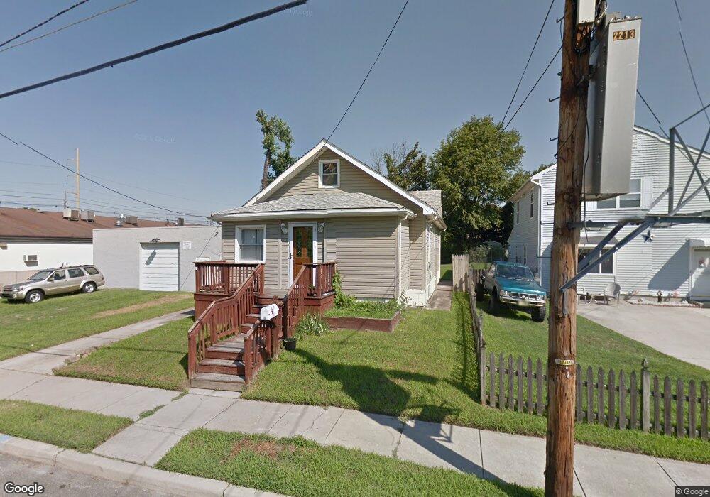
17 12th Ave Glendora, NJ 08029
Estimated Value: $255,000 - $311,000
About This Home
This home is located at 17 12th Ave, Glendora, NJ 08029 and is currently estimated at $284,504, approximately $202 per square foot. 17 12th Ave is a home located in Camden County with nearby schools including Glen Landing Middle School, Triton High School, and St. Teresa Regional School.
Ownership History
We collect this data history from publicly available records. To have your information removed, we recommend requesting removal directly through your county’s website.
Purchase Details
Home Financials for this Owner
Home Financials are based on the most recent Mortgage that was taken out on this home.Purchase Details
Purchase Details
Home Financials for this Owner
Home Financials are based on the most recent Mortgage that was taken out on this home.Home Values in the Area
Average Home Value in this Area
Purchase History
We collect this data history from publicly available records. To have your information removed, we recommend requesting removal directly through your county’s website.
| Date | Buyer | Sale Price | Title Company |
|---|---|---|---|
| $225,000 | Freedom Title & Abstract | ||
| $225,000 | Freedom Title & Abstract | ||
| $128,000 | Endurance Abstract Llc | ||
| $89,900 | -- |
Mortgage History
We collect this data history from publicly available records. To have your information removed, we recommend requesting removal directly through your county’s website.
| Date | Status | Borrower | Loan Amount |
|---|---|---|---|
| Open | $220,924 | ||
| Closed | $220,924 | ||
| Previous Owner | $71,920 |
Tax History
We collect this data history from publicly available records. To have your information removed, we recommend requesting removal directly through your county’s website.
| Year | Tax Paid | Tax Assessment Tax Assessment Total Assessment is a certain percentage of the fair market value that is determined by local assessors to be the total taxable value of land and additions on the property. | Land | Improvement |
|---|---|---|---|---|
| 2025 | $5,449 | $126,700 | $44,800 | $81,900 |
| 2024 | $5,176 | $126,700 | $44,800 | $81,900 |
| 2023 | $5,176 | $126,700 | $44,800 | $81,900 |
| 2022 | $5,148 | $126,700 | $44,800 | $81,900 |
| 2021 | $5,040 | $126,700 | $44,800 | $81,900 |
| 2020 | $5,044 | $126,700 | $44,800 | $81,900 |
| 2019 | $4,932 | $126,700 | $44,800 | $81,900 |
| 2018 | $4,911 | $126,700 | $44,800 | $81,900 |
| 2017 | $5,722 | $126,700 | $44,800 | $81,900 |
| 2016 | $4,647 | $126,700 | $44,800 | $81,900 |
| 2015 | $4,314 | $146,800 | $44,800 | $102,000 |
| 2014 | $4,969 | $146,800 | $44,800 | $102,000 |
Map
- 1100 Central Ave
- 113 12th Ave
- 230 E Evesham Rd Unit C15
- 1313 Saint Mark Dr
- 50 Haverford Rd
- 1050 Woodland Ave
- 3 Whaler Ave
- 328 Keller Rd
- 312 San Pedro Dr
- 21 S Oakland Ave
- 213 Paul Place
- 351 Fayann Ct
- 701 Floodgate Rd
- 83 Johnson Ave
- 110 Lake Ave
- 60 N Oakland Ave
- 2301 Hartford Dr
- 32 Lake Ave
- 129 1st Ave
- 2400 Hartford Dr
- 15 12th Ave
- 25 12th Ave
- 16 13th Ave
- 22 13th Ave
- 30 13th Ave
- 22 12th Ave
- 33 12th Ave
- 12 12th Ave
- 39 12th Ave
- 1217 Central Ave
- 1301 Maple Ave
- 38 12th Ave
- 17 11th Ave
- 11 11th Ave
- 11 13th Ave
- 1300 Maple Ave
- 29 11th Ave
- 1302 N Black Horse Pike Unit A1
- 1302 N Black Horse Pike Unit D9
- 1302 N Black Horse Pike Unit B8
Ask me questions while you tour the home.