Estimated Value: $855,000 - $1,482,000
6
Beds
3
Baths
4,340
Sq Ft
$239/Sq Ft
Est. Value
About This Home
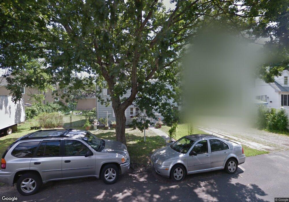
This home is located at 17 4th St, Brick, NJ 08724 and is currently estimated at $1,037,187, approximately $238 per square foot. 17 4th St is a home located in Ocean County with nearby schools including Midstreams Elementary School, Veterans Memorial Middle School, and Brick Township Memorial High School.
Ownership History
Date
Name
Owned For
Owner Type
Purchase Details
Closed on
Aug 27, 2025
Sold by
Thomas Deriso and Thomas Ann De
Bought by
Thomas And Mary Ann De Riso Revocable Trust and De Riso
Current Estimated Value
Purchase Details
Closed on
Dec 12, 2008
Sold by
Mack Terri Ann
Bought by
Deriso Thomas and Deriso Mary Ann
Home Financials for this Owner
Home Financials are based on the most recent Mortgage that was taken out on this home.
Original Mortgage
$280,000
Interest Rate
6.27%
Mortgage Type
Stand Alone First
Purchase Details
Closed on
Jan 18, 2002
Sold by
Lambert Michael
Bought by
Mack Terri
Home Financials for this Owner
Home Financials are based on the most recent Mortgage that was taken out on this home.
Original Mortgage
$219,800
Interest Rate
7.15%
Purchase Details
Closed on
Mar 3, 1994
Sold by
Bank Of New York
Bought by
Lambert Cheryl
Home Financials for this Owner
Home Financials are based on the most recent Mortgage that was taken out on this home.
Original Mortgage
$116,000
Interest Rate
6.9%
Create a Home Valuation Report for This Property
The Home Valuation Report is an in-depth analysis detailing your home's value as well as a comparison with similar homes in the area
Home Values in the Area
Average Home Value in this Area
Purchase History
| Date | Buyer | Sale Price | Title Company |
|---|---|---|---|
| Thomas And Mary Ann De Riso Revocable Trust | -- | None Listed On Document | |
| Deriso Thomas | $445,000 | None Available | |
| Mack Terri | $228,000 | -- | |
| Lambert Cheryl | $119,000 | -- |
Source: Public Records
Mortgage History
| Date | Status | Borrower | Loan Amount |
|---|---|---|---|
| Previous Owner | Deriso Thomas | $280,000 | |
| Previous Owner | Mack Terri | $219,800 | |
| Previous Owner | Lambert Cheryl | $116,000 |
Source: Public Records
Tax History Compared to Growth
Tax History
| Year | Tax Paid | Tax Assessment Tax Assessment Total Assessment is a certain percentage of the fair market value that is determined by local assessors to be the total taxable value of land and additions on the property. | Land | Improvement |
|---|---|---|---|---|
| 2025 | $7,958 | $304,900 | $139,700 | $165,200 |
| 2024 | $7,552 | $304,900 | $139,700 | $165,200 |
| 2023 | $7,443 | $304,900 | $139,700 | $165,200 |
| 2022 | $7,443 | $304,900 | $139,700 | $165,200 |
| 2021 | $7,287 | $304,900 | $139,700 | $165,200 |
| 2020 | $7,193 | $304,900 | $139,700 | $165,200 |
| 2019 | $7,065 | $304,900 | $139,700 | $165,200 |
| 2018 | $6,903 | $304,900 | $139,700 | $165,200 |
| 2017 | $6,717 | $304,900 | $139,700 | $165,200 |
| 2016 | $6,680 | $304,900 | $139,700 | $165,200 |
| 2015 | $6,507 | $304,900 | $139,700 | $165,200 |
| 2014 | $6,642 | $313,900 | $148,700 | $165,200 |
Source: Public Records
Map
Nearby Homes
- 599 Point Ave
- 665 Bancroft Rd
- 648 Point Ave
- 680 Carroll Fox Rd
- 693 Harbor Rd
- 701 Princeton Ave
- 598 Robinhood Rd
- 502 Princeton Ave
- 1608 Osprey Ct
- 101 Sandy Point Dr
- 94 Sandy Point Dr
- 739 Princeton Ave
- 117 Joie Place
- 15 Hidden Harbor Dr
- 125 Northeast Dr
- 80 Jordan Rd
- 1615 Calamus Place
- 2510 Sylvan Dr
- 1663 East Dr
- 173 Cliff Rd
- 624 Princeton Ave
- 622 Princeton Ave
- 620 Princeton Ave
- 626 Princeton Ave
- 18 4th St
- 14 4th St
- 614 Princeton Ave
- 19-23 4th St
- 630 Princeton Ave
- 22 4th St
- 23 4th St
- 612 Princeton Ave
- 619 Princeton Ave
- 617 Princeton Ave
- 621 Princeton Ave
- 615 Princeton Ave
- 611 Parker Ave
- 625 Princeton Ave
- 626 Point Ave
- 632 Princeton Ave