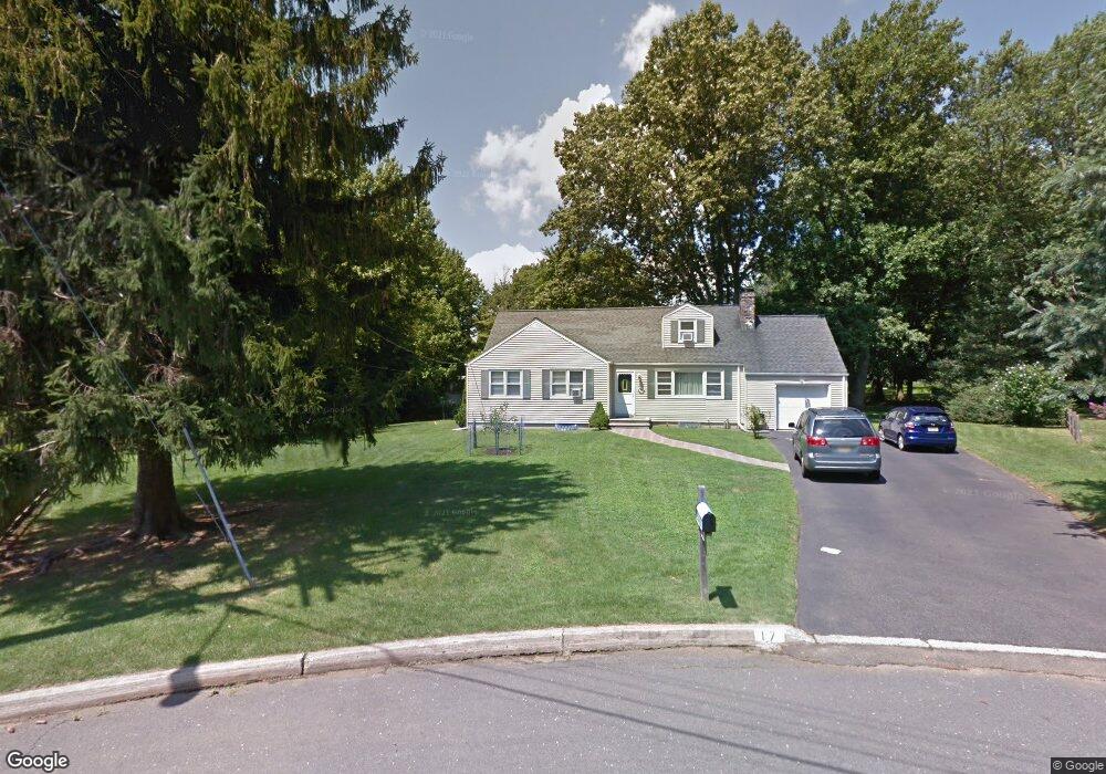
17 Amelia Cir Little Silver, NJ 07739
Estimated Value: $2,044,000 - $2,239,000
4
Beds
2
Baths
4,042
Sq Ft
$529/Sq Ft
Est. Value
About This Home
This home is located at 17 Amelia Cir, Little Silver, NJ 07739 and is currently estimated at $2,136,877, approximately $528 per square foot. 17 Amelia Cir is a home located in Monmouth County with nearby schools including Point Road School, Markham Place School, and Red Bank Regional High School.
Ownership History
Date
Name
Owned For
Owner Type
Purchase Details
Closed on
Oct 31, 2014
Sold by
Hintz David and Hintz Mary
Bought by
Hintz David and Hintz Mary
Current Estimated Value
Purchase Details
Closed on
Jan 7, 2014
Sold by
Cabrera Joseph F and Cabrera Katie
Bought by
Hintz David and Hintz Mary
Home Financials for this Owner
Home Financials are based on the most recent Mortgage that was taken out on this home.
Original Mortgage
$967,000
Outstanding Balance
$727,221
Interest Rate
4.29%
Mortgage Type
Purchase Money Mortgage
Estimated Equity
$1,409,656
Purchase Details
Closed on
May 15, 1998
Sold by
Woodward John
Bought by
Cabrera Joseph and Cabrera Katie
Home Financials for this Owner
Home Financials are based on the most recent Mortgage that was taken out on this home.
Original Mortgage
$204,000
Interest Rate
7.03%
Create a Home Valuation Report for This Property
The Home Valuation Report is an in-depth analysis detailing your home's value as well as a comparison with similar homes in the area
Home Values in the Area
Average Home Value in this Area
Purchase History
| Date | Buyer | Sale Price | Title Company |
|---|---|---|---|
| Hintz David | -- | Multiple | |
| Hintz David | $490,000 | Westcor Land Title Ins Co | |
| Cabrera Joseph | $255,000 | -- |
Source: Public Records
Mortgage History
| Date | Status | Borrower | Loan Amount |
|---|---|---|---|
| Open | Hintz David | $967,000 | |
| Previous Owner | Cabrera Joseph | $204,000 |
Source: Public Records
Tax History Compared to Growth
Tax History
| Year | Tax Paid | Tax Assessment Tax Assessment Total Assessment is a certain percentage of the fair market value that is determined by local assessors to be the total taxable value of land and additions on the property. | Land | Improvement |
|---|---|---|---|---|
| 2025 | $22,931 | $1,884,900 | $765,200 | $1,119,700 |
| 2024 | $22,822 | $1,358,500 | $478,200 | $880,300 |
| 2023 | $22,822 | $1,267,900 | $408,200 | $859,700 |
| 2022 | $21,031 | $1,176,800 | $358,200 | $818,600 |
| 2021 | $21,031 | $1,065,400 | $358,200 | $707,200 |
| 2020 | $20,765 | $1,024,400 | $333,200 | $691,200 |
| 2019 | $20,306 | $1,020,400 | $333,200 | $687,200 |
| 2018 | $19,750 | $988,500 | $333,200 | $655,300 |
| 2017 | $19,447 | $968,500 | $333,200 | $635,300 |
| 2016 | $18,898 | $952,500 | $333,200 | $619,300 |
| 2015 | $18,071 | $308,200 | $308,200 | $0 |
| 2014 | $9,006 | $430,500 | $308,200 | $122,300 |
Source: Public Records
Map
Nearby Homes
- 40 Brookside Ln
- 82 Little Silver Pkwy
- 33 Willow Dr
- 50 Willow Dr
- 36 Maple Ave
- 87 Rumson Rd
- 212 Willow Dr
- 55 Cheshire Square
- 26 Prince Place
- 32 Woodbine Ave
- 1 George St
- 199 Pinckney Rd
- 104 Garden Rd
- 30 Crest Dr
- 41 Edgewood Ave
- 35 Sunnybank Dr
- 172 Woods End Dr
- 420 Rumson Rd
- 492 Hance Rd
- 3 Sandbar Alley