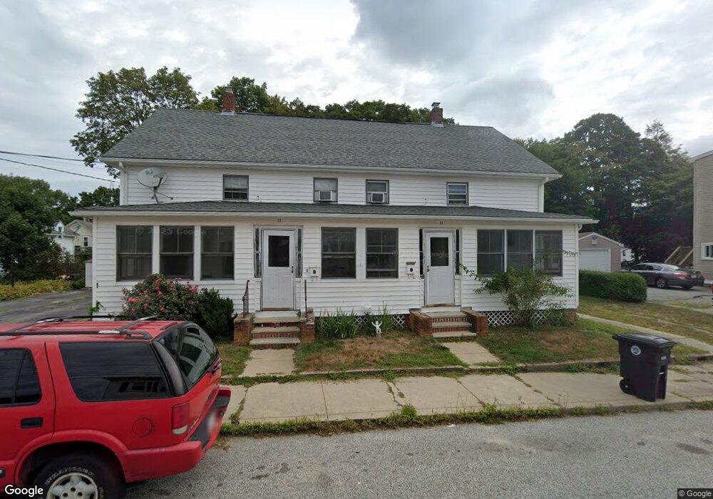
17 Anthony St Unit 19 Coventry, RI 02816
Estimated Value: $393,402 - $499,000
6
Beds
2
Baths
2,550
Sq Ft
$179/Sq Ft
Est. Value
About This Home
This home is located at 17 Anthony St Unit 19, Coventry, RI 02816 and is currently estimated at $457,351, approximately $179 per square foot. 17 Anthony St Unit 19 is a home located in Kent County with nearby schools including Alan Shawn Feinstein Ms Of Cov, Coventry High School, and Father John V. Doyle School.
Ownership History
Date
Name
Owned For
Owner Type
Purchase Details
Closed on
Mar 18, 2011
Sold by
Tougas Gregory J and Tougas Michelle M
Bought by
Tougas Michelle M
Current Estimated Value
Purchase Details
Closed on
Jan 31, 2000
Sold by
Masiello Harry J and Masiello Linda
Bought by
Tougas Gregory J and Tougas Michelle M
Home Financials for this Owner
Home Financials are based on the most recent Mortgage that was taken out on this home.
Original Mortgage
$120,000
Interest Rate
7.83%
Create a Home Valuation Report for This Property
The Home Valuation Report is an in-depth analysis detailing your home's value as well as a comparison with similar homes in the area
Home Values in the Area
Average Home Value in this Area
Purchase History
| Date | Buyer | Sale Price | Title Company |
|---|---|---|---|
| Tougas Michelle M | -- | -- | |
| Tougas Gregory J | $128,500 | -- |
Source: Public Records
Mortgage History
| Date | Status | Borrower | Loan Amount |
|---|---|---|---|
| Previous Owner | Tougas Gregory J | $144,000 | |
| Previous Owner | Tougas Gregory J | $120,000 |
Source: Public Records
Tax History Compared to Growth
Tax History
| Year | Tax Paid | Tax Assessment Tax Assessment Total Assessment is a certain percentage of the fair market value that is determined by local assessors to be the total taxable value of land and additions on the property. | Land | Improvement |
|---|---|---|---|---|
| 2024 | $4,470 | $282,200 | $81,000 | $201,200 |
| 2023 | $4,326 | $282,200 | $81,000 | $201,200 |
| 2022 | $4,186 | $213,900 | $79,200 | $134,700 |
| 2021 | $4,150 | $213,900 | $79,200 | $134,700 |
| 2020 | $4,757 | $213,900 | $79,200 | $134,700 |
| 2019 | $3,625 | $163,000 | $60,300 | $102,700 |
| 2018 | $3,522 | $163,000 | $60,300 | $102,700 |
| 2017 | $3,420 | $163,000 | $60,300 | $102,700 |
| 2016 | $3,513 | $164,100 | $59,300 | $104,800 |
| 2015 | $3,418 | $164,100 | $59,300 | $104,800 |
| 2014 | $3,348 | $164,100 | $59,300 | $104,800 |
| 2013 | $3,277 | $175,600 | $66,200 | $109,400 |
Source: Public Records
Map
Nearby Homes
- 4 Union St
- 11 Taft St
- 22 Edward St
- 14 Dawn Ln
- 27 Matteson St
- 35 Meredith Dr
- 82 Doolittle St
- 7 Beaulieu Ave
- 26 Anderson Ave
- 9 Regent St Unit 11
- 104 Knotty Oak Rd
- 1 White Rock Rd
- 48 Breezy Lake Dr
- 105 Read Ave
- 15 Hope Ct
- 11 Dexter St
- 37 Phillip St
- 20 Maplewood Dr
- 1 Ritchotte Ct
- 325 Washington St Unit 3