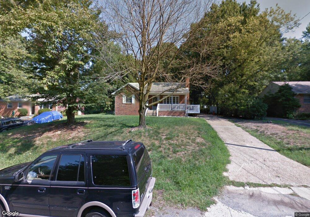
17 Arthur Dr W Fort Washington, MD 20744
Estimated Value: $378,000 - $425,000
3
Beds
2
Baths
1,272
Sq Ft
$323/Sq Ft
Est. Value
About This Home
This home is located at 17 Arthur Dr W, Fort Washington, MD 20744 and is currently estimated at $410,395, approximately $322 per square foot. 17 Arthur Dr W is a home located in Prince George's County with nearby schools including Fort Foote Elementary School, Oxon Hill Middle School, and Oxon Hill High School.
Ownership History
Date
Name
Owned For
Owner Type
Purchase Details
Closed on
Apr 8, 2002
Sold by
Banks Kevin A and Banks Frederica M
Bought by
Buckner Willie J
Current Estimated Value
Purchase Details
Closed on
Jun 27, 1997
Sold by
Banks Kevin A and Banks Julie L
Bought by
Banks Kevin A and Banks Frederica M
Purchase Details
Closed on
Aug 19, 1987
Sold by
Graham Francis K
Bought by
Banks Kevin A and Banks Julie L
Create a Home Valuation Report for This Property
The Home Valuation Report is an in-depth analysis detailing your home's value as well as a comparison with similar homes in the area
Home Values in the Area
Average Home Value in this Area
Purchase History
| Date | Buyer | Sale Price | Title Company |
|---|---|---|---|
| Buckner Willie J | $166,900 | -- | |
| Banks Kevin A | -- | -- | |
| Banks Kevin A | $108,000 | -- |
Source: Public Records
Tax History Compared to Growth
Tax History
| Year | Tax Paid | Tax Assessment Tax Assessment Total Assessment is a certain percentage of the fair market value that is determined by local assessors to be the total taxable value of land and additions on the property. | Land | Improvement |
|---|---|---|---|---|
| 2025 | $4,329 | $306,133 | -- | -- |
| 2024 | $4,329 | $264,500 | $78,200 | $186,300 |
| 2023 | $2,941 | $264,500 | $78,200 | $186,300 |
| 2022 | $4,328 | $264,500 | $78,200 | $186,300 |
| 2021 | $4,575 | $281,100 | $76,600 | $204,500 |
| 2020 | $4,341 | $265,367 | $0 | $0 |
| 2019 | $4,107 | $249,633 | $0 | $0 |
| 2018 | $3,874 | $233,900 | $76,600 | $157,300 |
| 2017 | $3,663 | $219,733 | $0 | $0 |
| 2016 | -- | $205,567 | $0 | $0 |
| 2015 | $3,263 | $191,400 | $0 | $0 |
| 2014 | $3,263 | $191,400 | $0 | $0 |
Source: Public Records
Map
Nearby Homes
- 13 Arthur Dr E
- 8108 River Bend Ct
- 407 River Wood Dr
- 514 Overlook Park Dr Unit 34
- 510 Overlook Park Dr Unit 32
- 711 River Mist Dr Unit 175
- 509 Rampart Way Unit 19
- 808 Admirals Way Unit 303
- 508 Spindrift Ln
- 615 Skiff Way
- 607 Skiff Way
- 516 Harborview Dr
- 0 Triggerfish Dr Unit MDPG2158296
- 0 Triggerfish Dr Unit MDPG2158314
- 0 Triggerfish Dr Unit MDPG2158308
- 0 Triggerfish Dr Unit MDPG2158300
- 0 Triggerfish Dr Unit MDPG2158304
- 210 Potomac Ridge Dr
- 506 Riversail Ln Unit 435
- 620 Leigh Way
- 15 Arthur Dr W
- 23 Arthur Dr W
- 11 Arthur Dr W
- 102 Cross Foxes Dr
- 100 Cross Foxes Dr
- 7 Arthur Dr W
- 24 Arthur Dr W
- 20 Arthur Dr W
- 101 Cross Foxes Dr
- 16 Arthur Dr W
- 12 Arthur Dr W
- 3 Arthur Dr W
- 6 Arthur Dr W
- 104 Cross Foxes Dr
- 8 Arthur Dr W
- 103 Cross Foxes Dr
- 106 Cross Foxes Dr
- 4 Arthur Dr W
- 8500 Osprey Ct
- 107 Cross Foxes Dr