17 Arthur Gordon Dr Rowley, MA 01969
Estimated Value: $273,000 - $443,000
3
Beds
2
Baths
1,400
Sq Ft
$246/Sq Ft
Est. Value
About This Home
This home is located at 17 Arthur Gordon Dr, Rowley, MA 01969 and is currently estimated at $343,711, approximately $245 per square foot. 17 Arthur Gordon Dr is a home located in Essex County with nearby schools including Triton Regional High School, North Shore Montessori School, and Clark School.
Ownership History
Date
Name
Owned For
Owner Type
Purchase Details
Closed on
Jan 18, 2005
Sold by
Rowley Prime Int and Katsapetses Thomas N
Bought by
Broderick Phillip Michael
Current Estimated Value
Home Financials for this Owner
Home Financials are based on the most recent Mortgage that was taken out on this home.
Original Mortgage
$145,500
Outstanding Balance
$73,752
Interest Rate
5.81%
Mortgage Type
Purchase Money Mortgage
Estimated Equity
$269,959
Create a Home Valuation Report for This Property
The Home Valuation Report is an in-depth analysis detailing your home's value as well as a comparison with similar homes in the area
Home Values in the Area
Average Home Value in this Area
Purchase History
| Date | Buyer | Sale Price | Title Company |
|---|---|---|---|
| Broderick Phillip Michael | $150,000 | -- |
Source: Public Records
Mortgage History
| Date | Status | Borrower | Loan Amount |
|---|---|---|---|
| Open | Broderick Phillip Michael | $145,500 | |
| Closed | Broderick Phillip Michael | $30,000 |
Source: Public Records
Tax History Compared to Growth
Tax History
| Year | Tax Paid | Tax Assessment Tax Assessment Total Assessment is a certain percentage of the fair market value that is determined by local assessors to be the total taxable value of land and additions on the property. | Land | Improvement |
|---|---|---|---|---|
| 2025 | $2,455 | $208,600 | $0 | $208,600 |
| 2024 | $2,172 | $179,500 | $0 | $179,500 |
| 2023 | $2,337 | $179,500 | $0 | $179,500 |
| 2022 | $2,624 | $179,500 | $0 | $179,500 |
| 2021 | $2,797 | $179,500 | $0 | $179,500 |
| 2020 | $2,797 | $179,500 | $0 | $179,500 |
| 2019 | $2,635 | $179,500 | $0 | $179,500 |
| 2018 | $2,617 | $179,500 | $0 | $179,500 |
| 2017 | $2,538 | $179,500 | $0 | $179,500 |
| 2016 | $2,578 | $179,500 | $0 | $179,500 |
| 2015 | $2,556 | $179,500 | $0 | $179,500 |
Source: Public Records
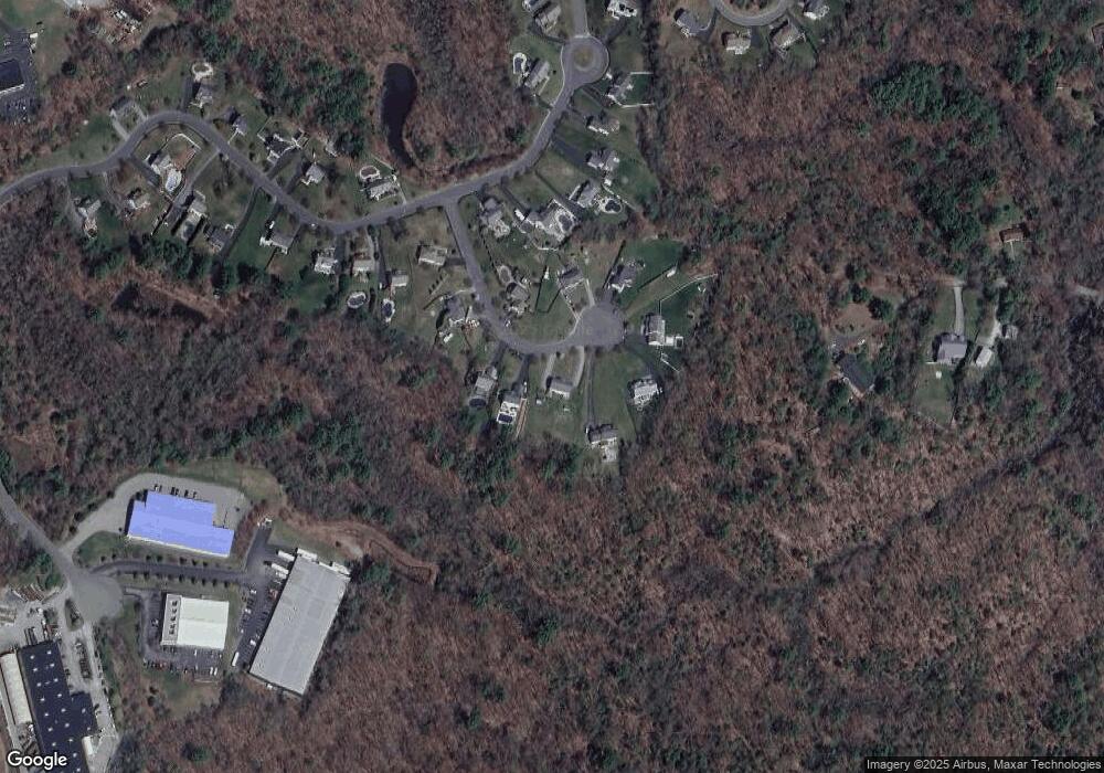
Map
Nearby Homes
- 79 Spencer Knowles Rd
- 480 Newburyport Turnpike
- 460-472 Newburyport Turnpike
- 304 & 480 Wethersfield St & Nbpt Tnpk
- 78 Wethersfield St
- 19 Morphew Ln Unit 2
- 8 Longmeadow Dr Unit 14
- Lot 4 Osprey Ct
- Lot 3 Osprey Ct
- 304-312 Wethersfield St
- 308 & 312 Wethersfield St
- 1 Osprey Ct
- 47 Prospect St
- 21 Hammond St
- 601 Newburyport Turnpike
- 75 Country Club Way
- 4 The Fairways
- 1 Court Ln
- 3 Choate Ln
- 76-78 Daniels Rd
- 19 Arthur Gordon Dr
- 15 Arthur Gordon Dr
- 11 Arthur Gordon Dr
- 21 Arthur Gordon Dr
- 23 Arthur Gordon Dr
- 8 Arthur Gordon Dr
- 14 Arthur Gordon Dr
- 18 Arthur Gordon Dr
- 9 Arthur Gordon Dr
- 5 Arthur Gordon Dr
- 22 Arthur Gordon Dr
- 25 Arthur Gordon Dr
- 0 Silva Ln
- 57 Spencer Knowles Rd
- 63 Spencer Knowles Rd
- 3 Arthur Gordon Dr
- 67 Spencer Knowles Rd
- 53 Spencer Knowles Rd
- 69 Spencer Knowles Rd
- 51 Spencer Knowles Rd