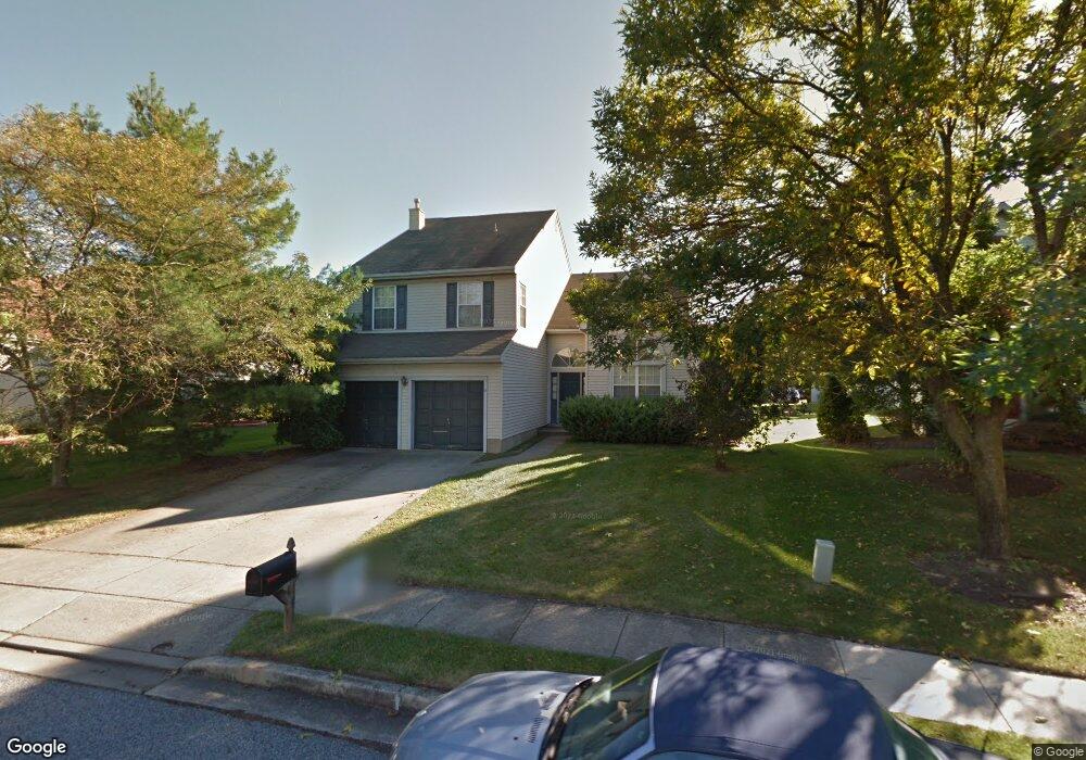
17 Barton Way Mount Laurel, NJ 08054
Estimated Value: $588,000 - $657,000
4
Beds
3
Baths
2,429
Sq Ft
$250/Sq Ft
Est. Value
About This Home
This home is located at 17 Barton Way, Mount Laurel, NJ 08054 and is currently estimated at $606,778, approximately $249 per square foot. 17 Barton Way is a home located in Burlington County with nearby schools including Countryside Elementary School, T.E. Harrington Middle School, and Mount Laurel Hartford School.
Ownership History
Date
Name
Owned For
Owner Type
Purchase Details
Closed on
Aug 25, 2022
Sold by
Trachtenberg Ira A and Trachtenberg Deborah A
Bought by
Trachtenberg Ira A
Current Estimated Value
Home Financials for this Owner
Home Financials are based on the most recent Mortgage that was taken out on this home.
Original Mortgage
$354,598
Outstanding Balance
$338,912
Interest Rate
5.3%
Mortgage Type
FHA
Estimated Equity
$267,866
Purchase Details
Closed on
Jun 30, 1993
Bought by
Trachtenberg Ira A and Trachtenberg Deborah A
Create a Home Valuation Report for This Property
The Home Valuation Report is an in-depth analysis detailing your home's value as well as a comparison with similar homes in the area
Home Values in the Area
Average Home Value in this Area
Purchase History
| Date | Buyer | Sale Price | Title Company |
|---|---|---|---|
| Trachtenberg Ira A | -- | Eagle Title | |
| Trachtenberg Ira A | $174,900 | -- |
Source: Public Records
Mortgage History
| Date | Status | Borrower | Loan Amount |
|---|---|---|---|
| Open | Trachtenberg Ira A | $354,598 |
Source: Public Records
Tax History
| Year | Tax Paid | Tax Assessment Tax Assessment Total Assessment is a certain percentage of the fair market value that is determined by local assessors to be the total taxable value of land and additions on the property. | Land | Improvement |
|---|---|---|---|---|
| 2025 | $9,948 | $315,100 | $99,500 | $215,600 |
| 2024 | $9,573 | $315,100 | $99,500 | $215,600 |
| 2023 | $9,573 | $315,100 | $99,500 | $215,600 |
| 2022 | $9,541 | $315,100 | $99,500 | $215,600 |
| 2021 | $9,362 | $315,100 | $99,500 | $215,600 |
| 2020 | $9,179 | $315,100 | $99,500 | $215,600 |
| 2019 | $9,084 | $315,100 | $99,500 | $215,600 |
| 2018 | $9,015 | $315,100 | $99,500 | $215,600 |
| 2017 | $8,782 | $315,100 | $99,500 | $215,600 |
| 2016 | $8,650 | $315,100 | $99,500 | $215,600 |
| 2015 | $8,549 | $315,100 | $99,500 | $215,600 |
| 2014 | $8,464 | $315,100 | $99,500 | $215,600 |
Source: Public Records
Map
Nearby Homes
- 58 Watson Dr
- 901A Oliphant Ln
- 907A Oliphant Ln Unit 907A
- 506 Oliphant Ln Unit 506
- 903 Ginger Ct
- 135 Buckingham Way
- 1604B Steeplebush Terrace Unit 2604B
- 21 A E Daisy Ln
- 2702B Bluegrass Dr Unit B
- 1701A Steeplebush Terrace
- 91 Center Ln Unit 91
- 9 Avandale Ct
- 130B Birchfield Ct Unit B
- 130B Birchfield Ct Unit 130B
- 2103A Ferndale Ct Unit A
- 3 Avandale Ct
- 202B Arrowood Ct
- 23 E Oleander Dr
- 78 Chapel Hill Rd
- 98B Red Cedar Ct
- 15 Barton Way
- 19 Barton Way
- 40 Longbridge Dr
- 42 Longbridge Dr
- 38 Longbridge Dr
- 13 Barton Way
- 21 Barton Way
- 44 Long Bridge Dr
- 44 Longbridge Dr
- 36 Longbridge Dr
- 20 Barton Way
- 46 Longbridge Dr
- 18 Barton Way
- 23 Barton Way
- 11 Barton Way
- 34 Longbridge Dr
- 22 Barton Way
- 48 Longbridge Dr
- 16 Barton Way
- 9 Barton Way
Your Personal Tour Guide
Ask me questions while you tour the home.