Estimated Value: $206,000 - $229,000
3
Beds
2
Baths
1,572
Sq Ft
$138/Sq Ft
Est. Value
About This Home
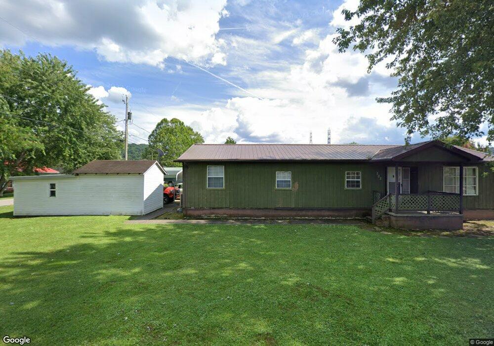
This home is located at 17 Black Betsy Bottom Rd, Poca, WV 25159 and is currently estimated at $216,283, approximately $137 per square foot. 17 Black Betsy Bottom Rd is a home located in Putnam County.
Ownership History
Date
Name
Owned For
Owner Type
Purchase Details
Closed on
May 9, 2025
Sold by
Walker Jimmy Avel and Walker Robin Denise
Bought by
Hart Tyler and Hart Morgan
Current Estimated Value
Home Financials for this Owner
Home Financials are based on the most recent Mortgage that was taken out on this home.
Original Mortgage
$173,700
Outstanding Balance
$173,084
Interest Rate
6.64%
Mortgage Type
New Conventional
Estimated Equity
$43,199
Purchase Details
Closed on
May 4, 2007
Sold by
Williams Juanita Marie and Shamblin Juanita Marie
Bought by
Bowling Robin D
Create a Home Valuation Report for This Property
The Home Valuation Report is an in-depth analysis detailing your home's value as well as a comparison with similar homes in the area
Home Values in the Area
Average Home Value in this Area
Purchase History
| Date | Buyer | Sale Price | Title Company |
|---|---|---|---|
| Hart Tyler | $220,000 | None Listed On Document | |
| Hart Tyler | $220,000 | None Listed On Document | |
| Bowling Robin D | $117,000 | -- |
Source: Public Records
Mortgage History
| Date | Status | Borrower | Loan Amount |
|---|---|---|---|
| Open | Hart Tyler | $173,700 |
Source: Public Records
Tax History Compared to Growth
Tax History
| Year | Tax Paid | Tax Assessment Tax Assessment Total Assessment is a certain percentage of the fair market value that is determined by local assessors to be the total taxable value of land and additions on the property. | Land | Improvement |
|---|---|---|---|---|
| 2024 | $1,075 | $79,740 | $14,400 | $65,340 |
| 2023 | $899 | $77,640 | $14,400 | $63,240 |
| 2022 | $924 | $76,620 | $14,400 | $62,220 |
| 2021 | $900 | $74,280 | $14,400 | $59,880 |
| 2020 | $833 | $68,880 | $9,780 | $59,100 |
| 2019 | $803 | $65,400 | $9,780 | $55,620 |
| 2018 | $790 | $64,200 | $9,780 | $54,420 |
| 2017 | $809 | $65,220 | $11,640 | $53,580 |
| 2016 | $812 | $65,100 | $11,640 | $53,460 |
| 2015 | $688 | $58,080 | $8,640 | $49,440 |
| 2014 | $688 | $54,780 | $6,300 | $48,480 |
Source: Public Records
Map
Nearby Homes
- 5340 Charleston Rd
- 133 Rockwood Dr
- 8 Anchors Way
- 367 Washington St
- 33 Railroad St
- 150 Shawnee Estates
- 194 Shawnee Estates
- 18 Rollin St
- 4948 Charleston Rd
- 130 Rolling Acres
- 105 Rolling Acres
- 50 Armentrout Rd
- 2687 Blue Lick Rd
- 232 Laurel Ave
- 43 Jordon Dr
- 39 Jordon Dr
- 41 Jordon Dr
- 123 Poca Cir
- 106 Richard Dr
- 101 Poca Cir
- 14 Thornhill Dr
- 14 Thornhill Estate
- 2 Thorn Hill Estate
- 1 Margaret St
- 17 Margaret St
- 9 Margaret St
- 4 Thornhill Estate
- 11 Thorn Hill Estate
- 27 Margaret St
- 4 Margaret St
- 4 Margaret St
- 6 Thorn Hill Estate
- 5 Thorn Hill Estate
- 6 Thorn Hill Estate
- 9 Thorn Hill Estate
- 5 Thorn Hill Estate
- 7 Thornhill Estate
- 16 Thornhill Estate
- 11 Margaret St
- 33 Margaret St