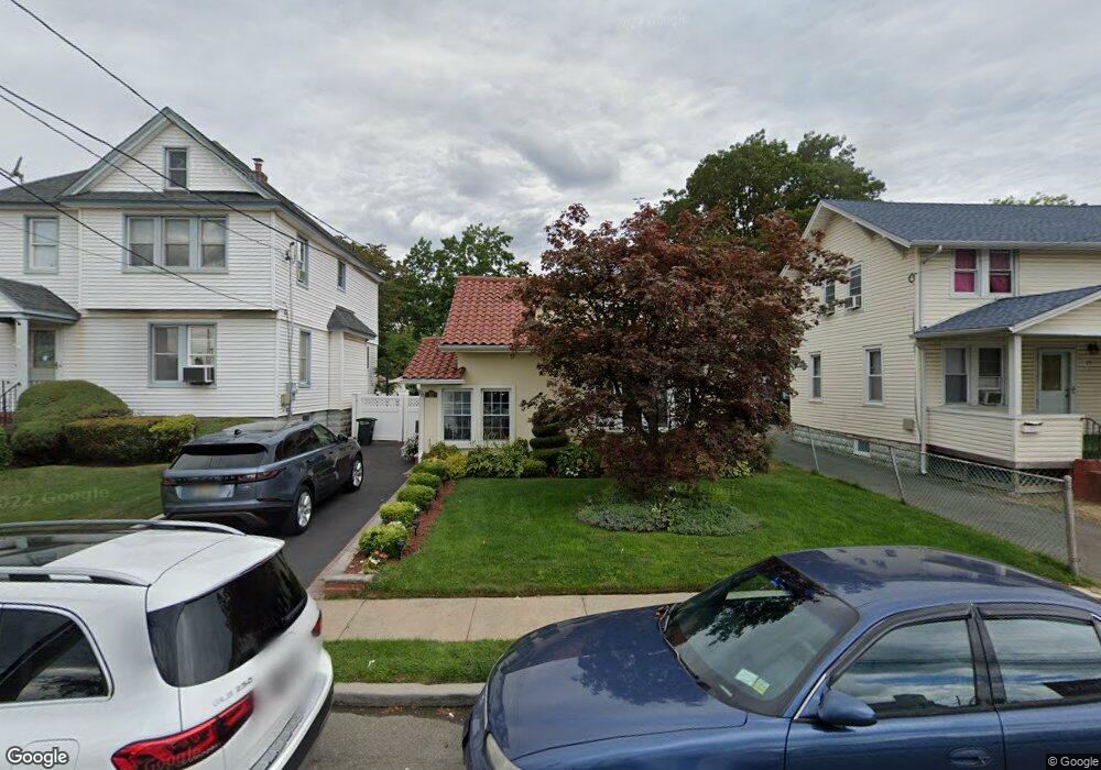
17 Blake Ave Lynbrook, NY 11563
Estimated Value: $610,740 - $725,000
Studio
1
Bath
1,412
Sq Ft
$473/Sq Ft
Est. Value
About This Home
This home is located at 17 Blake Ave, Lynbrook, NY 11563 and is currently estimated at $667,870, approximately $472 per square foot. 17 Blake Ave is a home located in Nassau County with nearby schools including Lynbrook Senior High School, Our Lady Of Peace School, and Our Lady of Lourdes School.
Ownership History
Date
Name
Owned For
Owner Type
Purchase Details
Closed on
Jul 13, 2001
Sold by
Majid Ahmed M
Bought by
Escobar Wilson
Current Estimated Value
Purchase Details
Closed on
Sep 18, 1998
Purchase Details
Closed on
Jan 6, 1997
Purchase Details
Closed on
Dec 11, 1995
Sold by
Chetkoff Bernard Ref
Bought by
Greenpoint Bank
Create a Home Valuation Report for This Property
The Home Valuation Report is an in-depth analysis detailing your home's value as well as a comparison with similar homes in the area
Home Values in the Area
Average Home Value in this Area
Purchase History
| Date | Buyer | Sale Price | Title Company |
|---|---|---|---|
| Escobar Wilson | $215,180 | Edward Spiegel | |
| Escobar Wilson | $215,180 | Edward Spiegel | |
| -- | -- | -- | |
| -- | -- | -- | |
| -- | $100,000 | -- | |
| -- | $100,000 | -- | |
| Greenpoint Bank | $71,057 | -- | |
| Greenpoint Bank | $71,057 | -- |
Source: Public Records
Tax History
| Year | Tax Paid | Tax Assessment Tax Assessment Total Assessment is a certain percentage of the fair market value that is determined by local assessors to be the total taxable value of land and additions on the property. | Land | Improvement |
|---|---|---|---|---|
| 2025 | $9,390 | $407 | $182 | $225 |
| 2024 | $926 | $407 | $182 | $225 |
Source: Public Records
Map
Nearby Homes
- 40 Daley Place Unit 124
- 40 Daley Place Unit 227
- 20 Daley Place Unit 128
- 30 Daley Place Unit 136
- 30 Daley Place Unit 247
- 20 Daley Place Unit 225
- 20 Daley Place Unit 113
- 30 Daley Place Unit 146
- 2 Fowler Ave Unit 228
- 60 Hempstead Ave Unit 1O
- 60 Hempstead Ave Unit 1K
- 60 Hempstead Ave Unit 1J
- 75 Noble St Unit 121
- 181 Walnut St
- 266 Earle Ave
- 57 Nieman Ave
- 30 Putnam Ave
- 29 Summit Ave
- 157 Hempstead Ave Unit B20
- 45 Lynbrook Ave
- 21 Blake Ave
- 363 Merrick Rd
- 361 Merrick Rd
- 353 Merrick Rd
- 351 Merrick Rd
- 29 & 21-23 Broadway
- 12 & 14 Endview Ave
- 20 Blake Ave
- 337 Merrick Rd
- 339 Merrick Rd
- Tbd Evergreen Ave
- 360 Merrick Rd
- 30 Daley Place Unit 137
- 30 Daley Place Unit 245
- 30 Daley Place Unit 244
- 20 Daley Place Unit 220
- 20 Daley Place Unit 228
- 20 Daley Place Unit 224
- 20 Daley Place Unit 134
- 30 Daley Place Unit 243
Your Personal Tour Guide
Ask me questions while you tour the home.