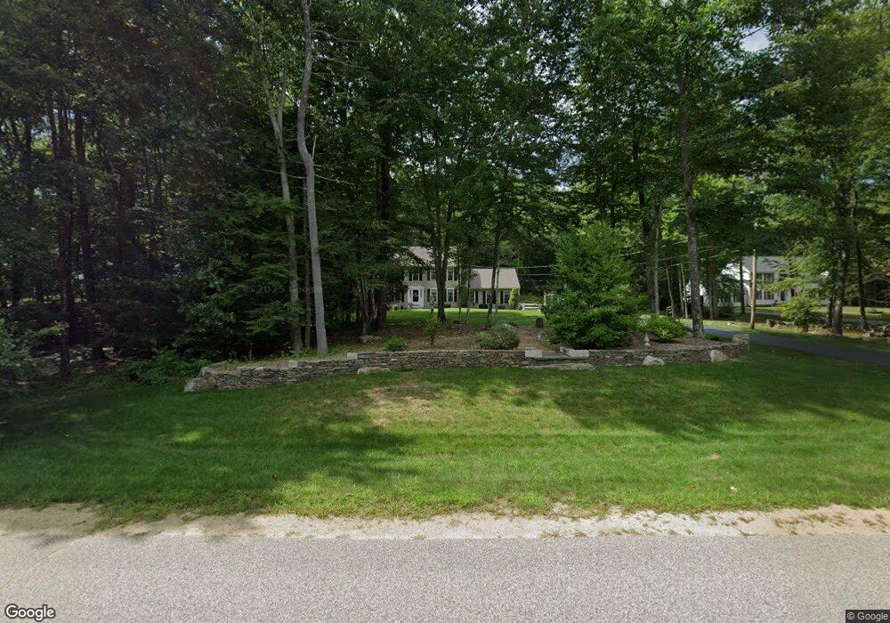
17 Blake Rd Raymond, NH 03077
Raymond AreaEstimated Value: $573,000 - $579,000
About This Home
This home is located at 17 Blake Rd, Raymond, NH 03077 and is currently estimated at $575,921, approximately $307 per square foot. 17 Blake Rd is a home located in Rockingham County with nearby schools including Lamprey River Elementary School, Iber Holmes Gove Middle School, and Raymond High School.
Ownership History
We collect this data history from publicly available records. To have your information removed, we recommend requesting removal directly through your county’s website.
Purchase Details
Purchase Details
Home Values in the Area
Average Home Value in this Area
Purchase History
We collect this data history from publicly available records. To have your information removed, we recommend requesting removal directly through your county’s website.
| Date | Buyer | Sale Price | Title Company |
|---|---|---|---|
| -- | None Available | ||
| $220,900 | -- |
Mortgage History
We collect this data history from publicly available records. To have your information removed, we recommend requesting removal directly through your county’s website.
| Date | Status | Borrower | Loan Amount |
|---|---|---|---|
| Open | $81,000 | ||
| Previous Owner | $160,000 | ||
| Previous Owner | $150,000 |
Tax History
We collect this data history from publicly available records. To have your information removed, we recommend requesting removal directly through your county’s website.
| Year | Tax Paid | Tax Assessment Tax Assessment Total Assessment is a certain percentage of the fair market value that is determined by local assessors to be the total taxable value of land and additions on the property. | Land | Improvement |
|---|---|---|---|---|
| 2025 | $8,107 | $353,100 | $118,800 | $234,300 |
| 2024 | $7,736 | $353,100 | $118,800 | $234,300 |
| 2023 | $7,316 | $353,100 | $118,800 | $234,300 |
| 2022 | $6,458 | $353,100 | $118,800 | $234,300 |
| 2021 | $6,536 | $353,100 | $118,800 | $234,300 |
| 2020 | $7,374 | $256,200 | $85,300 | $170,900 |
| 2019 | $5,394 | $256,200 | $85,300 | $170,900 |
| 2018 | $20,777 | $256,200 | $85,300 | $170,900 |
| 2017 | $1,880 | $256,200 | $85,300 | $170,900 |
| 2016 | $6,082 | $256,200 | $85,300 | $170,900 |
| 2015 | $5,801 | $231,300 | $85,300 | $146,000 |
| 2014 | $5,628 | $231,300 | $85,300 | $146,000 |
| 2013 | $5,468 | $231,300 | $85,300 | $146,000 |
Map
- 5 Blake Rd
- 1 Blake Rd
- 10 Darren Dr
- 65 Chester Rd
- 95 Whittier Dr
- 42A Chester Rd
- 3 Margaret Ave
- 5 Margaret Ave
- 10 Phyllis Ave
- 42 Chester Rd
- 14 Gertrude Ave
- 10 Patricia Ave
- 2 Evelyn Ave
- 69 Crestview Way
- 75 Crestview Way
- 65 Crestview Way
- 61 Crestview Way
- 63 Crestview Way
- 71 Crestview Way
- 24 Christopher Ln
Ask me questions while you tour the home.