Estimated Value: $617,000 - $929,000
3
Beds
2
Baths
1,680
Sq Ft
$424/Sq Ft
Est. Value
About This Home
This home is located at 17 Boulder Patch Rd, Hall, MT 59837 and is currently estimated at $711,739, approximately $423 per square foot. 17 Boulder Patch Rd is a home located in Granite County with nearby schools including Philipsburg Elementary School, Philipsburg Junior High School, and Granite High School.
Ownership History
Date
Name
Owned For
Owner Type
Purchase Details
Closed on
Jun 12, 2023
Sold by
Harper Jay R
Bought by
Harper Jay R and Harper Sarah
Current Estimated Value
Purchase Details
Closed on
Jun 18, 2022
Sold by
Harper Shonna D
Bought by
Harper Jay
Home Financials for this Owner
Home Financials are based on the most recent Mortgage that was taken out on this home.
Original Mortgage
$493,600
Interest Rate
5.3%
Mortgage Type
New Conventional
Purchase Details
Closed on
Nov 9, 2007
Bought by
Dba Harper Construction Inc and Dba Harper Construction Inc
Create a Home Valuation Report for This Property
The Home Valuation Report is an in-depth analysis detailing your home's value as well as a comparison with similar homes in the area
Purchase History
| Date | Buyer | Sale Price | Title Company |
|---|---|---|---|
| Harper Jay R | -- | None Listed On Document | |
| Harper Jay | -- | None Listed On Document | |
| Dba Harper Construction Inc | -- | -- |
Source: Public Records
Mortgage History
| Date | Status | Borrower | Loan Amount |
|---|---|---|---|
| Previous Owner | Harper Jay | $493,600 |
Source: Public Records
Tax History
| Year | Tax Paid | Tax Assessment Tax Assessment Total Assessment is a certain percentage of the fair market value that is determined by local assessors to be the total taxable value of land and additions on the property. | Land | Improvement |
|---|---|---|---|---|
| 2025 | $2,413 | $606,700 | $0 | $0 |
| 2024 | $2,994 | $526,300 | $0 | $0 |
| 2023 | $2,777 | $526,300 | $0 | $0 |
| 2022 | $1,933 | $268,100 | $0 | $0 |
| 2021 | $1,909 | $268,100 | $0 | $0 |
| 2020 | $2,055 | $270,200 | $0 | $0 |
| 2019 | $2,059 | $270,200 | $0 | $0 |
| 2018 | $2,028 | $267,400 | $0 | $0 |
| 2017 | $1,882 | $267,400 | $0 | $0 |
| 2016 | $1,921 | $254,400 | $0 | $0 |
| 2015 | $1,832 | $254,400 | $0 | $0 |
| 2014 | $1,690 | $126,033 | $0 | $0 |
Source: Public Records
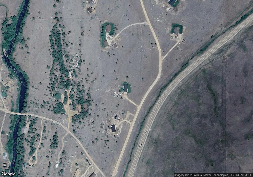
Map
Nearby Homes
- 111 Boulder Patch Rd
- 65 Gold Coin Rd
- 11 Maxville Rd
- 4847 Montana 1
- 6 Maxville Rd
- 50 Maxville Rd
- Tbd Boulder Patch Rd
- 28 Princeton Rd
- 614 Wyman Gulch Rd
- # Johnson Quarta Lode
- 460 Lower Willow Creek Rd
- Lot 6 Papson Ct
- 7 Papson Ridge Ln
- 96 Partridge Ln
- 114 & 116 W Main
- Nhn Montana 1
- Lot 10 Black Pine Meadows Subdivision
- Tract 17 Whiskey Flats
- 100 Stevie Ln
- Tract 71 Whiskey Flats
- 37 Boulder Patch Rd
- 18 Gold Coin Rd
- 0 Boulder Patch Rd
- 51 Boulder Patch Rd
- 23 Gold Coin Rd
- 11 Gold Coin Rd
- 11 Gold Coin Rd
- Lot 19 Boulder Patch Rd
- 23 Gold Coin Rd
- 23 Gold Coin Rd
- Lot 17 Greystone Subdivision
- Lot 17 Greystone
- Lot 15 Greystone Subdivision
- Lot 15 Boulder Patch Rd
- Lot 15 Greystone Subdivision
- Lot 15 Boulder Patch Rd
- 65 Boulder Patch Rd
- 5060 Mt Highway 1
- 68 Boulder Patch Rd
- Lot 22 Greystone Subdivision
Your Personal Tour Guide
Ask me questions while you tour the home.