17 Branch Ln North Scituate, RI 02857
Estimated Value: $666,991 - $705,000
4
Beds
3
Baths
2,520
Sq Ft
$274/Sq Ft
Est. Value
About This Home
This home is located at 17 Branch Ln, North Scituate, RI 02857 and is currently estimated at $690,498, approximately $274 per square foot. 17 Branch Ln is a home located in Providence County with nearby schools including Fogarty Memorial School, Ponaganset Middle School, and Ponaganset High School.
Ownership History
Date
Name
Owned For
Owner Type
Purchase Details
Closed on
Sep 20, 2019
Sold by
Cataldo Denise
Bought by
Cataldo Denise A
Current Estimated Value
Home Financials for this Owner
Home Financials are based on the most recent Mortgage that was taken out on this home.
Original Mortgage
$340,000
Outstanding Balance
$295,877
Interest Rate
3.5%
Mortgage Type
New Conventional
Estimated Equity
$394,621
Purchase Details
Closed on
Jan 23, 2014
Sold by
Odonnell Robert and Odonnell Denise A
Bought by
Cataldo-Odonnell Denise
Create a Home Valuation Report for This Property
The Home Valuation Report is an in-depth analysis detailing your home's value as well as a comparison with similar homes in the area
Home Values in the Area
Average Home Value in this Area
Purchase History
| Date | Buyer | Sale Price | Title Company |
|---|---|---|---|
| Cataldo Denise A | -- | -- | |
| Cataldo-Odonnell Denise | -- | -- | |
| Cataldo-Odonnell Denise | -- | -- |
Source: Public Records
Mortgage History
| Date | Status | Borrower | Loan Amount |
|---|---|---|---|
| Open | Cataldo Denise A | $340,000 | |
| Previous Owner | Cataldo-Odonnell Denise | $295,500 | |
| Previous Owner | Cataldo-Odonnell Denise | $32,000 | |
| Previous Owner | Cataldo-Odonnell Denise | $100,000 |
Source: Public Records
Tax History Compared to Growth
Tax History
| Year | Tax Paid | Tax Assessment Tax Assessment Total Assessment is a certain percentage of the fair market value that is determined by local assessors to be the total taxable value of land and additions on the property. | Land | Improvement |
|---|---|---|---|---|
| 2025 | $7,380 | $517,500 | $137,800 | $379,700 |
| 2024 | $7,173 | $517,500 | $137,800 | $379,700 |
| 2023 | $7,374 | $517,500 | $137,800 | $379,700 |
| 2022 | $6,369 | $345,400 | $94,800 | $250,600 |
| 2021 | $6,369 | $345,400 | $94,800 | $250,600 |
| 2020 | $6,293 | $345,400 | $94,800 | $250,600 |
| 2018 | $6,260 | $313,000 | $84,400 | $228,600 |
| 2017 | $6,175 | $313,000 | $84,400 | $228,600 |
| 2016 | $6,598 | $293,900 | $81,300 | $212,600 |
| 2015 | $6,501 | $293,900 | $81,300 | $212,600 |
| 2014 | $6,398 | $293,900 | $81,300 | $212,600 |
| 2013 | $6,561 | $308,900 | $91,200 | $217,700 |
Source: Public Records
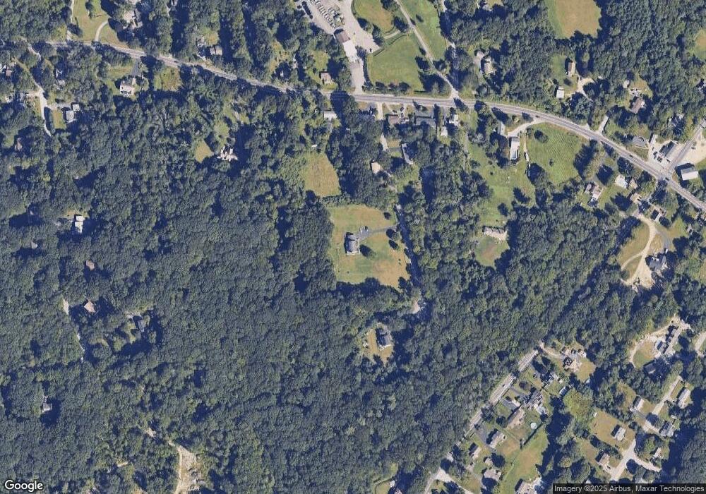
Map
Nearby Homes
- 485 Snake Hill Rd
- 22 Liberty Ln
- 0 Winchester Dr Unit 1386967
- 56 Pine Ledge Rd
- 35 Steere Rd
- 389 Elmdale Rd
- 219 Peeptoad Rd
- 369 Hunting House Rd
- 125 Smith Ave Unit 1B
- 17 Country Side Ln
- 27 Sunnybrook Rd
- 0 Cranberry Ridge Rd
- 4 Fair Oaks Ct N
- 219-221 Peeptoad Rd
- 112 Cranberry Ridge Rd
- 15 Chiswick Rd
- 0 Quaker Ln
- 261 Quaker Ln
- 5 Kristen Dr
- 175 Huntinghouse Rd
- 13 Branch Ln
- 33 Branch Ln
- 10 Branch Ln
- 412 Snake Hill Rd
- 420 Snake Hill Rd
- 406 Snake Hill Rd
- 406 Snake Hill Rd
- 432 Snake Hill Rd
- 402 Snake Hill Rd
- 394 Snake Hill Rd
- 417 Snake Hill Rd
- 398 Snake Hill Rd
- 401 Snake Hill Rd
- 384 Snake Hill Rd
- 54 Ramble Rd
- 421 Snake Hill Rd
- 437 Snake Hill Rd
- 5 Cody Dr
- 429 Snake Hill Rd
- 46 Ramble Rd