Estimated Value: $123,218
--
Bed
--
Bath
1,000
Sq Ft
$123/Sq Ft
Est. Value
About This Home
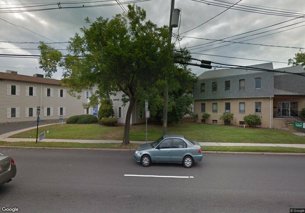
This home is located at 17 Brant Ave Unit 6, Clark, NJ 07066 and is currently priced at $123,218, approximately $123 per square foot. 17 Brant Ave Unit 6 is a home located in Union County with nearby schools including Valley Road Elementary School, Carl H. Kumpf Middle School, and Arthur L. Johnson High School.
Ownership History
Date
Name
Owned For
Owner Type
Purchase Details
Closed on
Oct 9, 2024
Sold by
Avantier Inc
Bought by
Snt Property Llc
Current Estimated Value
Home Financials for this Owner
Home Financials are based on the most recent Mortgage that was taken out on this home.
Original Mortgage
$123,900
Outstanding Balance
$122,560
Interest Rate
6.2%
Mortgage Type
New Conventional
Purchase Details
Closed on
Nov 13, 2009
Sold by
Mooney Maureen
Bought by
Avantier Inc
Purchase Details
Closed on
Jan 20, 2009
Sold by
Mooney Maureen
Bought by
Mooney Maureen
Purchase Details
Closed on
Mar 16, 2001
Sold by
Brinker Michael and Brinker Rose
Bought by
Mooney Brendan A
Home Financials for this Owner
Home Financials are based on the most recent Mortgage that was taken out on this home.
Original Mortgage
$40,000
Interest Rate
9%
Mortgage Type
Seller Take Back
Create a Home Valuation Report for This Property
The Home Valuation Report is an in-depth analysis detailing your home's value as well as a comparison with similar homes in the area
Home Values in the Area
Average Home Value in this Area
Purchase History
| Date | Buyer | Sale Price | Title Company |
|---|---|---|---|
| Snt Property Llc | $177,000 | Vital Abstract | |
| Snt Property Llc | $177,000 | Vital Abstract | |
| Avantier Inc | $65,000 | Old Republic National Title | |
| Mooney Maureen | -- | None Available | |
| Mooney Brendan A | $50,000 | -- |
Source: Public Records
Mortgage History
| Date | Status | Borrower | Loan Amount |
|---|---|---|---|
| Open | Snt Property Llc | $123,900 | |
| Closed | Snt Property Llc | $123,900 | |
| Previous Owner | Mooney Brendan A | $40,000 |
Source: Public Records
Tax History Compared to Growth
Tax History
| Year | Tax Paid | Tax Assessment Tax Assessment Total Assessment is a certain percentage of the fair market value that is determined by local assessors to be the total taxable value of land and additions on the property. | Land | Improvement |
|---|---|---|---|---|
| 2025 | $1,689 | $76,300 | $18,300 | $58,000 |
| 2024 | $1,664 | $76,300 | $18,300 | $58,000 |
| 2023 | $1,664 | $76,300 | $18,300 | $58,000 |
| 2022 | $1,616 | $76,300 | $18,300 | $58,000 |
| 2021 | $2,400 | $27,000 | $10,000 | $17,000 |
| 2020 | $2,361 | $27,000 | $10,000 | $17,000 |
| 2019 | $2,337 | $27,000 | $10,000 | $17,000 |
| 2018 | $2,309 | $27,000 | $10,000 | $17,000 |
| 2017 | $3,787 | $45,000 | $10,000 | $35,000 |
| 2016 | $3,648 | $45,000 | $10,000 | $35,000 |
| 2015 | $3,611 | $45,000 | $10,000 | $35,000 |
| 2014 | -- | $45,000 | $10,000 | $35,000 |
Source: Public Records
Map
Nearby Homes
- 30 Brant Ave
- 45 Lexington Blvd
- 12 Bartell Place
- 157 Westfield Ave
- 53 Richard St
- 122 Central Ave
- 22 Washington St
- 44 Post Rd
- 1081 Madison Hill Rd
- 1218 Kline Place
- 275 Valley Rd
- 39 Mildred Terrace
- 1374 Lambert St
- 64 Ruddy Place
- 1169 Briarcliff Dr
- 1126 Stone St
- 17 Rolling Hill Way
- 1062 Westfield Ave
- 331 West Ln
- 1120 Greslin Terrace
- 17 Brant Ave Unit 1
- 17 Brant Ave Unit 7
- 17 Brant Ave Unit 6-7
- 17 Brant Ave
- 17 Brant Ave Unit 2
- 21 Brant Ave
- 21 Brant Ave
- 21 Brant Ave Unit 3RD
- 21 Brant Ave Unit 1
- 15 Brant Ave Unit 8
- 15 Brant Ave Unit 5
- 15 Brant Ave Unit 1&2
- 15 Brant Ave Unit 3
- 15 Brant Ave
- 226 Westfield Ave
- 24 Brant Ave
- 15 Lexington Blvd
- 29 Brant Ave
- 246 Westfield Ave
- 19 Lexington Blvd