Estimated Value: $369,000 - $417,000
3
Beds
3
Baths
1,038
Sq Ft
$376/Sq Ft
Est. Value
About This Home
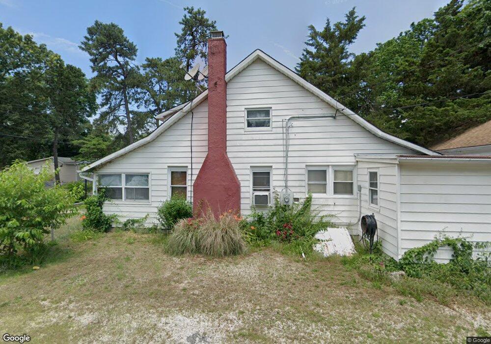
This home is located at 17 Bretonian Dr, Brick, NJ 08723 and is currently estimated at $389,878, approximately $375 per square foot. 17 Bretonian Dr is a home located in Ocean County with nearby schools including Emma Havens Young Elementary School, Lake Riviera Middle School, and Brick Township High School.
Ownership History
Date
Name
Owned For
Owner Type
Purchase Details
Closed on
Jan 11, 2007
Sold by
Babeu Veronica
Bought by
Ferrante Frank
Current Estimated Value
Home Financials for this Owner
Home Financials are based on the most recent Mortgage that was taken out on this home.
Original Mortgage
$162,000
Outstanding Balance
$96,865
Interest Rate
6.22%
Mortgage Type
Purchase Money Mortgage
Estimated Equity
$293,013
Create a Home Valuation Report for This Property
The Home Valuation Report is an in-depth analysis detailing your home's value as well as a comparison with similar homes in the area
Home Values in the Area
Average Home Value in this Area
Purchase History
| Date | Buyer | Sale Price | Title Company |
|---|---|---|---|
| Ferrante Frank | $180,000 | Chicago Title Insurance Co |
Source: Public Records
Mortgage History
| Date | Status | Borrower | Loan Amount |
|---|---|---|---|
| Open | Ferrante Frank | $162,000 |
Source: Public Records
Tax History Compared to Growth
Tax History
| Year | Tax Paid | Tax Assessment Tax Assessment Total Assessment is a certain percentage of the fair market value that is determined by local assessors to be the total taxable value of land and additions on the property. | Land | Improvement |
|---|---|---|---|---|
| 2025 | $5,559 | $215,200 | $123,000 | $92,200 |
| 2024 | $5,283 | $215,200 | $123,000 | $92,200 |
| 2023 | $5,214 | $215,200 | $123,000 | $92,200 |
| 2022 | $5,214 | $215,200 | $123,000 | $92,200 |
| 2021 | $5,105 | $215,200 | $123,000 | $92,200 |
| 2020 | $5,040 | $215,200 | $123,000 | $92,200 |
| 2019 | $4,956 | $215,200 | $123,000 | $92,200 |
| 2018 | $4,842 | $215,200 | $123,000 | $92,200 |
| 2017 | $4,711 | $215,200 | $123,000 | $92,200 |
| 2016 | $4,687 | $215,200 | $123,000 | $92,200 |
| 2015 | $4,564 | $215,200 | $123,000 | $92,200 |
| 2014 | $4,528 | $215,200 | $123,000 | $92,200 |
Source: Public Records
Map
Nearby Homes
- 15 Hulse Landing Rd
- 00 Mantoloking Rd
- VZ0 Mantoloking Rd
- 470 Mantoloking Rd
- 461 Duke Ct
- 53 Country Club Ct
- 474 Burnt Bark Rd
- 0 Mantoloking Rd Unit 11584872
- 484 Bara St
- 82 E View Dr
- 495 Pinecroft Dr
- 507 Riverside Dr S
- 10 Riverside Dr W
- 417 Mamie Dr
- 308 Mantoloking Rd
- 553 Kingfisher Cr
- 553 Kingfisher Cir
- 00 Adamston Dr
- 455 Mamie Dr
- 463 Mamie Dr
- 19 Bretonian Dr
- 18 Malibu Ct
- 429 Malibu Way
- 431 Malibu Way
- 21 Bretonian Dr
- 425 Malibu Way
- 14 Bretonian Dr
- 18 Bretonian Dr
- 23 Bretonian Dr
- 422 Malibu Way
- 423 Malibu Way
- 438 Cape Breton Ct
- 421 Malibu Way
- 22 Bretonian Dr
- 430 Hessler Way
- 432 Hessler Way
- 25 Bretonian Dr
- 428 Hessler Way
- 420 Malibu Way
- 23 Malibu Ct