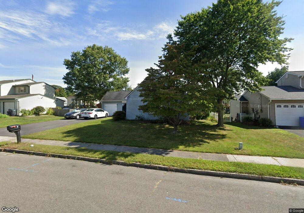
17 Briartwist Ln Howell, NJ 07731
Salem Hill NeighborhoodEstimated Value: $619,001 - $667,000
3
Beds
3
Baths
1,618
Sq Ft
$397/Sq Ft
Est. Value
About This Home
This home is located at 17 Briartwist Ln, Howell, NJ 07731 and is currently estimated at $642,750, approximately $397 per square foot. 17 Briartwist Ln is a home located in Monmouth County with nearby schools including Land O' Pines School, Newbury School, and Howell Middle School North.
Ownership History
Date
Name
Owned For
Owner Type
Purchase Details
Closed on
Aug 24, 2016
Sold by
Tupper Marjorie
Bought by
Lexington National Insura Nce Corporat I
Current Estimated Value
Home Financials for this Owner
Home Financials are based on the most recent Mortgage that was taken out on this home.
Interest Rate
3.43%
Purchase Details
Closed on
Oct 25, 1994
Sold by
Borland William
Bought by
Gilmore Scott and Gilmore Majorie
Home Financials for this Owner
Home Financials are based on the most recent Mortgage that was taken out on this home.
Original Mortgage
$114,000
Interest Rate
8.65%
Create a Home Valuation Report for This Property
The Home Valuation Report is an in-depth analysis detailing your home's value as well as a comparison with similar homes in the area
Home Values in the Area
Average Home Value in this Area
Purchase History
| Date | Buyer | Sale Price | Title Company |
|---|---|---|---|
| Lexington National Insura Nce Corporat I | -- | -- | |
| Gilmore Scott | $127,000 | -- |
Source: Public Records
Mortgage History
| Date | Status | Borrower | Loan Amount |
|---|---|---|---|
| Closed | Lexington National Insura Nce Corporat I | -- | |
| Previous Owner | Gilmore Scott | $114,000 |
Source: Public Records
Tax History Compared to Growth
Tax History
| Year | Tax Paid | Tax Assessment Tax Assessment Total Assessment is a certain percentage of the fair market value that is determined by local assessors to be the total taxable value of land and additions on the property. | Land | Improvement |
|---|---|---|---|---|
| 2025 | $8,326 | $531,200 | $374,400 | $156,800 |
| 2024 | $7,755 | $468,300 | $314,400 | $153,900 |
| 2023 | $7,755 | $416,700 | $266,400 | $150,300 |
| 2022 | $6,382 | $333,400 | $176,400 | $157,000 |
| 2021 | $6,382 | $304,000 | $164,400 | $139,600 |
| 2020 | $6,676 | $287,500 | $149,400 | $138,100 |
| 2019 | $6,745 | $285,100 | $149,400 | $135,700 |
| 2018 | $6,638 | $278,800 | $149,400 | $129,400 |
| 2017 | $6,376 | $264,800 | $139,400 | $125,400 |
| 2016 | $6,124 | $251,800 | $129,500 | $122,300 |
| 2015 | $5,801 | $236,100 | $117,000 | $119,100 |
| 2014 | $5,431 | $205,100 | $110,400 | $94,700 |
Source: Public Records
Map
Nearby Homes
- 67 Appletree Rd
- 62 Appletree Rd
- 37 Starlight Rd
- 251 Oak Glen Rd
- 20 Appletree Rd
- 29 Snowdrift Ln
- 8 Hedgewood Rd
- 4 Hedgewood Rd
- 38 Kiwi Loop
- 9 Us Highway 9
- 51 Hedgewood Rd
- 41 Sweetbriar Trail
- 1574 Maxim Southard Rd
- 307 Princeton Dr
- 85 Starlight Rd
- 46 Markwood Dr
- 17 Sugarbush Rd
- 8 Haystack Ct
- 4 Haystack Ct
- 35 Winsted Dr
- 15 Briartwist Ln
- 14 Blueberry Path
- 16 Blueberry Path
- 11 Briartwist Ln
- 18 Briartwist Ln
- 16 Briartwist Ln
- 10 Blueberry Path
- 12 Briartwist Ln
- 20 Briartwist Ln
- 97 Appletree Rd
- 20 Blueberry Path
- 95 Appletree Rd
- 9 Briartwist Ln
- 10 Briartwist Ln
- 15 Blueberry Path
- 19 Garden Way
- 89 Appletree Rd
- 21 Garden Way
- 11 Blueberry Path
- 15 Garden Way