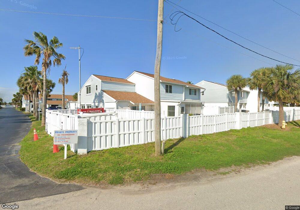
17 Bristol Ln Ormond Beach, FL 32176
Estimated Value: $270,972 - $299,000
2
Beds
2
Baths
1,360
Sq Ft
$209/Sq Ft
Est. Value
About This Home
This home is located at 17 Bristol Ln, Ormond Beach, FL 32176 and is currently estimated at $283,743, approximately $208 per square foot. 17 Bristol Ln is a home with nearby schools including Ormond Beach Middle School, Seabreeze High School, and Lourdes Academy.
Ownership History
Date
Name
Owned For
Owner Type
Purchase Details
Closed on
Oct 8, 2025
Sold by
Vaccari Everton and Vaccari Carla
Bought by
Sykes Bruce and Sykes Dianna
Current Estimated Value
Purchase Details
Closed on
Jul 27, 2021
Sold by
Bernadisus Charlotte
Bought by
Bernadisus Charlotte and Kauth Jeffrey M
Purchase Details
Closed on
Nov 8, 2017
Sold by
Bernadisusu Charlotte
Bought by
Kauth Steven M and Kauth Jeffrey M
Purchase Details
Closed on
Feb 2, 2016
Sold by
Bernadisus Charlotte
Bought by
Kauth Steven M and Bernadisus Charlotte
Purchase Details
Closed on
Jun 15, 1980
Bought by
Bernadisus Charlotte
Create a Home Valuation Report for This Property
The Home Valuation Report is an in-depth analysis detailing your home's value as well as a comparison with similar homes in the area
Home Values in the Area
Average Home Value in this Area
Purchase History
| Date | Buyer | Sale Price | Title Company |
|---|---|---|---|
| Sykes Bruce | $281,000 | East Coast Title | |
| Bernadisus Charlotte | $1,428 | None Listed On Document | |
| Kauth Steven M | -- | Attorney | |
| Kauth Steven M | -- | Attorney | |
| Bernadisus Charlotte | $65,900 | -- |
Source: Public Records
Tax History
| Year | Tax Paid | Tax Assessment Tax Assessment Total Assessment is a certain percentage of the fair market value that is determined by local assessors to be the total taxable value of land and additions on the property. | Land | Improvement |
|---|---|---|---|---|
| 2026 | $998 | $111,348 | -- | -- |
| 2025 | $998 | $108,421 | -- | -- |
| 2024 | $908 | $105,366 | -- | -- |
| 2023 | $908 | $102,298 | $0 | $0 |
| 2022 | $937 | $99,318 | $0 | $0 |
| 2021 | $953 | $96,425 | $0 | $0 |
| 2020 | $933 | $95,094 | $0 | $0 |
| 2019 | $906 | $92,956 | $0 | $0 |
| 2018 | $900 | $91,223 | $0 | $0 |
| 2017 | $904 | $89,347 | $0 | $0 |
| 2016 | $904 | $87,509 | $0 | $0 |
| 2015 | $940 | $86,901 | $0 | $0 |
| 2014 | $931 | $86,211 | $0 | $0 |
Source: Public Records
Map
Nearby Homes
- 47 Chippingwood Ln
- 46 Chippingwood Ln
- 3 Oriole Cir Unit B
- 11 Oriole Cir Unit A
- 601 Robin Rd Unit A
- 497 Grandview Ave
- 106 Cardinal Dr Unit B
- 67 Ormond Shores Dr
- 150 Benjamin Dr
- 159 Ponce de Leon Dr
- 2 Cypress Cir
- 246 Ponce de Leon Dr
- 395 S Atlantic Ave Unit 305
- 395 S Atlantic Ave Unit 701
- 395 S Atlantic Ave Unit 301
- 395 S Atlantic Ave Unit 102
- 395 S Atlantic Ave Unit 501
- 395 S Atlantic Ave Unit 402
- 792 Marvin Rd
- 46 Marvin Rd
Your Personal Tour Guide
Ask me questions while you tour the home.