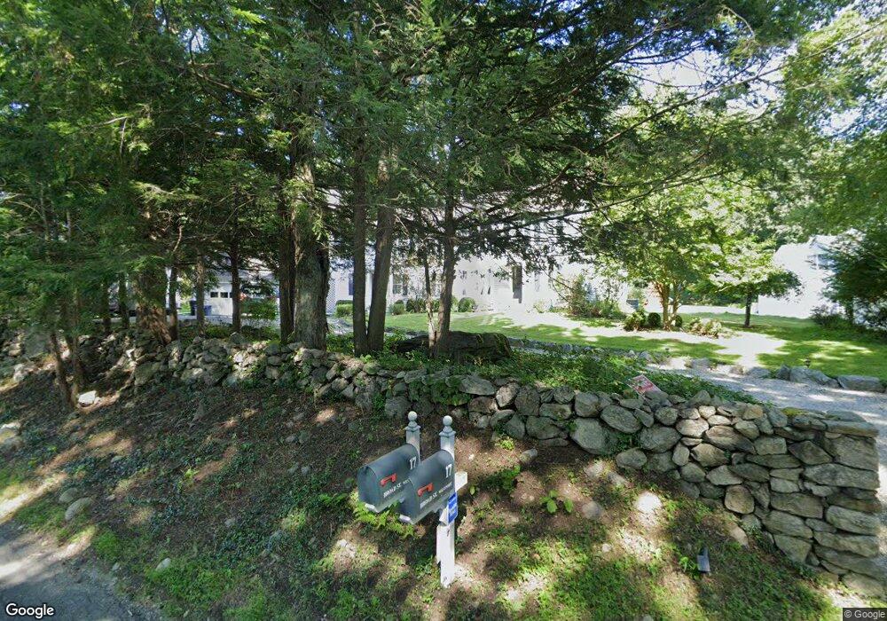
17 Broad St Westport, CT 06880
Red Coat NeighborhoodEstimated Value: $2,339,000 - $3,182,000
6
Beds
8
Baths
5,774
Sq Ft
$453/Sq Ft
Est. Value
About This Home
This home is located at 17 Broad St, Westport, CT 06880 and is currently estimated at $2,617,049, approximately $453 per square foot. 17 Broad St is a home located in Fairfield County with nearby schools including Coleytown Elementary School, Coleytown Middle School, and Staples High School.
Ownership History
Date
Name
Owned For
Owner Type
Purchase Details
Closed on
Aug 23, 2005
Sold by
Wallace Noel and Wallace Nancy
Bought by
Talbott Benjamin M and Talbott Heather X
Current Estimated Value
Purchase Details
Closed on
Jan 6, 2003
Sold by
Bass Stephanie
Bought by
Wallace Noel and Wallace Nancy
Purchase Details
Closed on
Aug 6, 1991
Sold by
Altman Norman and Jansen Joan
Bought by
Schwartz Lawrence and Bass Stephanie
Create a Home Valuation Report for This Property
The Home Valuation Report is an in-depth analysis detailing your home's value as well as a comparison with similar homes in the area
Home Values in the Area
Average Home Value in this Area
Purchase History
| Date | Buyer | Sale Price | Title Company |
|---|---|---|---|
| Talbott Benjamin M | $1,550,000 | -- | |
| Talbott Benjamin M | $1,550,000 | -- | |
| Wallace Noel | $1,299,000 | -- | |
| Wallace Noel | $1,299,000 | -- | |
| Schwartz Lawrence | $290,000 | -- |
Source: Public Records
Mortgage History
| Date | Status | Borrower | Loan Amount |
|---|---|---|---|
| Open | Schwartz Lawrence | $1,000,000 | |
| Closed | Schwartz Lawrence | $390,000 |
Source: Public Records
Tax History
| Year | Tax Paid | Tax Assessment Tax Assessment Total Assessment is a certain percentage of the fair market value that is determined by local assessors to be the total taxable value of land and additions on the property. | Land | Improvement |
|---|---|---|---|---|
| 2025 | $14,300 | $758,200 | $428,400 | $329,800 |
| 2024 | $16,123 | $865,900 | $428,400 | $437,500 |
| 2023 | $15,889 | $865,900 | $428,400 | $437,500 |
| 2022 | $15,647 | $865,900 | $428,400 | $437,500 |
| 2021 | $15,647 | $865,900 | $428,400 | $437,500 |
| 2020 | $16,662 | $997,100 | $452,200 | $544,900 |
| 2019 | $16,811 | $997,100 | $452,200 | $544,900 |
| 2018 | $6,006 | $997,100 | $452,200 | $544,900 |
| 2017 | $16,811 | $997,100 | $452,200 | $544,900 |
| 2016 | $16,811 | $997,100 | $452,200 | $544,900 |
| 2015 | $14,960 | $827,000 | $373,700 | $453,300 |
| 2014 | $14,836 | $827,000 | $373,700 | $453,300 |
Source: Public Records
Map
Nearby Homes
- 25 Hermit Ln
- 93 E Meadow Rd
- 4 Good Hill Rd
- 30 Cavalry Rd
- 126 Heather Ln
- 35 Joanne Ln
- 381 Chestnut Hill Rd
- 282 North Ave
- 278 North Ave
- 30 Freshwater Ln
- 128 Grumman Hill Rd
- 110 Dudley Rd
- 2 Rockyfield Rd
- 13 River Ln
- 319 Bayberry Ln
- 21 Warnock Dr
- 24 Warnock Dr
- 489 Main St
- 16 Gault Park Dr
- 76 Sturges Ridge Rd
Your Personal Tour Guide
Ask me questions while you tour the home.